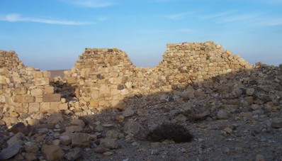
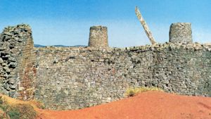
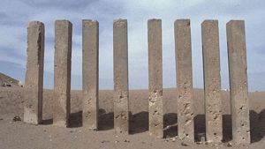
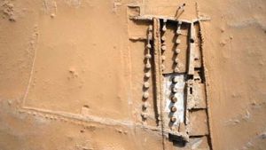
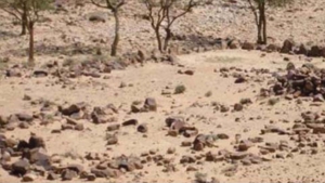
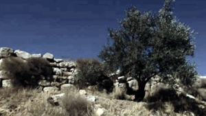
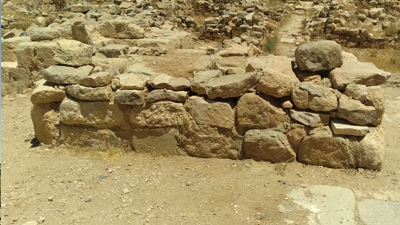
Sometime back in history, someone living in this same area as the Nabataean Inner Kingdom decided to do something about the desert raids. Their solution was brilliant. Forts were constructed on hilltops, each within site of the other. Between the forts, a small wall was constructed, perhaps a meter or a meter and a half in height. The wall was very rough, with no foundation, and consisting only of boulders piled one on top of the other. I am sure the raiding tribes originally considered the wall with disdain. It could easily be knocked over, and the raiders could sweep into or out of the walled area.
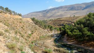
This wall is known today as the Khatt Shebib. It was named by the Bedouins who erroneously call it after the Arab ruler Amir Shebib, who tried settling the Bedouin in the 10th century AD. Apparently he used the ancient wall as a border marker, to differentiate between the settled area and the open desert range land. Since the wall has no other name, some simply call it the Arab Wall. It starts in the north near Wadi Hasa, and sweeps in a gentle curve south and east until it reached the Naqab Escarpment. Altogether, it is approximately 100 kilometers from the north end to the south end, although many portions of it have been destroyed by encroaching farmland and settlements. Sometimes a parallel wall or walls run east, or west of the original wall, creating yet another barrier for raiding parties to cross. Inside the wall were the wells, springs, crops, and herds of the settled people. Outside the wall were the barren hills and deserts of the nomads, with no water for many miles. Only the desert oasis of Ma’an and Jafr contained any sizable water resource outside the walls. It is generally assumed that these oases were the gathering centers for the desert tribes who wished to raid on the settled lands. The Nabataeans and later the Romans built fortifications at these oases to hinder the desert raiders even more.
Desert raiding required three things. It required a stealthy entry, a quick grab, and then a very quick getaway. The main concern was getting away, before the local inhabitants cut off escape. The Arabian Wall was a brilliant defense against these raids.
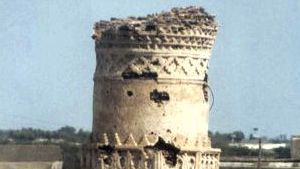
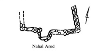
Along the wall were towers with small groups of watchmen. Some towers were so small that only one or two men could have been stationed there. These men watched during the day, and listened to the ground during the night. They would either see or hear any raiders who were carefully trying to cross into their lands. Once the raiders were spotted, smoke or flare alarms could be set off. Then, whatever walls were thrown down by the raiders could be quickly piled back up by the guards after the raiders had passed through.
Once the raiders were in the settled lands, they would sweep down on unsuspecting farmers and herders. However, if the guards on the wall saw or heard the raiders as they crossed the frontier, warning fires and smoke signals could easily be sent up by the towers on either side of the break-in-point so everyone could tell exactly where the raiders had entered.
The raiders would then be forced to quickly grab whatever they could and rush back into the desert. Desperately driving herds of sheep and goats they would again head back to the wall, only this time, they would have to stop and re-knock the hole in the wall that the watchmen had piled back up, while watch towers on either side of them would be sending up signal fires, directing any pursuers to the exact spot.
Once the Nabataeans controlled the area, they stationed cavalrymen at locations along the wall who could quickly descend on the escaping raiders and retrieve the plunder.
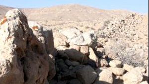
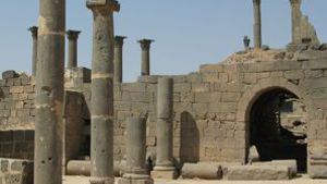
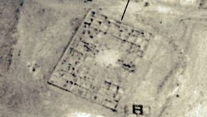
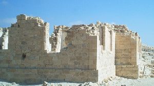
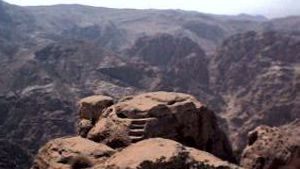
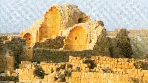
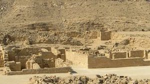
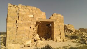
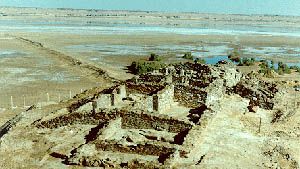
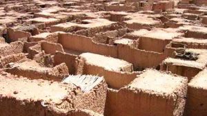
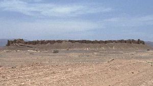
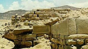
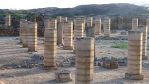
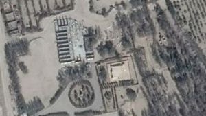
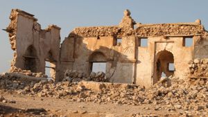
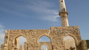
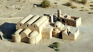
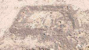
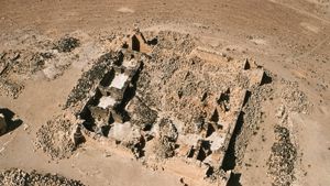
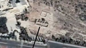
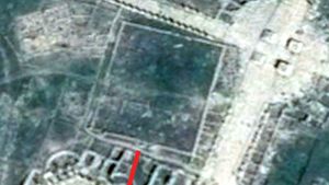
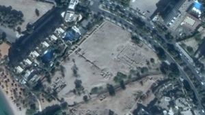
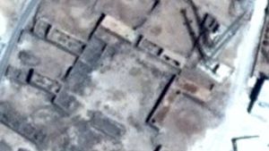
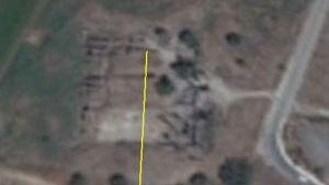
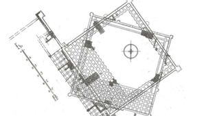
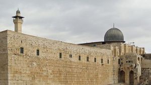
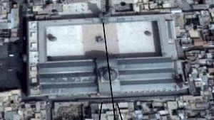
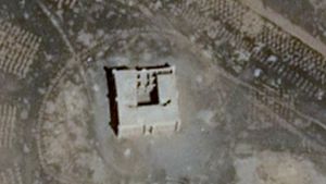
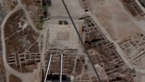
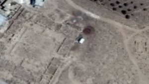
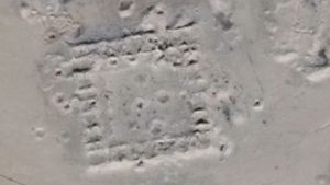
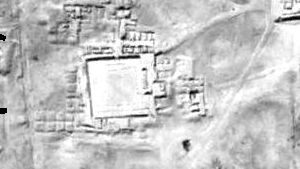
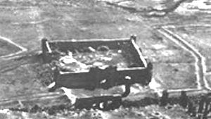
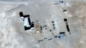
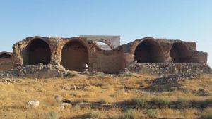
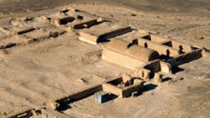
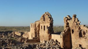
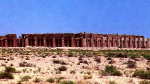
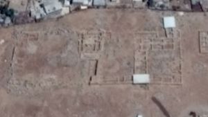
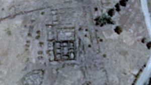
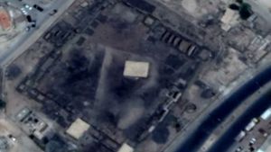
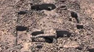
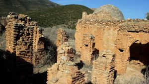
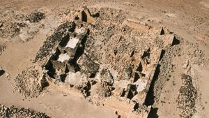
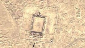
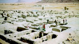
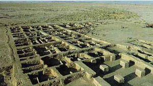
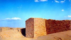
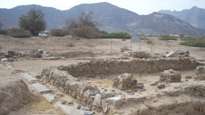
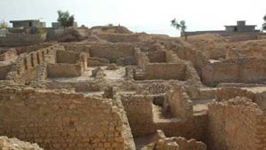
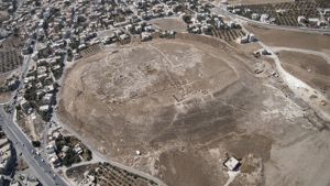
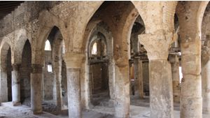
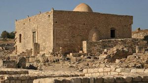
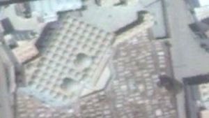
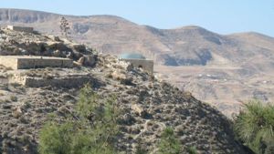
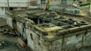
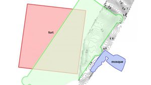
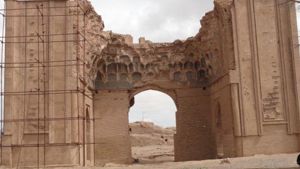
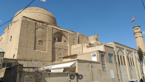
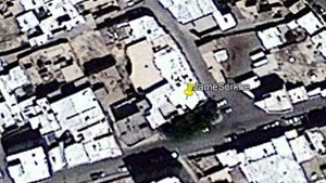
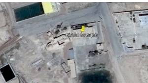
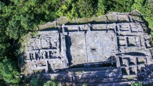
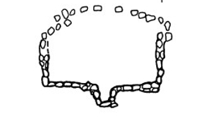
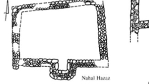
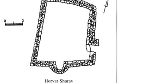
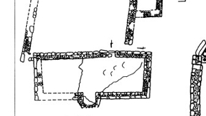
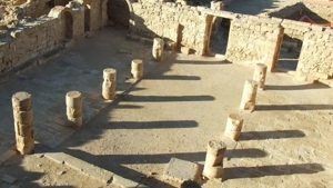
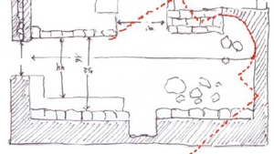
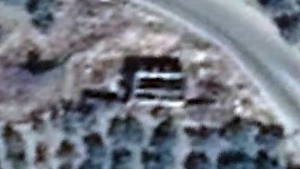
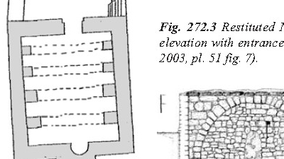
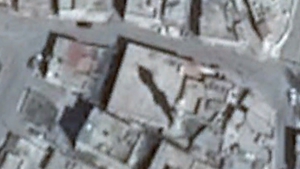
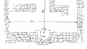
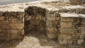
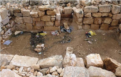
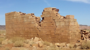
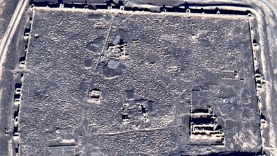
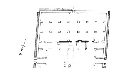
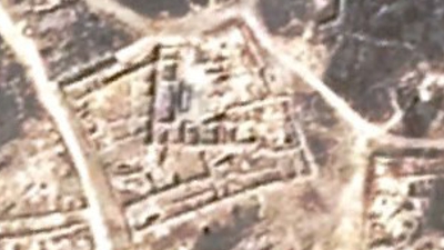
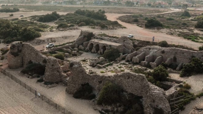
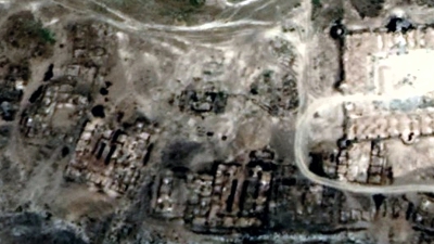
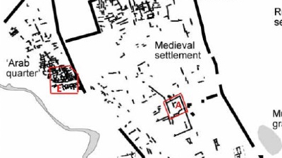
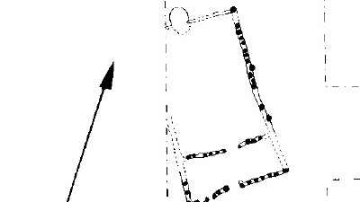
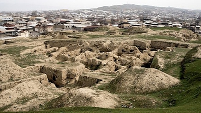
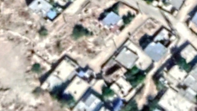
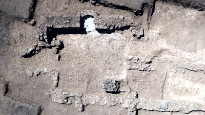
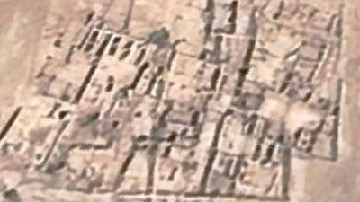
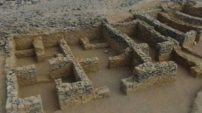
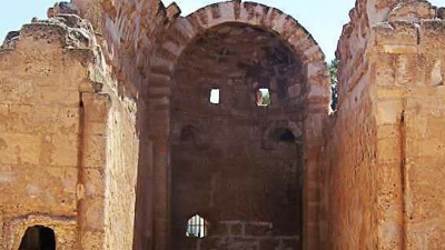
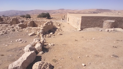
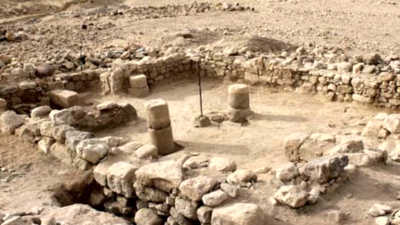
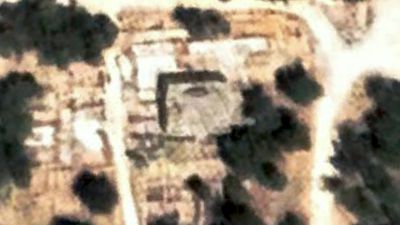
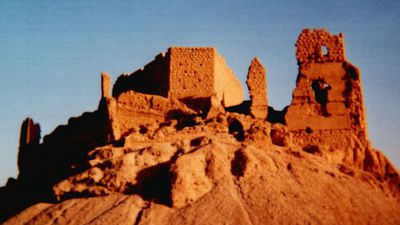
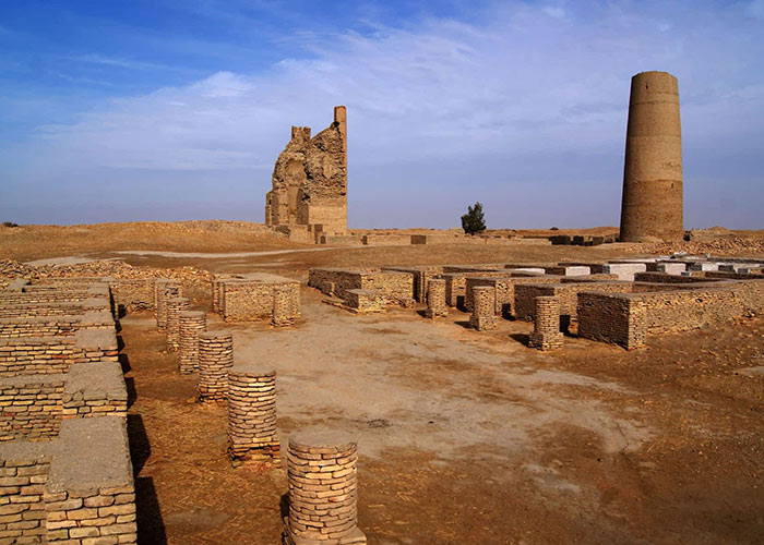
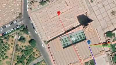
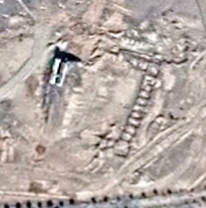
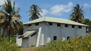
At various intervals along the wall, there are Nabataean cavalry camps. Such a camp exists two and a half kilometers east of Abu Lissan. At this site, there are a number of Nabataean-styled barrack buildings and a large number of animal enclosures etc. The cavalry from this station could be deployed east and west whenever a raiding party tried to enter the Nabataean Kingdom.
The Nabataeans used a similar tactic when Demetrius-the-Besieger, the son of Antigonus tried attacking Sela. The Nabataeans set off fire signals that flashed from mountain to mountain forewarning the Nabataean populace of the location of the attacking army.
Today the wall stretches for miles and miles across the eastern frontier of Nabataea (old Edom). Because it was built of loose fieldstones, there is no way to tell exactly who first constructed the wall. However, to this day, this wall stands as a witness of the ingenuity of the people of that region and as one of the least known, yet amazing structures in the Middle East.
In AD 106, the Romans occupied the Nabataean Empire, and the Inner Kingdom became part of the Roman province of Arabia. At this time, Roman soldiers and engineers toured the entire Nabataean Empire, and one of the notable things they would have studied was this ancient wall.
It is interesting to note that only sixteen years later the Romans themselves began to build a wall to slow barbarian raids on the northern border of their Province of Britain. The original wall was designed by Emperor Hadrian and it was built across an 80 mile wide stretch of British countryside. It is interesting to note that later Emperor Hadrian visited the Petra Province on his grand tour of the eastern Roman Empire, and it was he who gave the city of Petra his name, Petra Hadriana.
The original plan for Hadrian’s wall called for a small wall, lightly defended by skeleton troops, housed at intervals along the wall. Communications were flashed along the wall from fort to fort, and also to larger forts south of the wall. This is exactly the same plan that was used in the wall in Arabia. (See South Forts, and More South Forts) Two years after Hadrian ordered work on the wall to begin, he started to make changes. Sixteen large forts were added, the wall was strengthened, and ditches were dug. The new Roman wall was built of cut stone joined with mortar and was much higher and stronger than the Arabian Wall. Hadrians wall underwent a third stage at a later period when the wall was strengthened again. Much of this later building was probably influenced by the Roman preoccupation with discipline, keeping the troops busy, and building grand projects that would bring glory to the Empire. As Hadrian’s Wall was rebuilt, the Romans also built similar walls in North Africa and also in Germany (the Limes) to keep out raiders. (See “Hadrian’s Wall”, by Steven Johnson)
VIEWING THE WALL
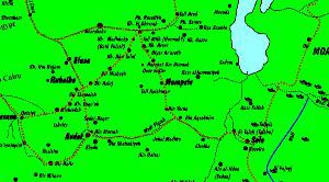
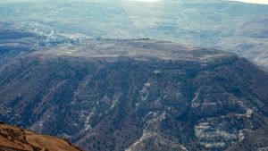
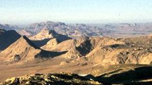
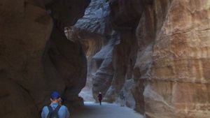
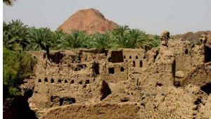
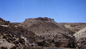
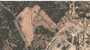
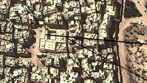
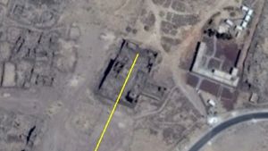
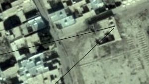
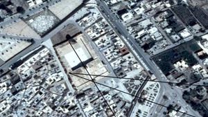
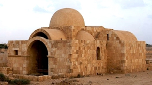
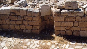
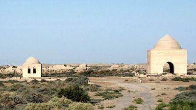
An easy place to view the Arab Wall is near Al Maregha, the first town south of Ma’an on the desert highway. If you are coming from Ma’an towards Aqaba, drive to the Al Maregha corner and make a U-turn. As you come back up the hill, take the first dirt track off the highway to your right. You can drive this dirt track with a regular car only if it has good clearance. Drive until you get to the top of the hill. (Perhaps 1⁄2 a kilometer) On your left, you will see the wall as you drive. On the top of the hill, the wall will be on your left, as well as the foundations of two structures (towers or barracks?) and a courtyard. Park here. From this hill, you can see the wall stretching on both sides of you.
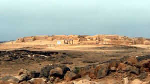
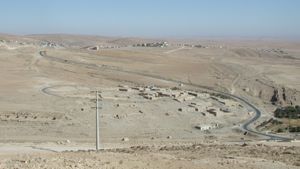
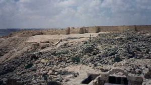
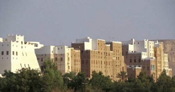
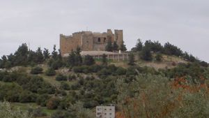
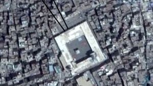
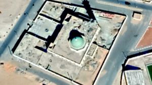
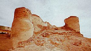
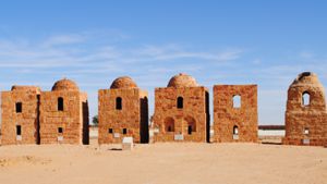
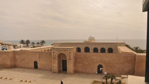
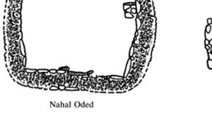
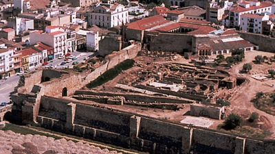
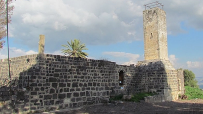
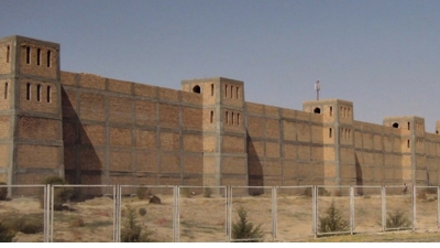
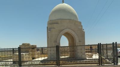
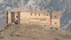
On the southeast side of the hill, the wall extends to the next hill where a small tower is situated. Far beyond this hill you can make out the microwave towers at Ras al Naqab. The south end of the wall ends at a fort east of these towers. If you decide to follow the track south, make sure you have a vehicle with plenty of clearance, such as a pick up or a four-wheel drive. You will eventually come to a Nabataean cavalry station and town. (Located 2.5 km east of Abu Lissan) This station is also available by taking a narrow track over the hill from the modern village of Abu Lissan. The large fort at the end of the wall can easily be reached by taking the road on the top of the escarpment from Ras al Naqab village. (Ras al Naqab has it’s own fort as well.)
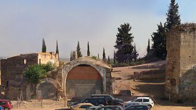
On the northwest side of the hill, the wall passes the town of Al Maregha and stretches on to Al Maregha Fort (several kilometers away). You can clearly see the fort and should be able to make out the wall stretching over the hill northward.
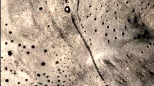
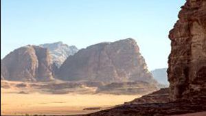
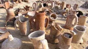
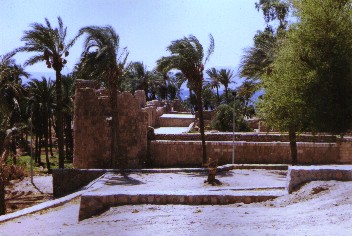
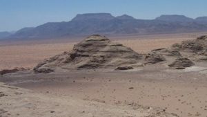
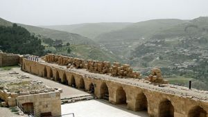
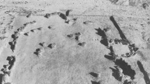
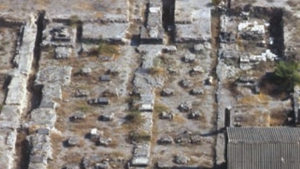
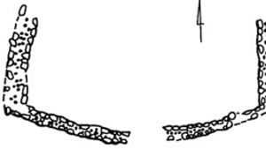
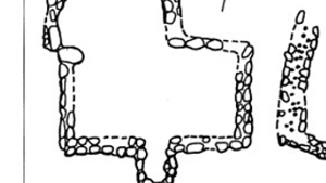
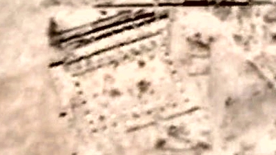
Below: Top: Pictures of the wall crossing the countryside. Bottom: The village and cavalry station east of Abu Lissan. Notice the acres and acres of fieldstone and cut rock at this site. (approximately 6 acres of ruins)


Page Discussion
Membership is required to comment. Membership is free of charge and available to everyone over the age of 16. Just click SignUp, or make a comment below. You will need a user name and a password. The system will automatically send a code to your email address. It should arrive in a few minutes. Enter the code, and you are finished.
Members who post adverts or use inappropriate language or make disrespectful comments will have their membership removed and be barred from the site. By becoming a member you agree to our Terms of Use and our Privacy, Cookies & Ad Policies. Remember that we will never, under any circumstances, sell or give your email address or private information to anyone unless required by law. Please keep your comments on topic. Thanks!