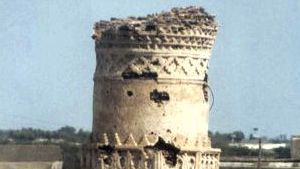
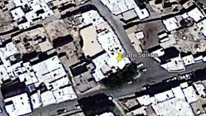
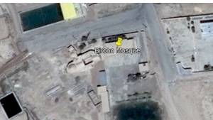
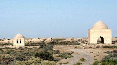
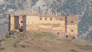
Location Name: Tell Qarassa Graves
Country: Syria
City: Caramil
Year of construction (AH): 81-183
Year of construction (AD): 700-799
GPS: 36.377965 37.275096
Gibson Classification: Between
Description:
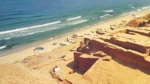
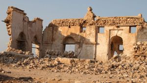
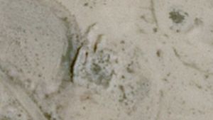
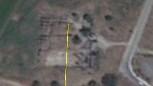
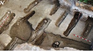
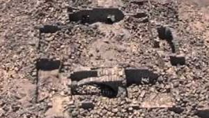
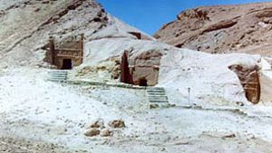
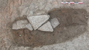
There are two Umayyad era burials along the northern ridge of this site. Unfortunately we have not been able to obtain any precise direction that the graves faced, other than “towards the south, towards Mecca.” Sadly it seems that no one thought to measure precisely the direction the bodies faced, or thought to place this information in their article.
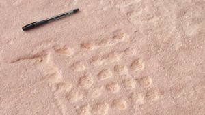
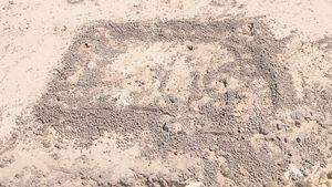
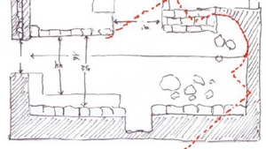
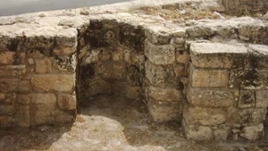
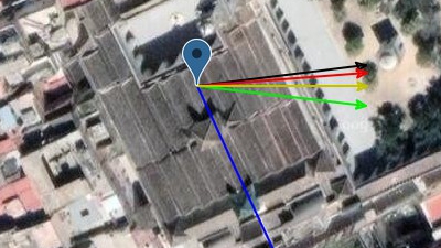
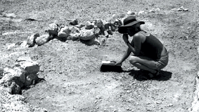
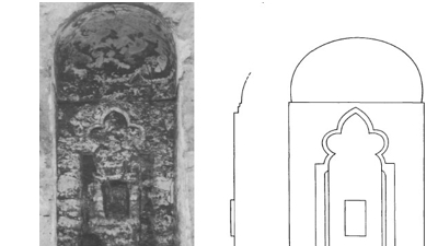
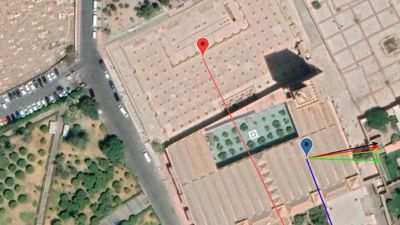
However, in the article is a photograph from the report. The direction of north is placed on the photo but with no indication of how this was measured. It seems the graves faced ‘south’ exactly at 180 degrees. If this is true, then that would mean the body faced within 3.61 degrees of the Between Qibla. We reserve the right to reclassify this grave, once more precise measurements can be obtained.

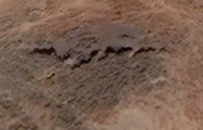
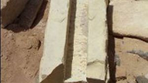
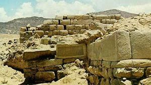
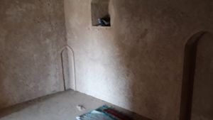
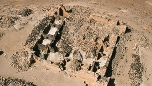
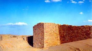
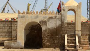
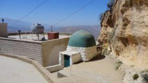
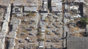
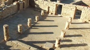
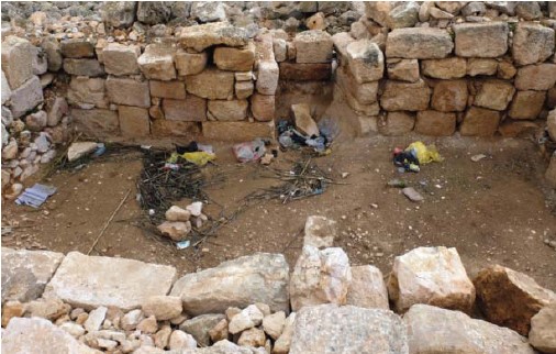
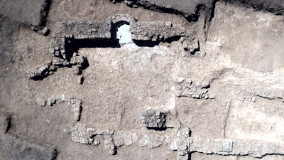
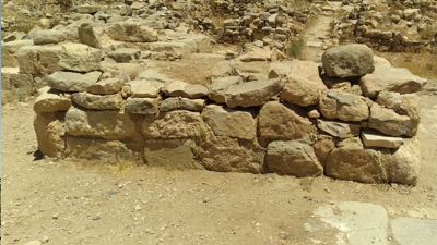
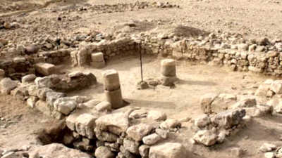
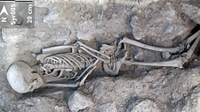
Above: A photo of one of the graves at Tell Qarassa.
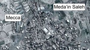
From this location, popular qiblas at the time were: Mecca: 170.86, Petra: 194.73, and Between: 183.61. However, we have not visited this site, and have not been able to determine a more exact qibla direction. When further information comes available, this site has been re-classified.
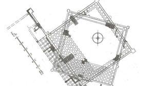
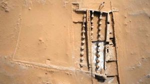
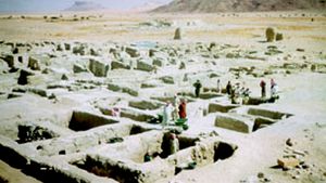
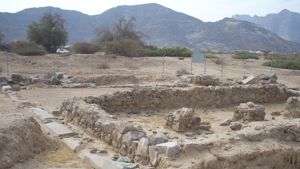
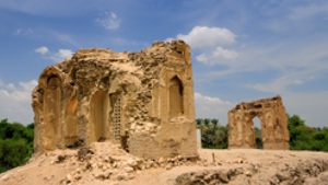
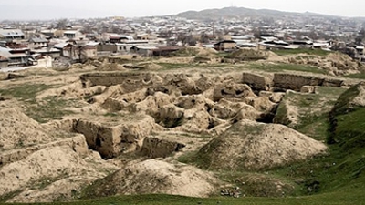
While Tell Qarassa North is usually known as a prehistoric site, there are two narrow graves on the surface levels of the site and directly radiocarbon dated to the Umayyad Era (seventh to eighth centuries) No cultural artifacts were associated with the human remains and no evidence of an Umayyad Era cemetery was documented at the site. The two Umayyad Era burials (UEB) were located very close to each other.
Above taken from the article: Bioarchaeological evidence of one of the earliest Islamic burials in the Levant. https://www.nature.com/articles/s42003-022-03508-4#ref-CR47?utm_campaign=related_content&utm_source=ECOEVO&utm_medium=communities
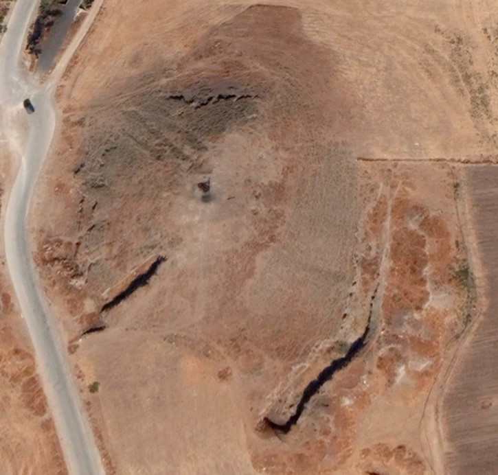
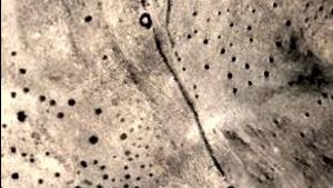
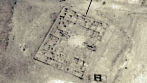
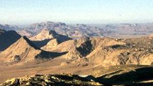
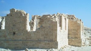
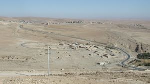
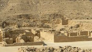
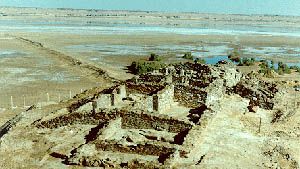
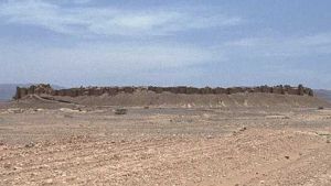
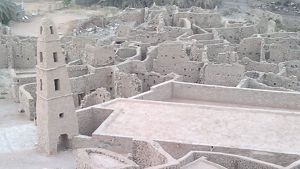
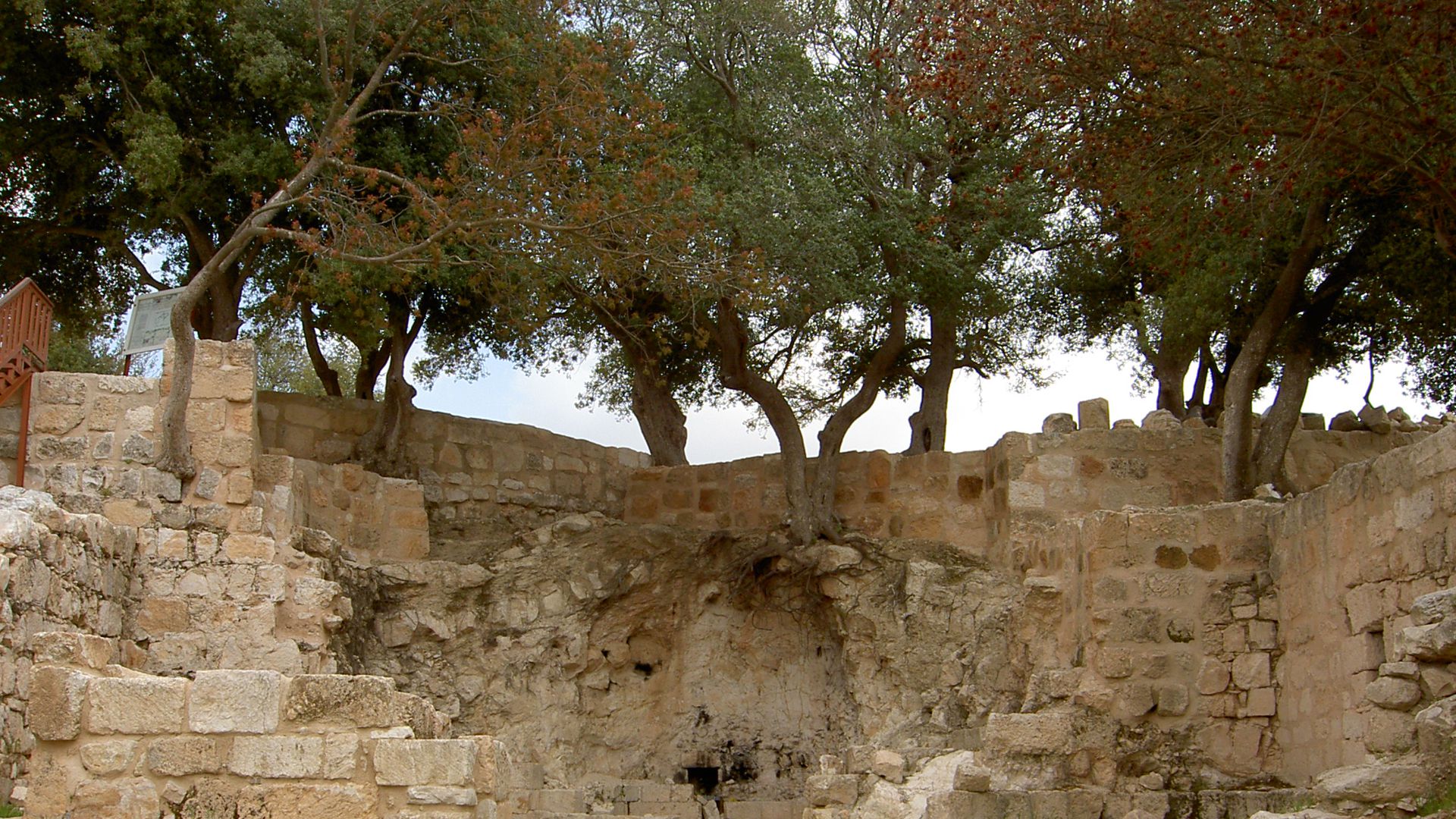
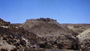
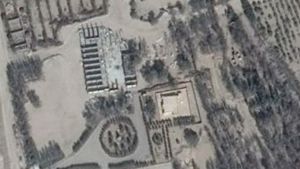
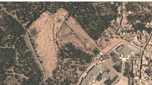
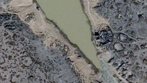
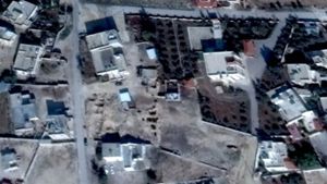
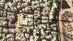
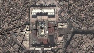
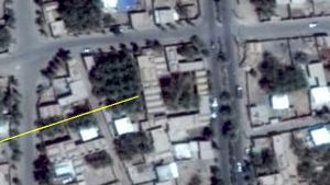
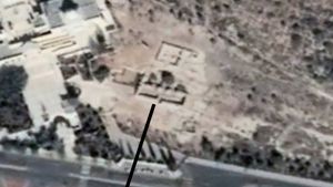
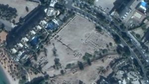
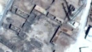
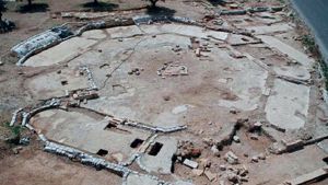
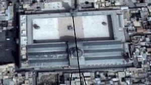
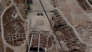
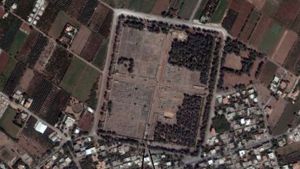
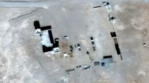
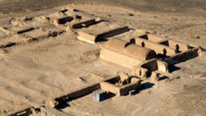
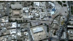
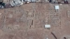
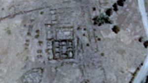
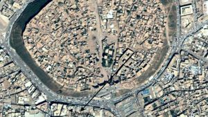
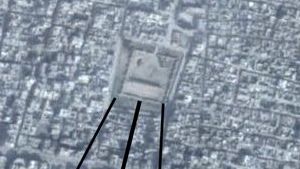
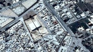
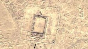
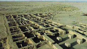
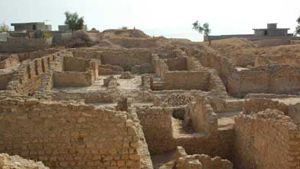
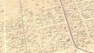
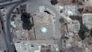
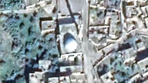
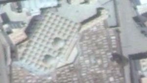
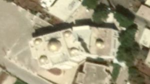
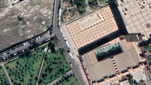
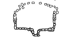
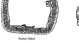
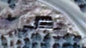
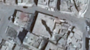
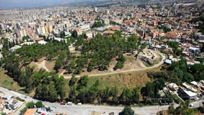
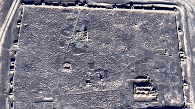
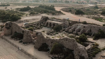
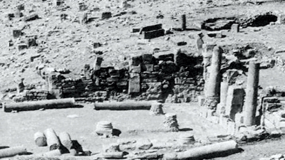
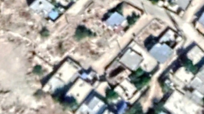
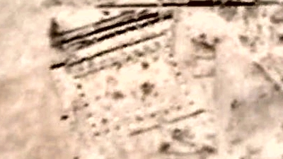
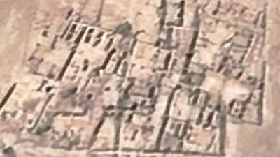
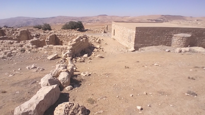
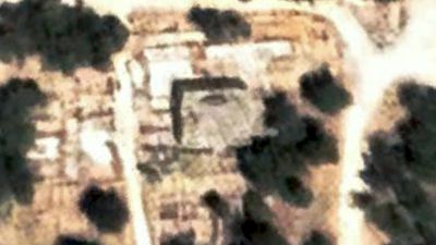
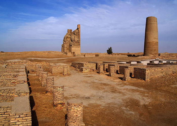
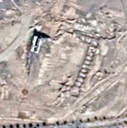
The tell is horseshoe shaped, and covered with graves.
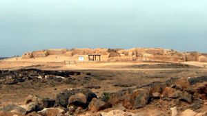
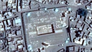
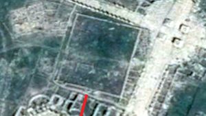
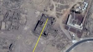
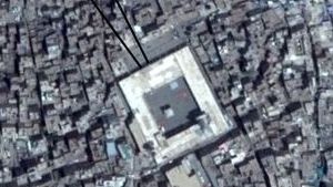
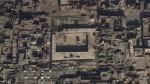
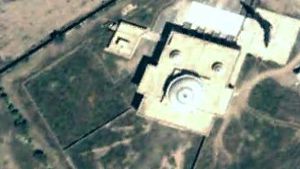
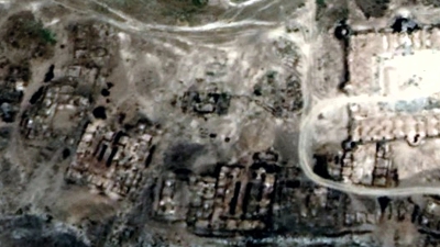
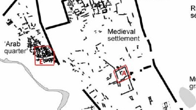
The two red triangles mark the site of the Umayyad era graves. Source is the article mentioned above.
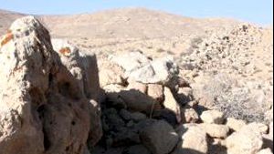
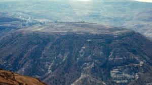
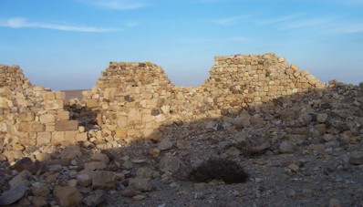
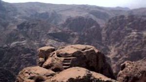
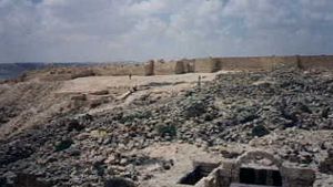
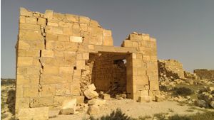
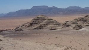
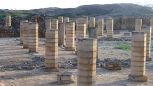
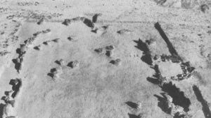
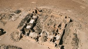
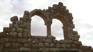
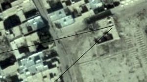
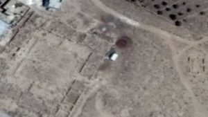
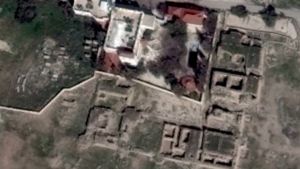
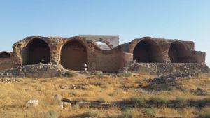
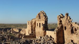
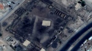
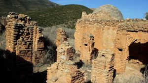
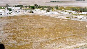
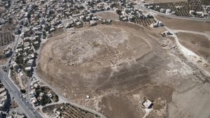
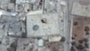
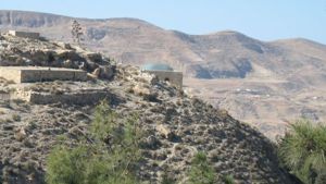
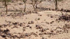
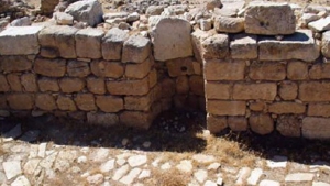
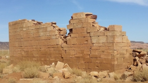
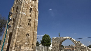
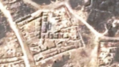
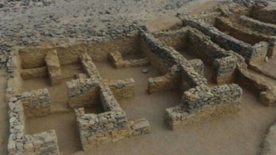
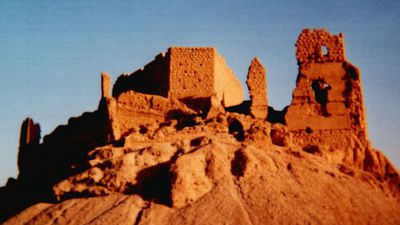
The ridge where the graves are located.


Page Discussion
Membership is required to comment. Membership is free of charge and available to everyone over the age of 16. Just click SignUp, or make a comment below. You will need a user name and a password. The system will automatically send a code to your email address. It should arrive in a few minutes. Enter the code, and you are finished.
Members who post adverts or use inappropriate language or make disrespectful comments will have their membership removed and be barred from the site. By becoming a member you agree to our Terms of Use and our Privacy, Cookies & Ad Policies. Remember that we will never, under any circumstances, sell or give your email address or private information to anyone unless required by law. Please keep your comments on topic. Thanks!