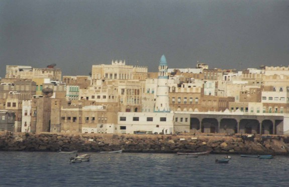
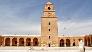
The legendary city of Ubar was once a center of trade and wealth. According to legends and accounts by early historians, this city was fabulously wealthy as it was located on the overland incense trail.
One day, however, (as legend tells us) a prophet arrived on the scene and approached the last king of Ubar. This prophet foretold that the city and the entire civilization of Ubar would be destroyed by God, as punishment for their wicked living. The king ignored him and a short while later the city disappeared from historical record and was buried under the sands of the Empty Quarter of Arabia.
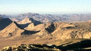
For centuries, travelers in Arabia have looked for the lost city. Then, in February 1992 an article by John Noble was splashed across the front page of the New York Times, declaring that the lost city of Ubar had been discovered. This article was then relayed all around the world and excitement grew. “Guided by ancient maps and sharp-eyed surveys from space” the article claimed “archaeologists and explorers have discovered a lost city deep in the sand of Arabia.”
The article claimed that a geologist and specialist in space remote-sensing technology from the Jet Propulsion Laboratory in Pasadena, California by the name of Dr. Ronald G. Blom, compared maps made by Ptolemy, the Roman historian, with photographs from Landsat space satellites. He hoped that he could identify sites that archeologists could later investigate on the ground. From the Landsat pictures, however, he discovered that there were no ruins of any ancient cities visible. However, because so little changes in the deserts of Oman and Yemen, he could see ancient paths and tracks in the desert. These tracks had persisted for a very long period, and after careful computer processing, the scientists were able to make them out on the Landsat pictures. The ancient tracks acted like a road map. The scientists assumed that where many tracks merged, an ancient city must exist. When the archeologists arrived at the spot that Dr. Blom had pointed out, they indeed discovered ruins in the deserts of Arabia. It was assumed that these ruins were the remains of ancient Ubar.

Book Cover
The truth is, that the expedition was headed up by a group of people, one of them Nicolas Clapp, a world explorer known as Sir Ranulph Fiennes, and an archeologist Dr. Juris Zarins. (See a copy of an interview with him at: http://www.pbs.org/wgbh/nova/ubar/zarins/ In his book, Atlantis of the Sands, Fiennes notes that Dr. Zarins commented to him: “The truth is, it was found by hard work, and excavation. The satellite imagery allowed us to eliminate sites so we could concentrate on the most probable areas.” Ranulph Fiennes later published his account “Atlantis of the Sands” Bloomsberry 1992 (right) as an effort to correct this misrepresentation. The LandSat photos were helpful, but the camel caravan routes through the desert had been noted many years before. When they started digging at Shisr, near the Arab fort, they began to uncover a large ancient structure. No one was sure what it was, until the article appeared the the New York times. Suddenly the world was convinced that Shisr was Ubar. But is the academic world convinced? To date, no one has published any proof that links the structure at Shisr with Ubar.
Book Cover
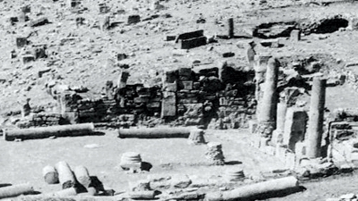
Clapp, the author of The Road to Ubar, Finding The Atlantis of the Sands, Houghton Miffin Company, New York, 1998 seems to indicate that he did most of the historical research. He notes on page 41 of his book that Ubar was located on Ptolemy ’s Map of the World. Claudius Ptolemy was born in Greece and lived in Egypt around 110-170 AD, and acted as the overseer of the Bibliotheca in Alexandria (Great Library, which had some 750,000 manuscripts). Among them were several “Peripluses” or “round trips” recording coastlines, ports, and something on the lives of people at each stop. (See ptolomaeus.html) Ptolemy knew the world was round, as did the educated world at the time, so Ptolemy constructed a globe of the world, with lines of latitude and longitude. It is unclear whether Ptolemy was the originator of this idea, or if he obtained his information from the Arab merchants that plied the world. In any case, Alexandria was the center of the world, and lines of latitude and longitude were constructed. Medina (known then as Yathrib) was at 71 x 23 degrees . Saba Regio, the royal city of Sheba was at 73 X 16 degrees . Ptolemy’s globe was a standard for geographers at that time.

Ancient map by Piri Ibn Haji Memmed
In 391 AD the Roman Emperor Theodosius I looted the library, and burned many of the manuscripts. However, fragments survived after that, and in the late 1400’s several printing houses in Europe published maps that were based on Ptolemy’s work. (known as Cosmographias). A similar task was undertaken several centuries earlier when Piri Ibn Haji Memmed, otherwise known as Piri Re’is, an Ottoman admiral attempted the same thing. Much of the Piris Ri map was destroyed, especially the eastern part of Asia, but the part with Africa, Europe and North and South America survived.

Viper snake from Shisr
Clapp notes on page 138 that while exploring the area in southern Arabia he and his team came across a Carpet viper snake, very poisonous and deadly. It reminded them of the snakes mentioned by Diodorus and Strabo, who claimed that the frankincense fields were guarded by very poisonous snakes.
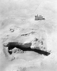
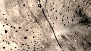
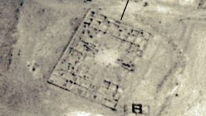
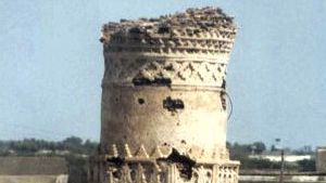
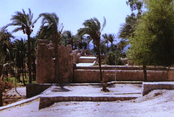
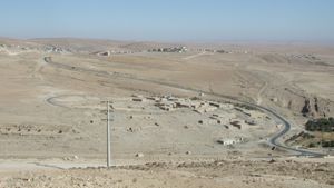
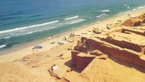
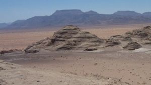
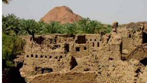
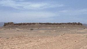
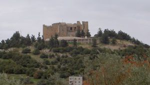
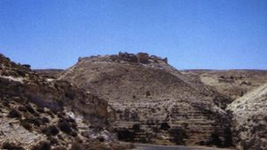
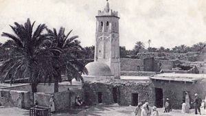
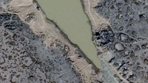
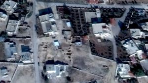
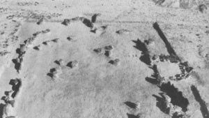
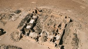
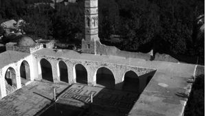
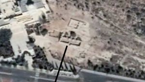
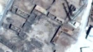
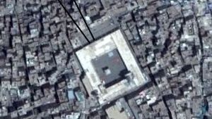
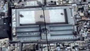
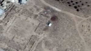
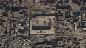
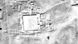
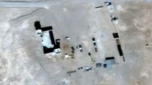
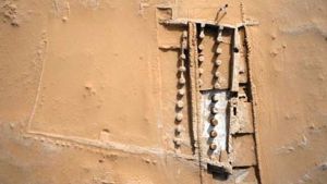
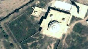
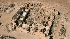
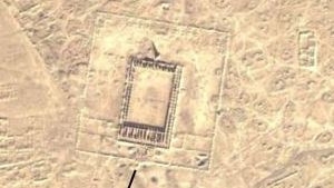
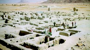
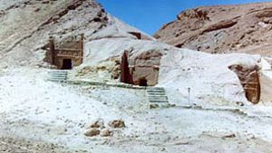
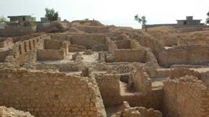
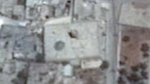
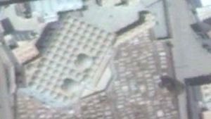
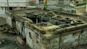
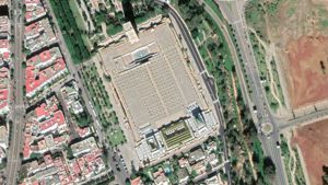
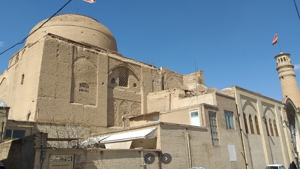
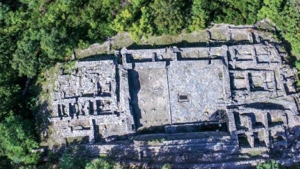
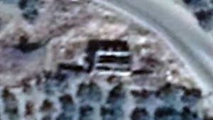
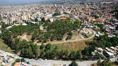
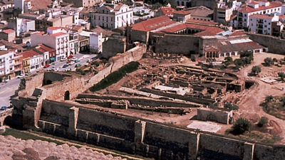
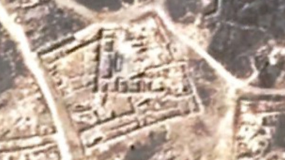
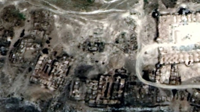
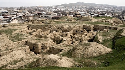
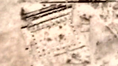
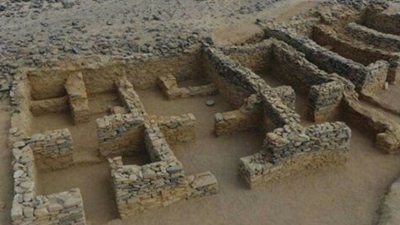
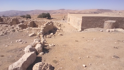
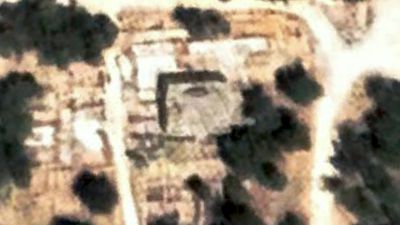
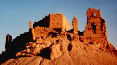
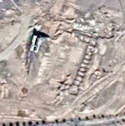
Shisr from the air before the excavation
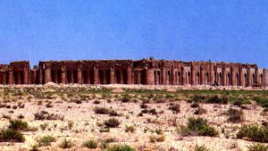
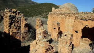
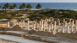
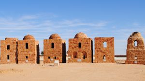
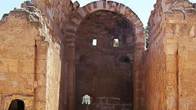
Rather than finding a lost city in the sand, Clapp’s expedition discovered a well known watering spot, as the photo on the right illustrates (1959). Bertram Thomas (1931) writes of visiting Shisr, as does Thesiger (1950) . The site was visited in 1953 by Wendell Phillips, The photo on the right was taken in 1959 from the air. When the team of explorers showed up the local people housed them in three new buildings. So much for lost cities under the sands.
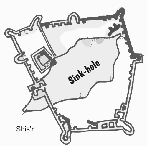
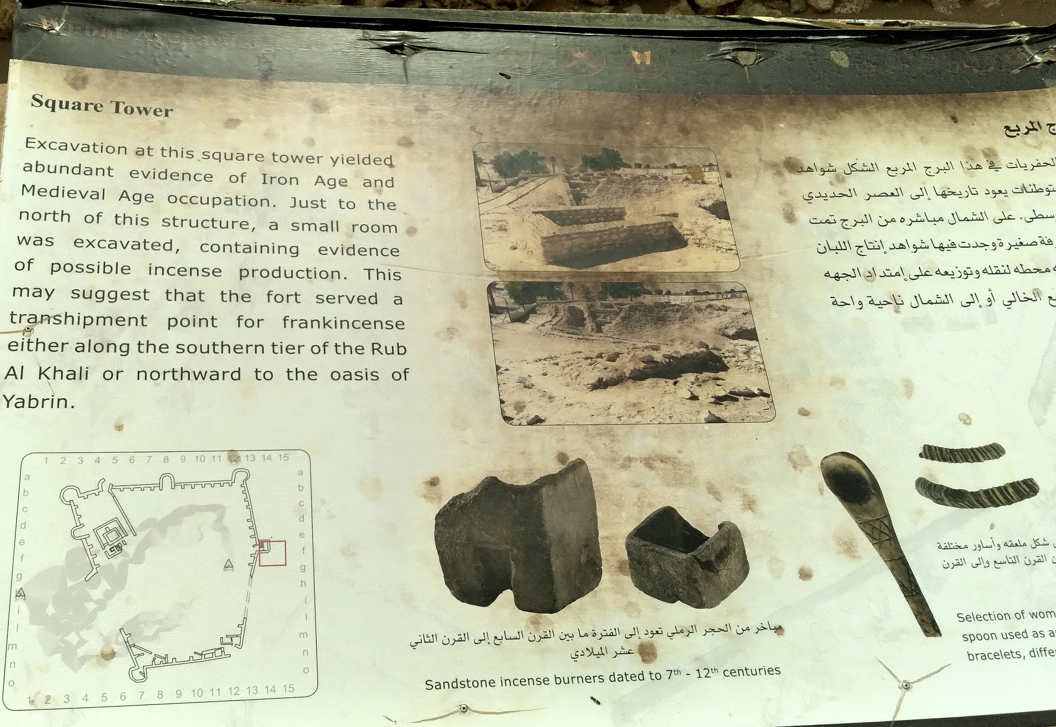
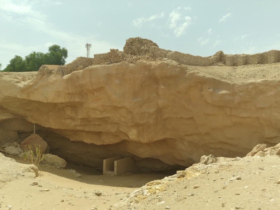
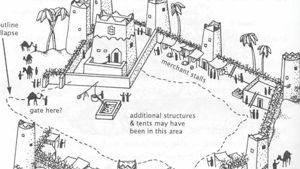
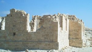
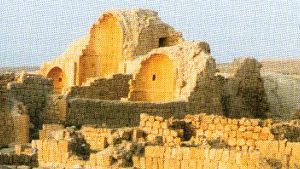
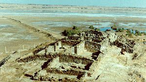
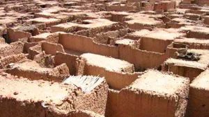
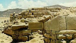
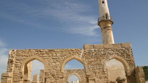
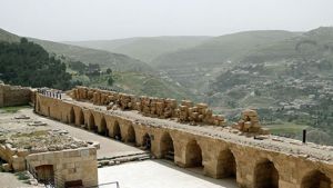
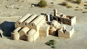
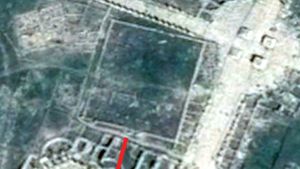
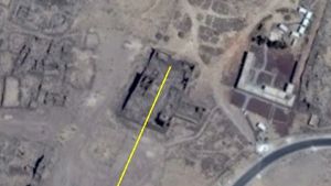
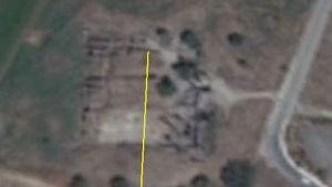
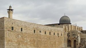
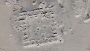
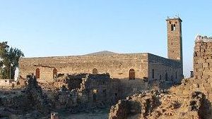
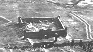
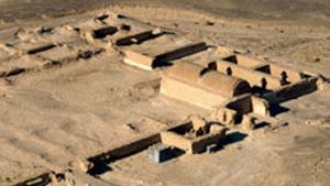
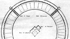
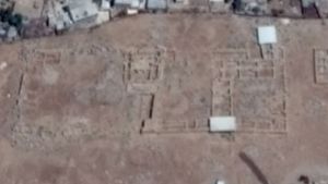
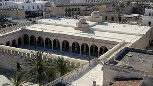
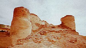
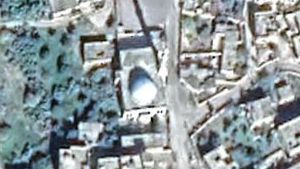
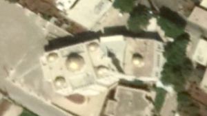
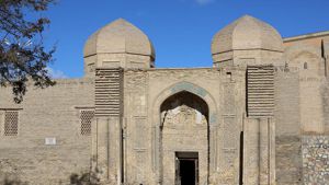
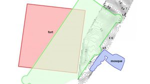
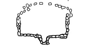
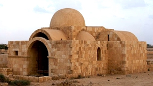
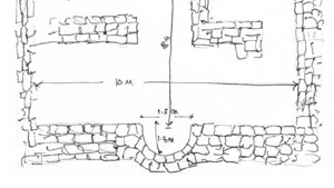
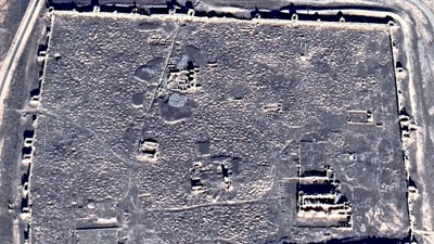
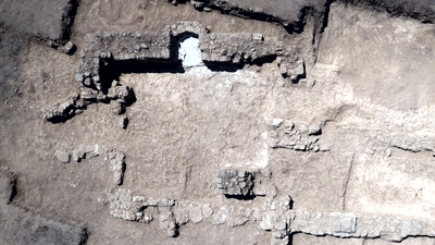
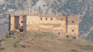
The ruins at Shisr were not very big, the size of many smaller villages or towns in Nabataea. Thus the team did not at first believe it was Ubar. But once they started digging they began to change their minds. It had what Ubar was supposed to have, towers and a well and ruins! However, most of the center of the fortification had been destroyed by a large sink-hole, apparently formed when an underground cave collapsed.
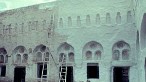
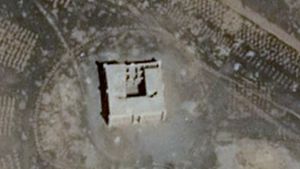
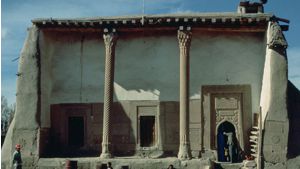
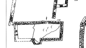
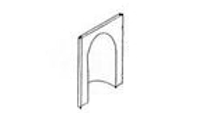
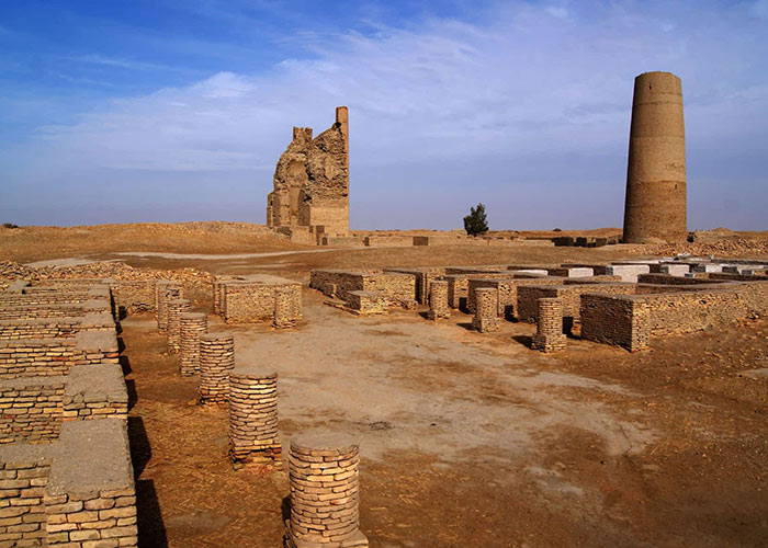
A drawing of Shisr
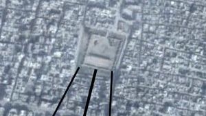
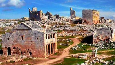
As I said, while the article in the New York Times seemed to indicate that this was a sensational discovery, the Shisr Fort site was explored much earlier by Bertram Thomas in the 1930s and Thesiger in the 1940’s. British officers photographed the area in the 1950s. It was not secluded and unknown. However, the size and the extent of the ruins were not understood until the excavations which began in 1992.
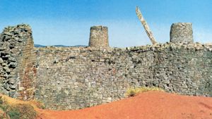
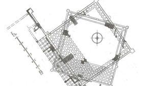
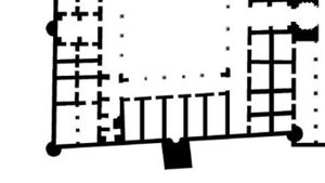
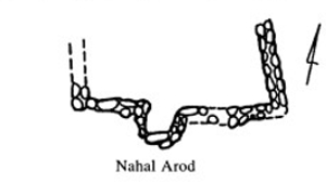
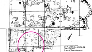
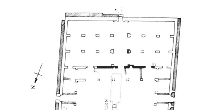
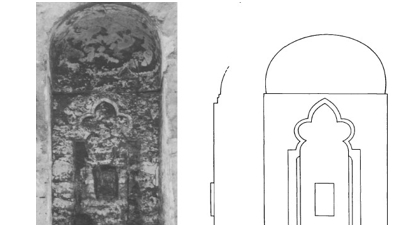
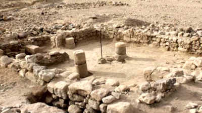
Because of the size of the sink-hole, much of the interior of Shisr fort was destroyed. The drawing on the right is based on a drawing made by Dr. Juris Zarins, and demonstrates how the sink-hole destroyed much of the center of the fortification.
Is this the ancient city of Ubar? The ancient city of Ubar is the stuff of legends. When Philby was searching for the lost city of Ubar in the sands of Arabia one of his Bedouin guides sang an old ballad of the lost city that went something like this:
‘From Qariya strike the sun upon the town,
Blame not the guide that vainly seeks it now
Since the Destroying Power laid it low Sparing not cotton smock or silken gown
Hear the words of Ad, Kin’ad his son,
Behold my castled town Auhar y’clept,
Full ninety studs within its stalls I kept To hunt the quarry, small and great, upon…"
The lost city of Ubar has long been associated with the lost people o f ‘Ad. (‘Ud). ‘Ubar is the name of the land which belonged to Ad in the eastern part of Yemen. Today it is an untrodden desert, owing to the drying up of its water. There are to be found in it great buildings which the wind has smothered in sand. (Nashwan bin Said Himyari, eleventh century).
Unfortunately, the old Islamic historians did not know where this lost land was, as is illustrated by the quotes below:
Wabar is between the land of the Beni Sa’ad, El shahr and Mohra (Yaqut)
The land of the ‘Ad is “from the sands of Alaj to the trees of Oman (Al Baidawi)
Al Akaf (of ‘Ad) is sand between Oman and Hadhramout (Ibn Ishak, cited in Yaqut)
Al Akaf (of ‘Ad) is a valley between Oman and Mahra land (Ibn Abbas, cited in Yaqut)
Irem dhat al hmad (Irem of the towers) is in the wilderness of Abyan (Al Handani)
When the fortification at Shisr was uncovered and proclaimed by John Noble to be the lost city of Ubar, joyful Muslims proclaimed that it was just as the Quran described it. But is it? A few fortified walls seem to fall very short of the description in the Quran where it tells us: Have you not considered how your Lord dealt with Ad, Aram, possessors of lofty buildings, (pillars) The like of which were not created in the (other) cities. (Al Fajir 6-8) Is this an accurate description on the ancient Shisr Fort?

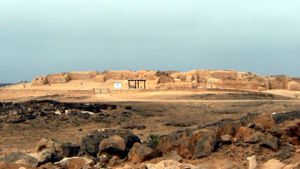
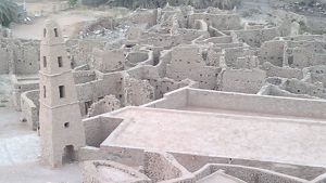
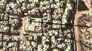
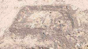
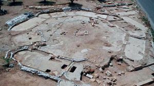
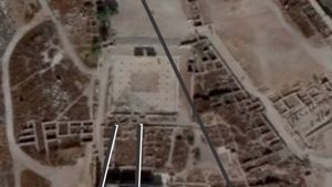
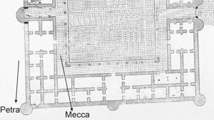
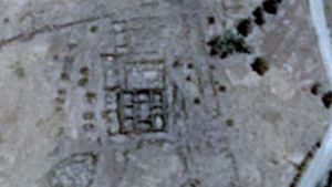
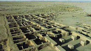
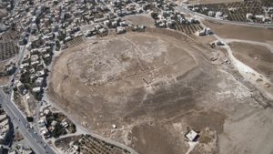
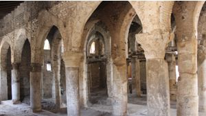
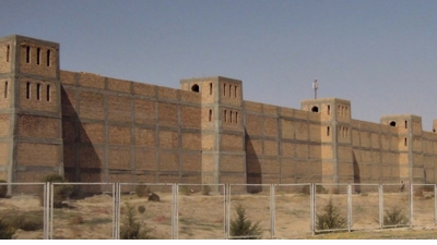
The above illustration was taken from Clapps book, page 202. As you can see, Shisr was a small place, with a few huts, some defensive towers, and a well in the center. If this was Ubar, then the legends certainly made it much greater than it actually was.
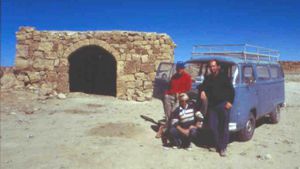
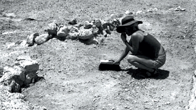
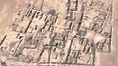
The truth is that the Shisr fortification is a lot smaller than what is projected in the drawings and other illustrations. Dan Gibson and team visited Shisr and were surprised at how small the place really one. At the end of their visit, they concluded that Shisr was nothing more than a fortified water source. See the photos at the end of this article.
Then consider how the people of ‘Ad and their city of Ubar was destroyed. The Quran clearly states:
And the ‘Ad, they were destroyed by a furious Wind,exceedingly violent; He made it rage against them seven nights and eight days in succession: so that thou couldst see the (whole) people lying prostrate in its (path), as they had been roots of hollow palm-trees tumbled down! Then seest thou any of them left surviving? (Surat al-Haaqqa: 6-8)
One Muslim scholars comments: The wind that destroyed Ubar came from the Wadi alMughith (Al Kisai)
But Shisr fort was destroyed differently. First of all, Shisr Fort was not a full-sized city, but rather a large fortified area. Second, it was destroyed by a sink-hole when the land caved downward due to a collapsing underground cave that was hollowed out by water action. Islamic writings tell us that the people of ‘Ad (‘Ud) were destroyed by a great wind. According to this evidence, I do find it hard to believe that Shisr is Ubar. ‘Ad I believe was in another place.
The Real Location of Ubar and Iram
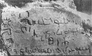
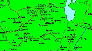
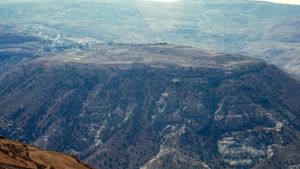
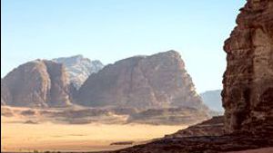
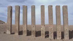
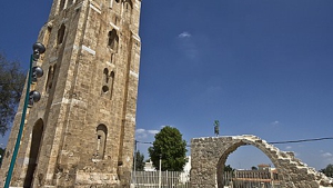
Today, archeologists seem to have collectively agreed that Wadi Rum in Jordan is the ancient home of the city of Iram. It is in southern Jordan, in the valley known as Wadi Rum. This was identified long ago by Yaqut, in his book Buldan. Today this has been confirmed with several inscriptions.
undefined
The above reads: “le-Ghawth ben Aslah ben Thokam wa-banaya bayta allât dhî âl ‘âd - “by Ghawth son of Aslah son of Thokam and he constructed the temple of Allât, of the people of Ad”. (Ahmad Al-Jallad)

undefined
Above: A signature of a man, written in the Safaitic script: le-zohay ben ʿâmer ḏî ʾâl ʿâd - “By Zhy son of ʿâmer of the lineage of ʿâd” from northern Jordan. A few more unpublished texts by men from ‘Ad have been discovered and will be published soon. (Ahmad Al-Jallad)
undefined
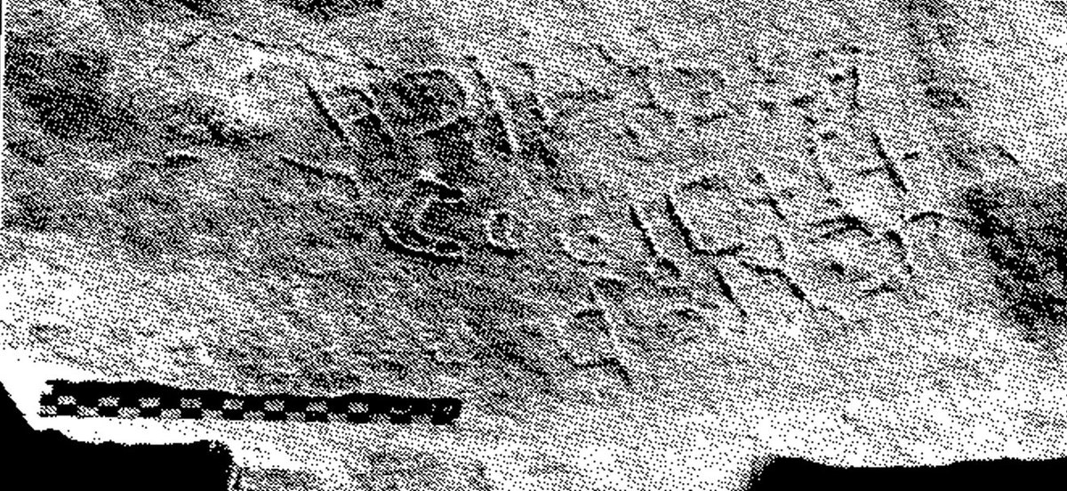
Above: The famous Jebel Ram inscription also gives us the ancient name of the region:
…w br ’lyw ktb / ydh b-‘rm “…w - son of ‘Aliyyo wrote (this) / with his own hand in Iram”
Ήbybw br … b-šlm w-b-T[b] - Habībo son of … in peace and wellbeing (Trans. R. Hoyland. pic: L. Harding) (Ahmad Al-Jallad)
So it is definite, and the Government of Jordan has officially declared that Wadi Rum is ancient Iram of the people of ‘Ad.
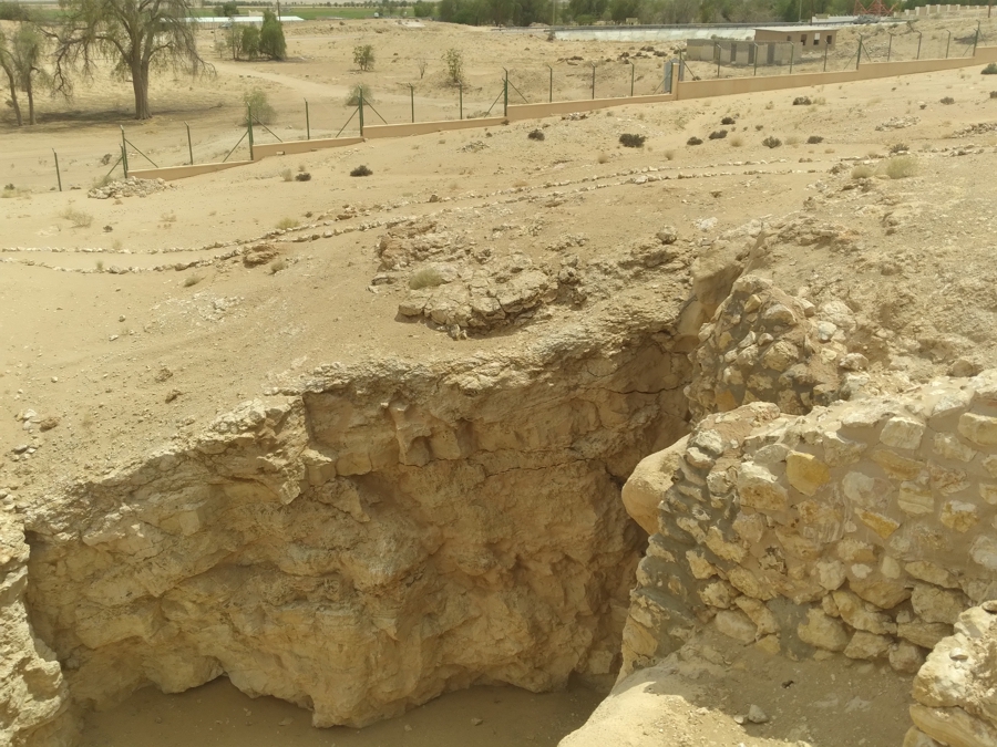
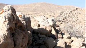
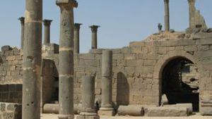
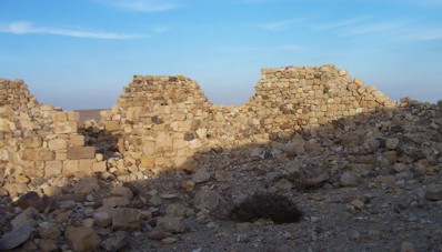
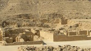
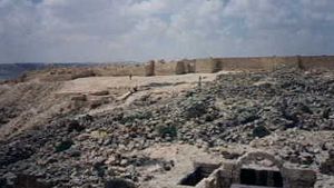
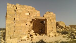
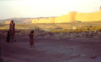
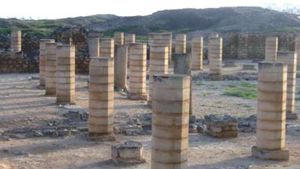
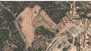
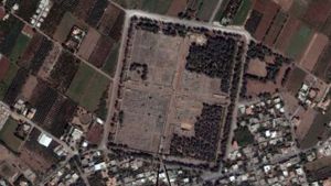
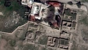
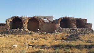
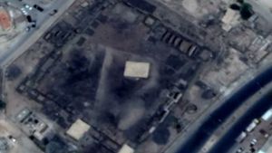
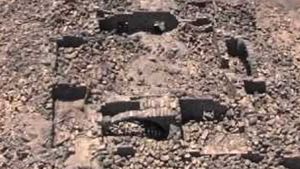
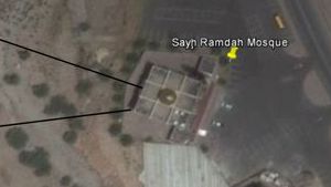
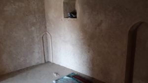
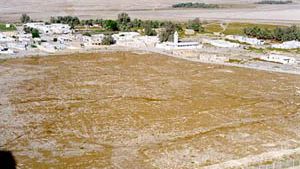
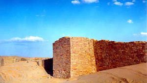
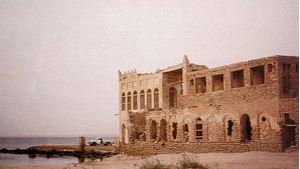
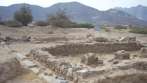
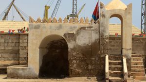
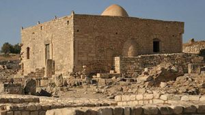
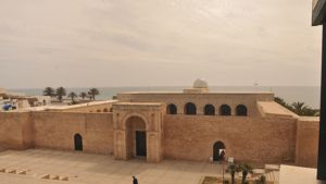
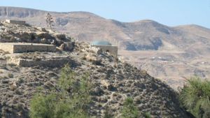
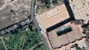
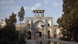
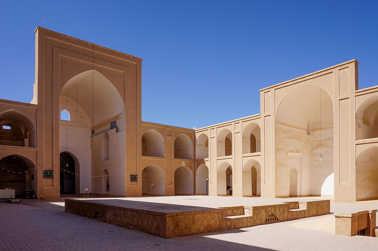
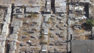
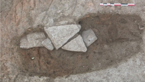
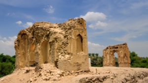
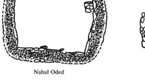
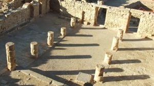
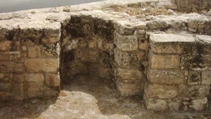
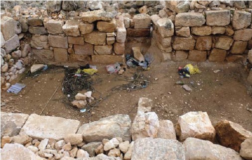
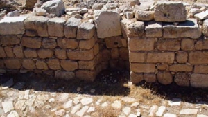
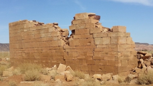
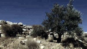
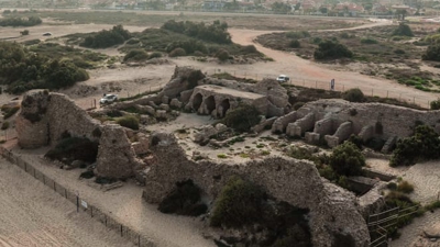
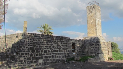
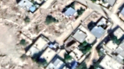
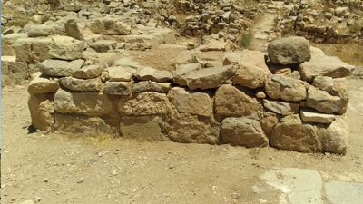
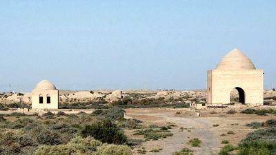
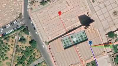
Some photos from Shisr in Oman
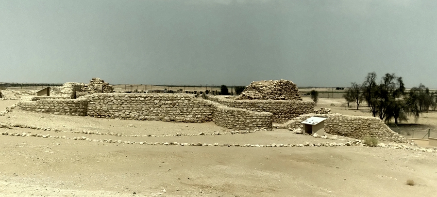
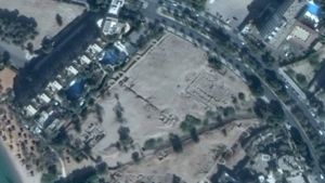
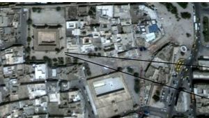
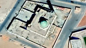
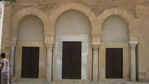
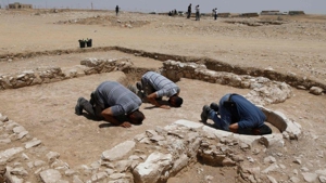
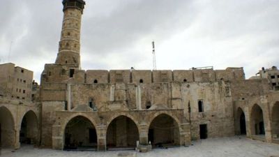
The Shisr site is now a World Heritage site, with fences, gates, guards, entrance charges, and a nice paved road into the village from the east.
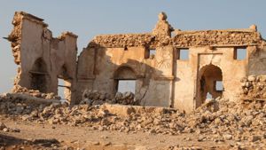
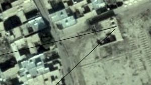
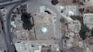
There was only one building at Shisr, a small tower with a small room.
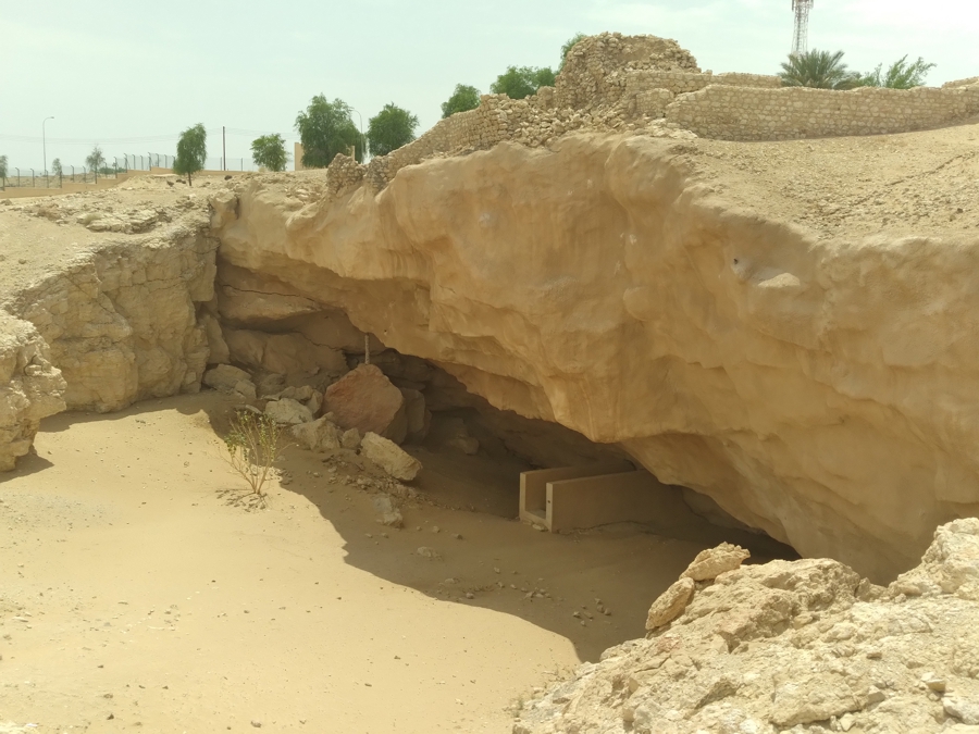
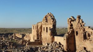
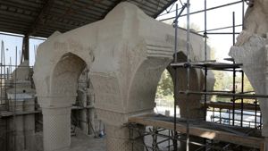
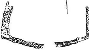
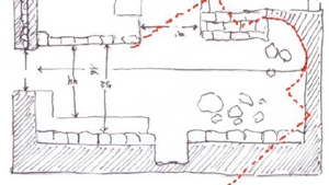
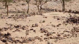
Notice the wall goes right over the sink hole. There is evidence that the walls were built after the sink hole created a watering place.
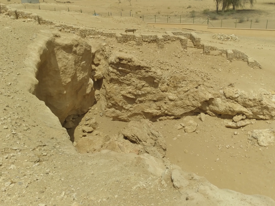
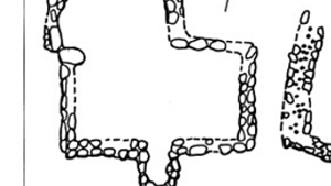
Notice how the walls were constructed with buttresses to keep them from falling into the hole.
On the right you can see how the walls were constructed to guard the watering place at the bottom of the sink hole.
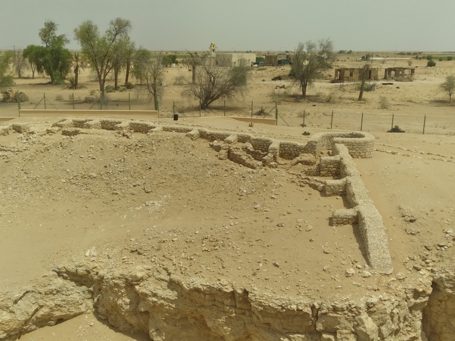
Again the walls and corner towers were neither tall nor did they house other structures.
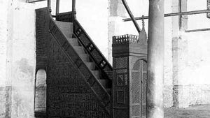
There was a slope down to the water source, so that camels and other animals could walk down to the water. Over time the water table dropped, and a well (with stairs) was dug at the bottom of the sink-hole. Eventually it was abandoned as a water source.


Page Discussion
Membership is required to comment. Membership is free of charge and available to everyone over the age of 16. Just click SignUp, or make a comment below. You will need a user name and a password. The system will automatically send a code to your email address. It should arrive in a few minutes. Enter the code, and you are finished.
Members who post adverts or use inappropriate language or make disrespectful comments will have their membership removed and be barred from the site. By becoming a member you agree to our Terms of Use and our Privacy, Cookies & Ad Policies. Remember that we will never, under any circumstances, sell or give your email address or private information to anyone unless required by law. Please keep your comments on topic. Thanks!