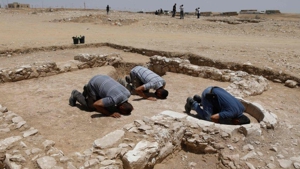
The ancient city of Sobota was known by various names. In Greek it was known as Subeita, the Arabs called is Isbeita, and in Hebrew it is known as Shivta.
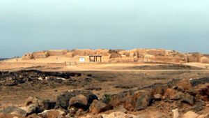
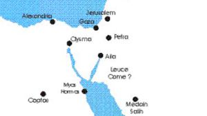
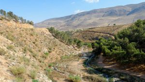
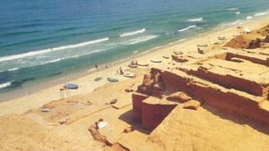
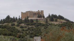
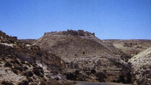
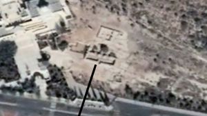
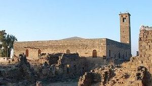
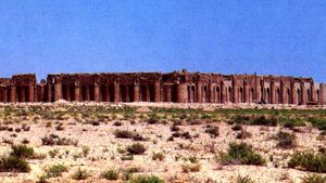
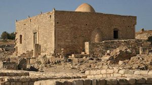
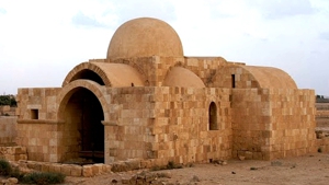
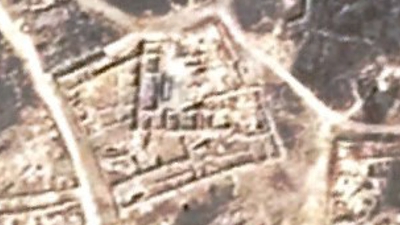
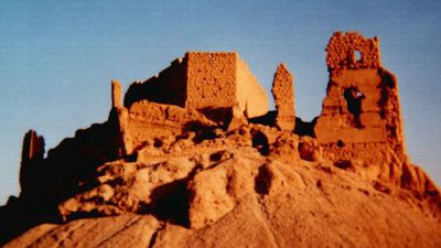
Sobota is located around 40 km. southwest of Beersheba in an area with very low humidity. Some of the buildings now standing date from the Roman period, but most were built in Byzantine times, when the inhabitants were engaged in agriculture. In the 4th century AD two churches were built, which are now known as the northern and the southern churches. Later in the 5th & 6th centuries, when the city expanded, a central church was added. Sobota appears to have been abandoned at some point during the Islamic period, probably during the 9th or 10th century.
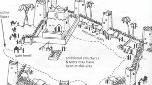
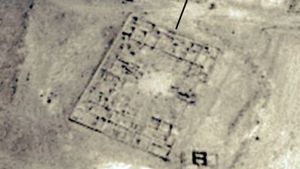
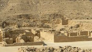
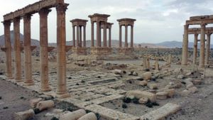
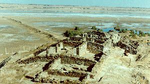
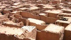
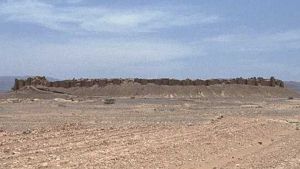
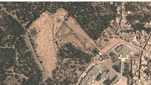
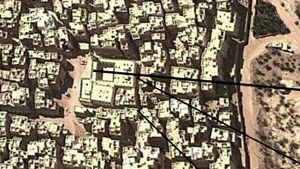
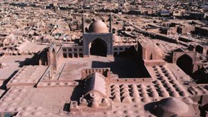
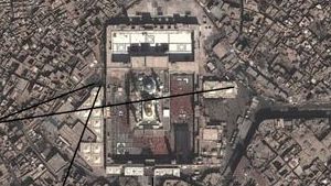
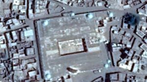
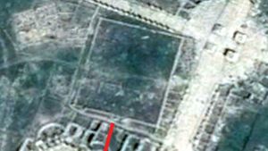
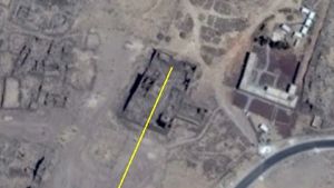
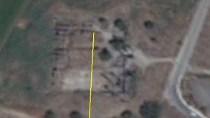
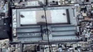
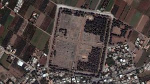
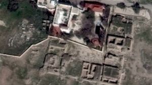
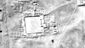
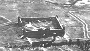
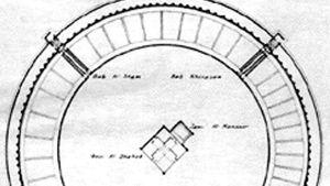
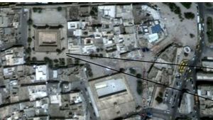
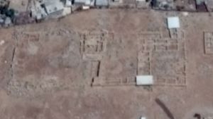
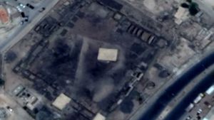
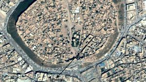
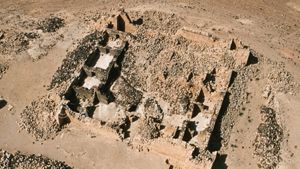
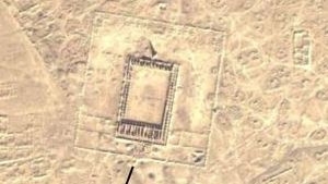
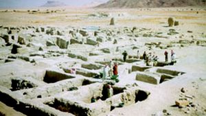
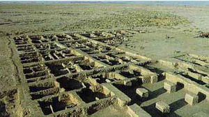
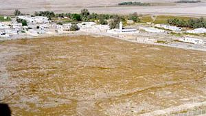
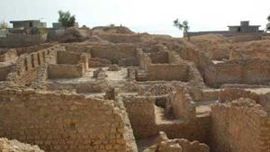
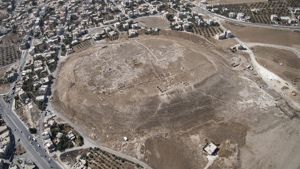
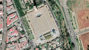
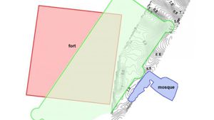
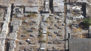
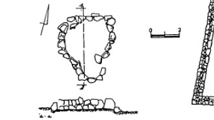
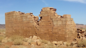
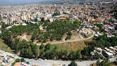
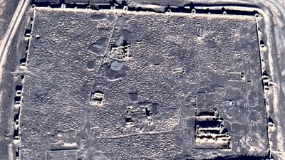
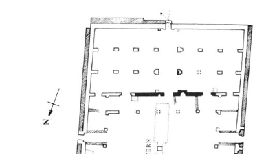
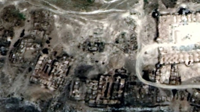
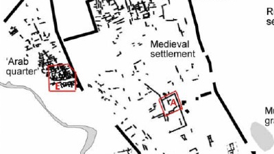
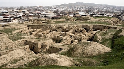
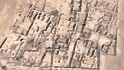
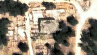
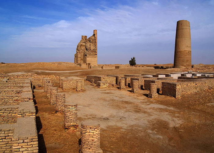
The city of Sobota covers approximately 81,000 square meters and did not have a city wall. The outer ring of houses all faced in, forming a protective wall around the city.
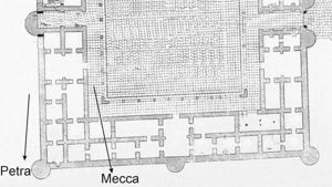
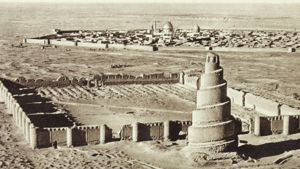
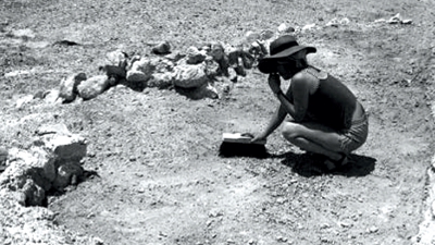
Shortly before World War I, two archeologists arrived at Sobota to map out the city plan. They were T. E. Lawrence (Lawrence of Arabia) and C. L. Woolley. The war, and Lawrence’s subsequent military fame all but obscured his archeological work.
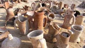
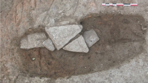
Although Sobota was one of the largest Nabataean settlements in the Negev, it’s name was uncertain until the discover of the papyri in Nessana during excavations there between 1935 and 1937. Former documents dealing with military matters did not mention Sobota and therefore it had no military significance, as it did not have any defenses and was probably not classified as a city. The papyri however mentioned donations to the monastery, dedicated to St. Sergius, with complaints that the taxes were too high under the Islamic regime.
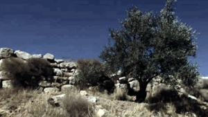
An inscription from an older building stone, later used in the construction of a church mentions King Aretas IV. This mans that the city must have been founded during the Nabataean era. Another inscription found outside the city mentions the god Dushrat, and Nabataean pottery has been found south of the settlement.
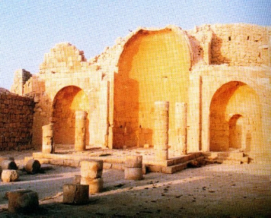
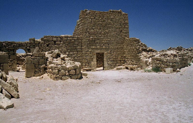
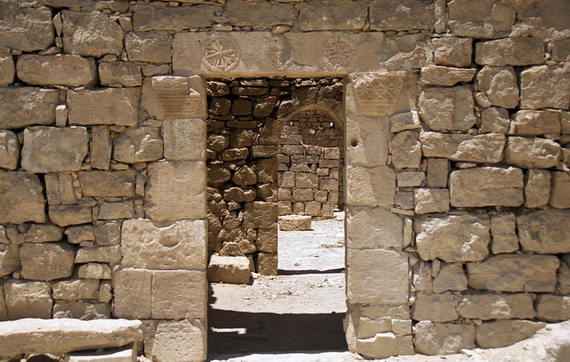
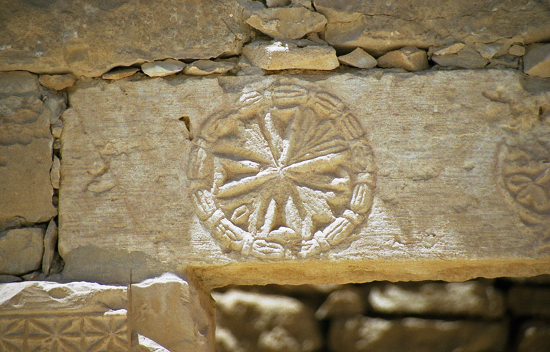
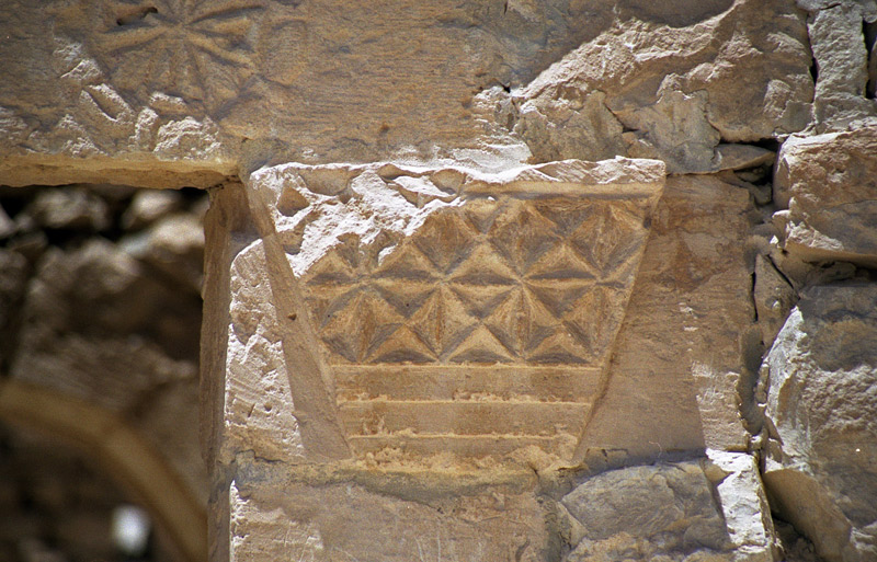
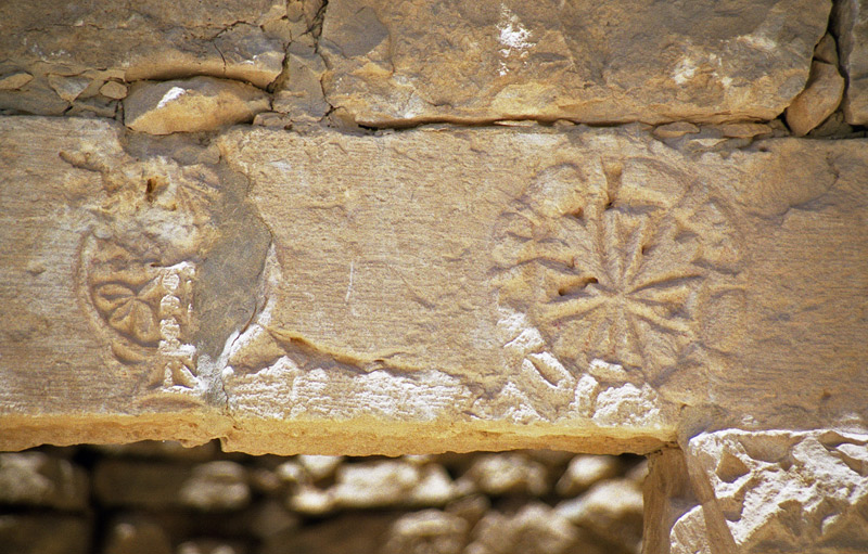
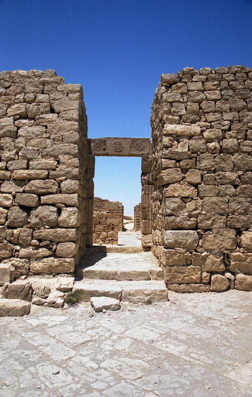
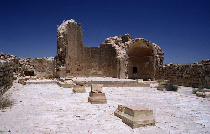
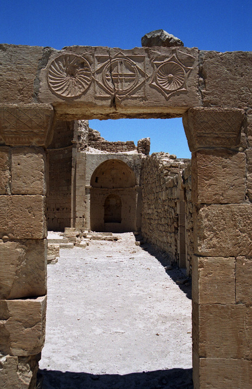
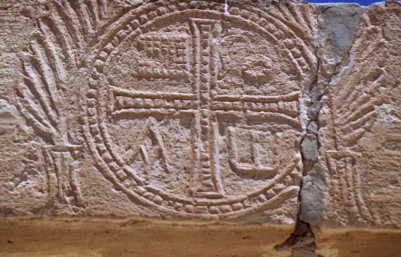
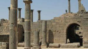
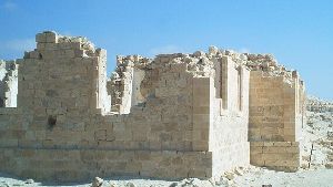
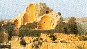
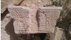
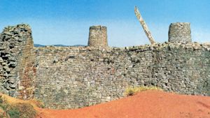
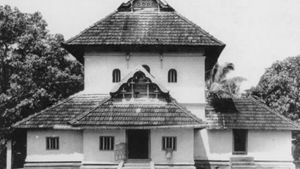
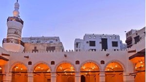
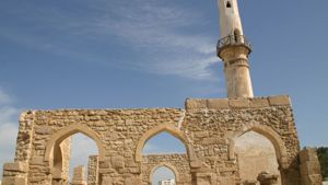
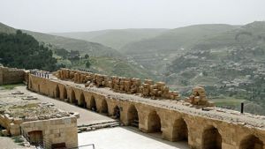
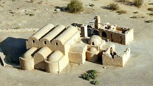
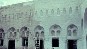
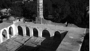
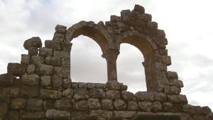
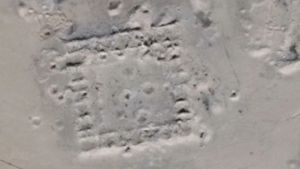
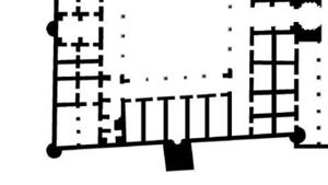
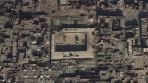
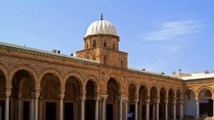
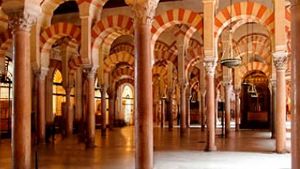
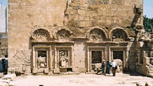
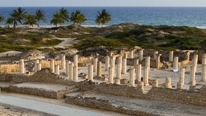
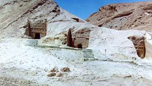
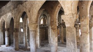
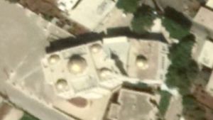
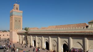
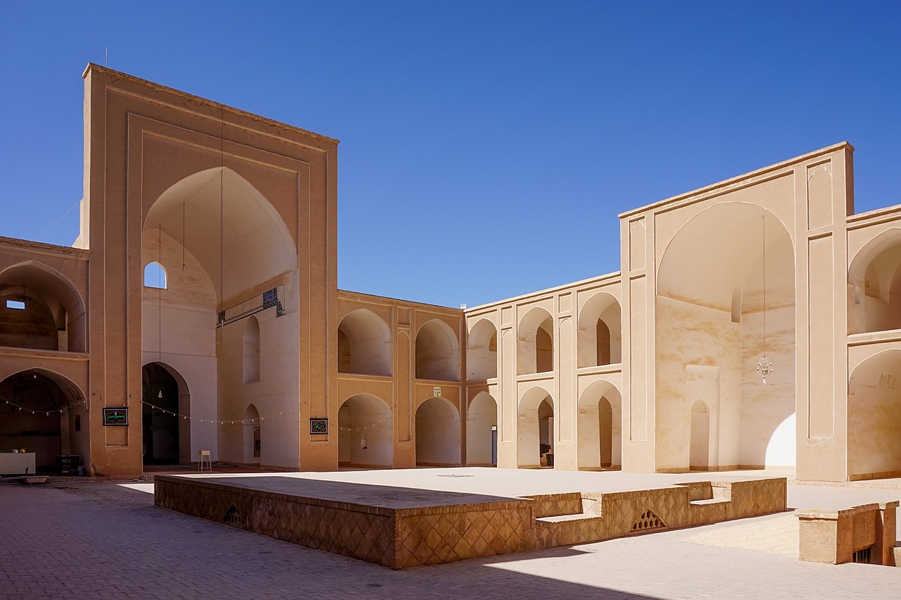
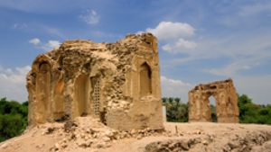
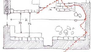
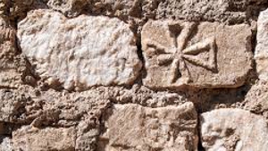
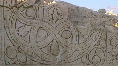
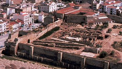
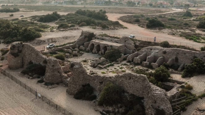
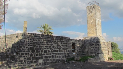
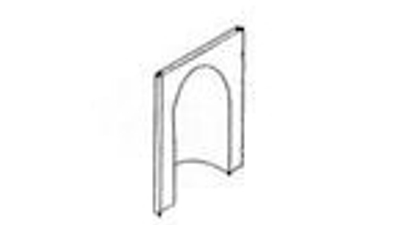
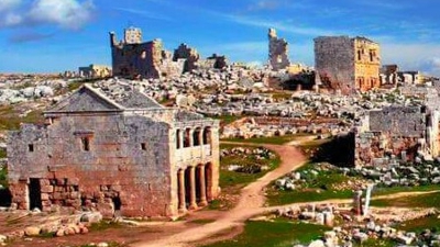
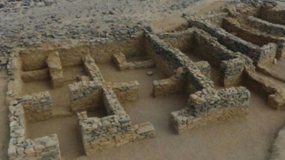
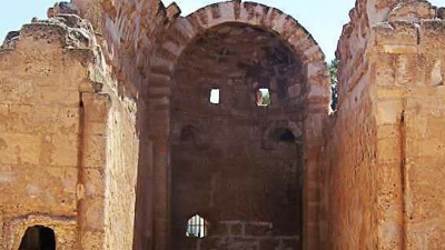
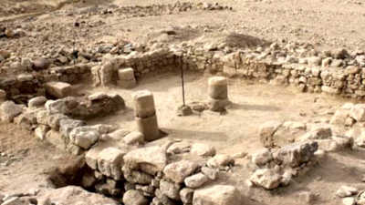
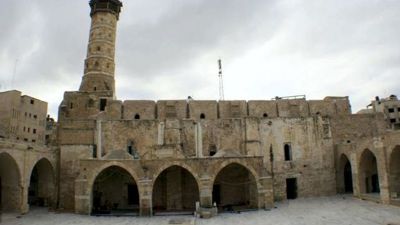
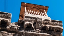
The Southern Church Just east of the central water reservoir is the entrance to the atrium of the Southern Church. This church is the earliest of the Christian religious buildings in the Negev and faces the direction of the rising sun (east).Because of lack of space it had only one apse, with a room on either side of it. In the 6th century, these rooms were turned into two small side apses with wall paintings, surviving fragments of which depict Moses and Elijah and the Transfiguration of Christ. (T. Wiegand, 1920) During a later phase, several rooms were added north of the basilica, including chapels and a large baptistery with a stone cruciform baptismal font and a smaller, rock-cut font for infant baptism. An inscription on a lintel attests to the building of these annexes at the beginning of the 5th century, and one incorporated into the floor the year 640.
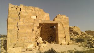
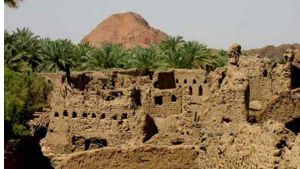
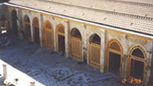
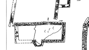
The Governor’s House and the Middle Church A road with steps led north from the southern church. Along the road ran stone channels and pipes which took collected water to the central cisterns. Along this road the buildings were built right beside each other, so that rain water from their roofs could be collected. Water was piped to private reservoirs, and also to large communal reservoirs. These private buildings had no courtyards or gardens. Along the road there is a square, with a large building named the Governor’s house by an expedition headed by Dr. Colt, an American in the 1930s. It is one of the few buildings with the second story still intact.
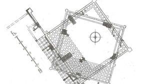
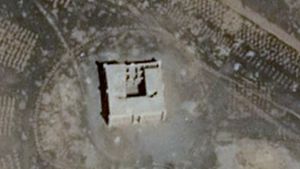
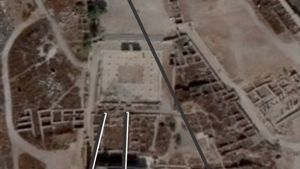
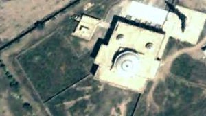
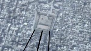
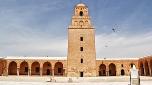
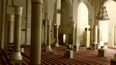
The Central Church was built in the center of the new (5th-6th century) residential quarter in the northern part of Sobota. It has a small, narrow atrium entrance to the basilica. Along its length run two rows of four columns and on its eastern side were three apses.
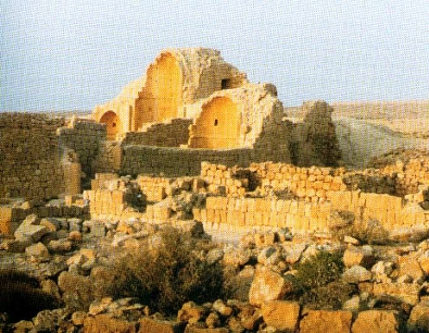
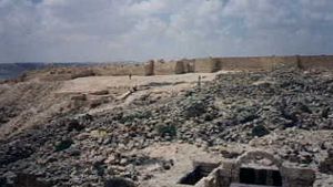
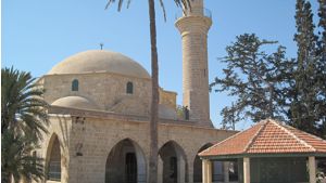
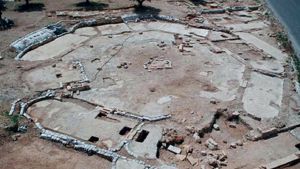
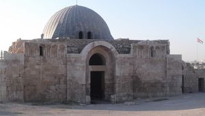
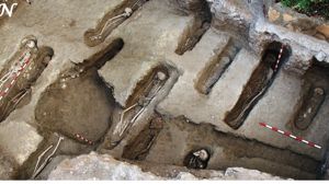
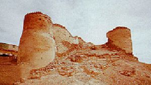
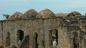
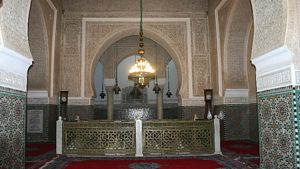
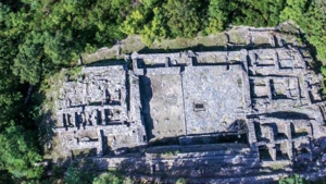
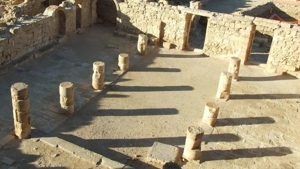
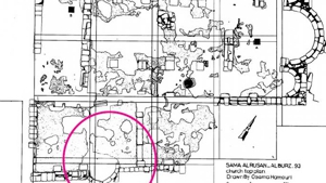
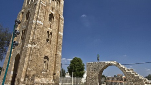
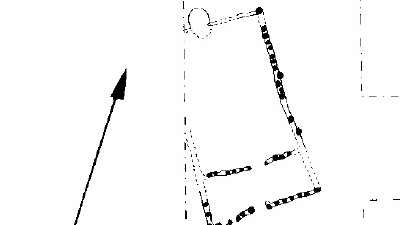
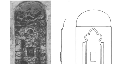
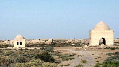
The Northern Church The Northern Church was part of a large monastery, which consisted of over forty rooms connected by a system of courtyards. The entrance to the church was through a particularly large atrium (21 x 15 m.), which had an opening into a rock-cut cistern beneath it. A chapel was constructed south of the basilica, with an apse in its eastern side. The floor was paved with mosaics in geometrical patterns and contains an inscription attesting to its construction in the time of Bishop Thomas in the fifth year of his induction (517). The baptistery, with a large stone-cut baptismal font, lies south of the chapel. This area was also used as a cemetery, and contains several gravestones with the names of monks and priests, dating between 612 and 679.
The End At the start of the sixth century AD and earthquake damaged much of Sobota. After this time a number of people were buried within the churches, with Greek inscriptions dating them from the years 595 to 679 AD.
Bibliography
Gibson, Dan, The Nabataeans, Builders of Petra, CanBooks, Saskatchewan, Canada 2002
Gibson, Dan, The Nabataean Collection, CanBooks, Saskatchewan, Canada, 2003
Glueck, Nelson, Rivers in the Desert, A history of the Negev, The Norton Library, W. W. Norton & Company Inc, New York, 1959, 1968
Levy, Udi, The Lost Civilization of Petra, Bath Press Color Books, Glasgow, 1999
The first six photos below are taken from Dr. Udi Levy’s book, The Lost Civilization of Petra. (Used without permission) You can order a copy of the book from Amazon.
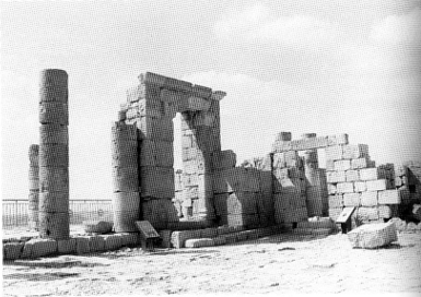
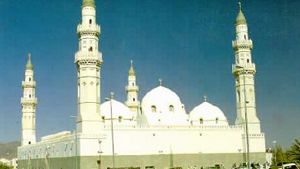
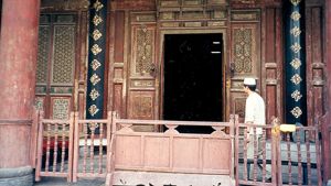
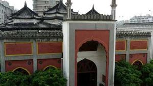
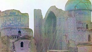
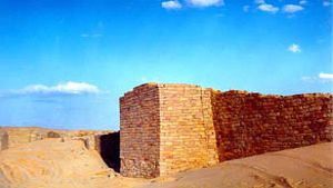
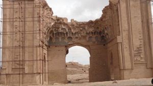
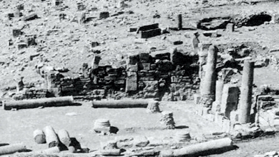
Gate to Obodas Temple
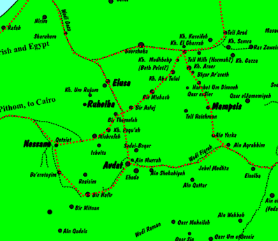
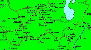
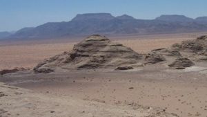
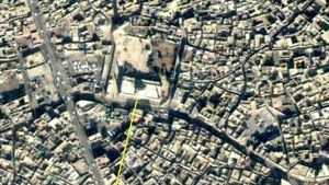
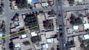
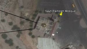
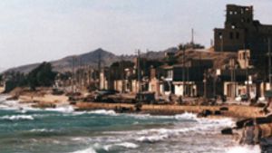
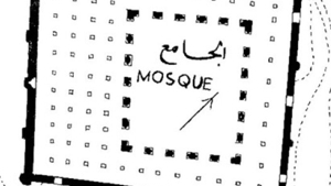
Sobota was located near Mishrefeh, between Nessana & Avdat
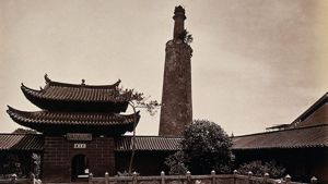
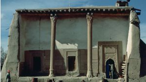
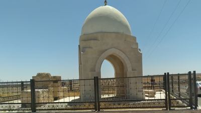
The North Church
The south church

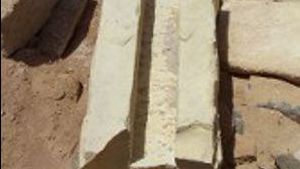
A baptismal font
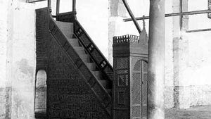
he steps to the Governor's house
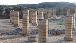
The Stables
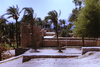
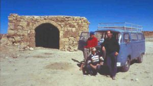
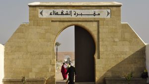
The photographs below were sent to us by Yolande van Rensburg. She writes: I visited there on 9 July 2006. I saw the name on a map and decided to go there, not knowing what to expect. However, I was pleasantly surprised. Because the site is quite some distance off the tourist trail, I was the only person there - awesome experience! It is quite an extensive site with a lot to see. The only drawback is the lack of more information on the site, i.e. a map / leaflet. So unfortunately I can’t tell you anymore about the individual structures in any of the photographs.
We wish to express our thanks to Yolande for sharing these photos with us. (Webmaster)
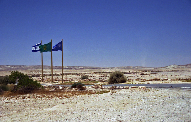
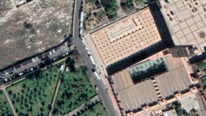
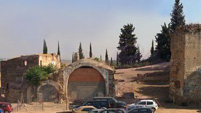
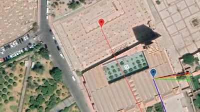
The parking lot entrance.
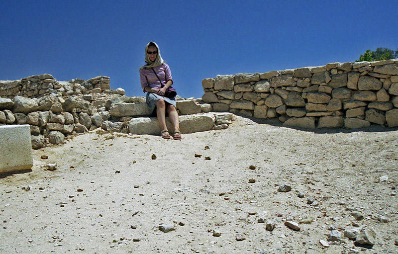
Yolande van Rensburg
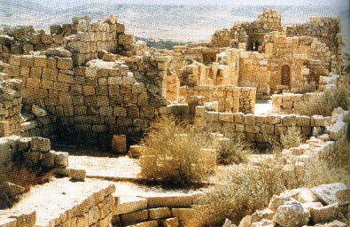
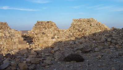
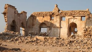
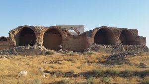
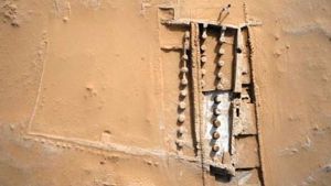
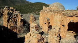
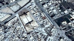
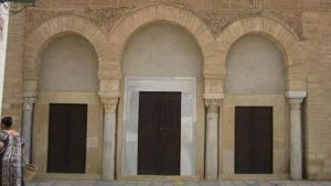
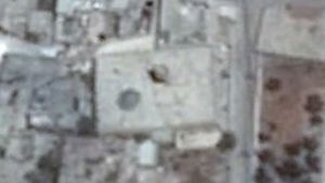
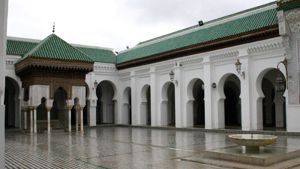
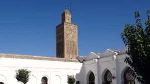
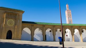
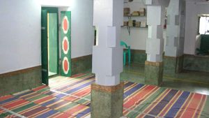
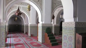
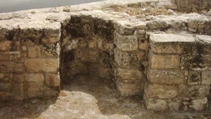
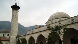
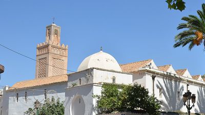
The South Church
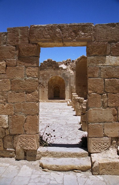
The South Church

The South Church

The South Church
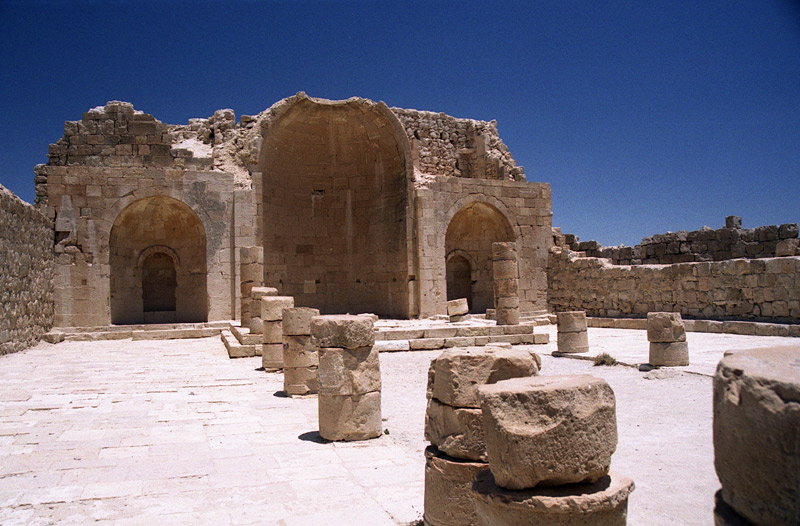
South Church
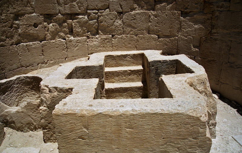
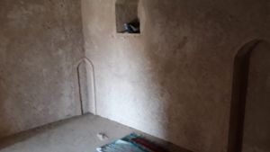
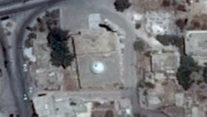
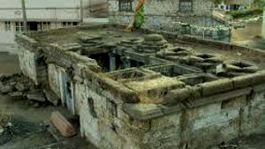
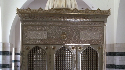
South Church Baptismal
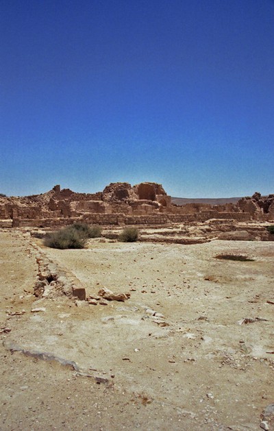
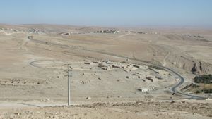
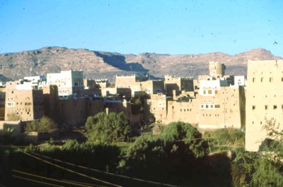
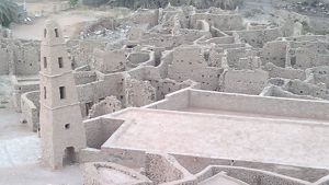
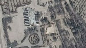
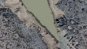
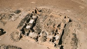
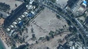
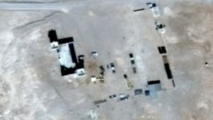
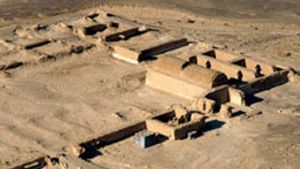
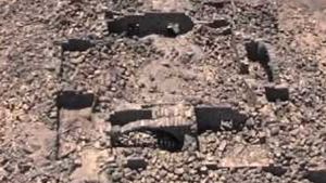
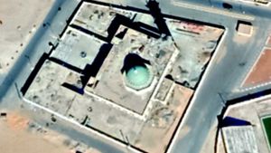
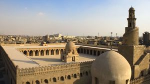
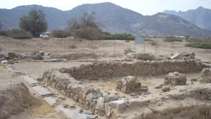
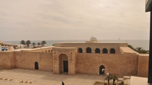
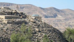
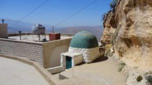
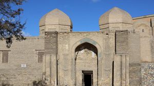
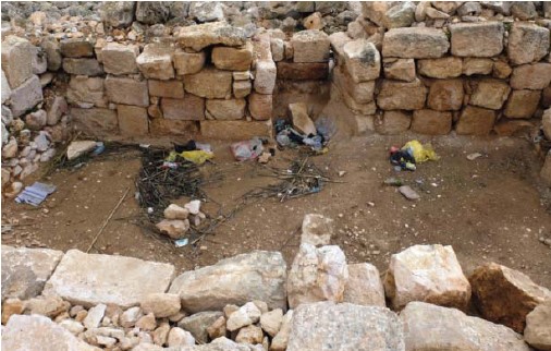
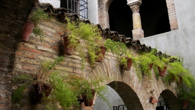
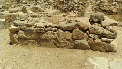
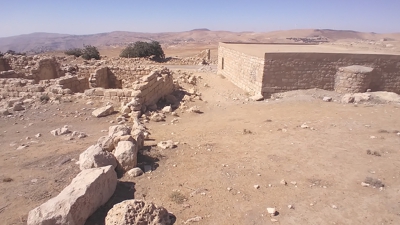
The City
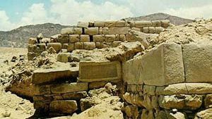
undefined
undefined
undefined
undefined
undefined
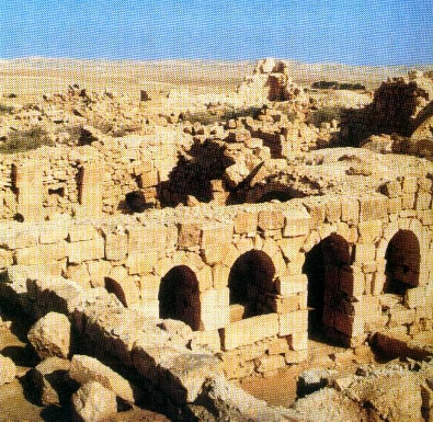
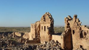
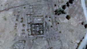
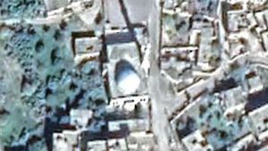
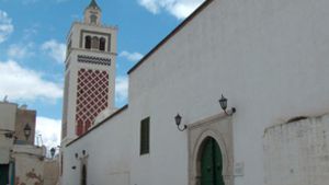
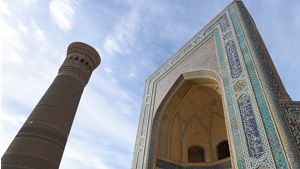
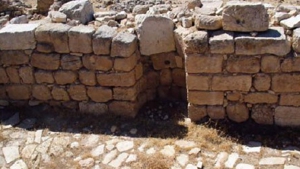
North Church
North Church
North Church


Page Discussion
Membership is required to comment. Membership is free of charge and available to everyone over the age of 16. Just click SignUp, or make a comment below. You will need a user name and a password. The system will automatically send a code to your email address. It should arrive in a few minutes. Enter the code, and you are finished.
Members who post adverts or use inappropriate language or make disrespectful comments will have their membership removed and be barred from the site. By becoming a member you agree to our Terms of Use and our Privacy, Cookies & Ad Policies. Remember that we will never, under any circumstances, sell or give your email address or private information to anyone unless required by law. Please keep your comments on topic. Thanks!