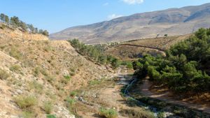
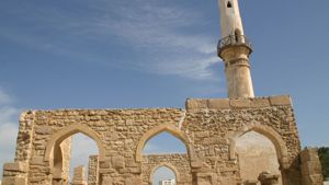
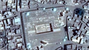
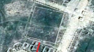
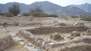
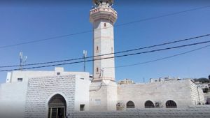
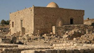
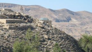
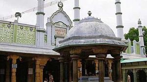
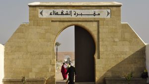
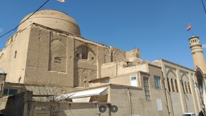
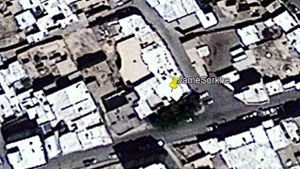
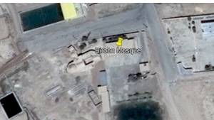
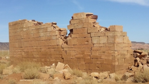
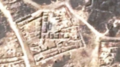
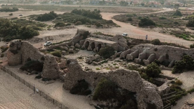
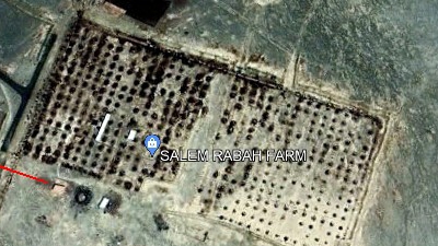
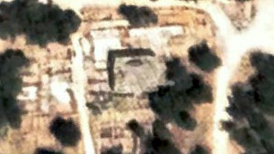
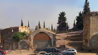
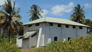
Mosque Name: Sede Boker Mosque
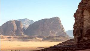
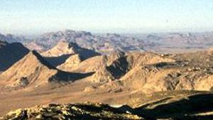
Country: Negev
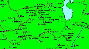
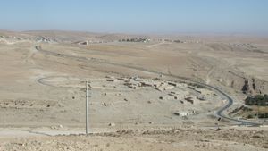
City: Rural, Negev Highlands
Year of construction (AD): 700-799
GPS: 30.881611 34.790761
Gibson Classification: Between
Rebuilt facing Mecca: never
Description:
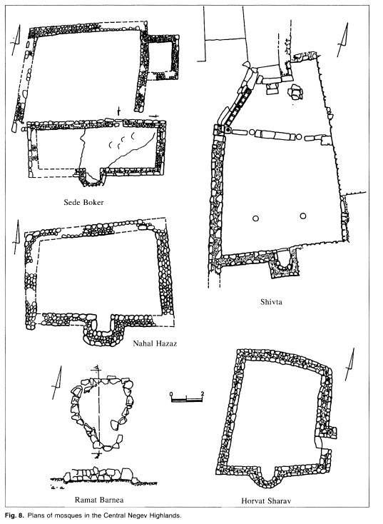
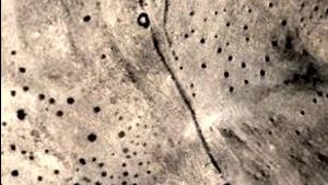
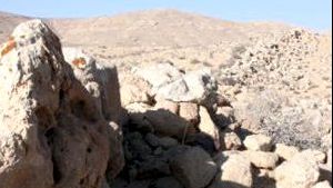
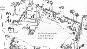
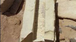
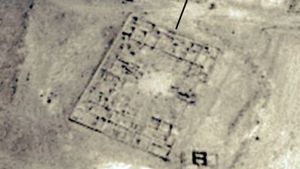
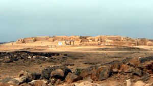
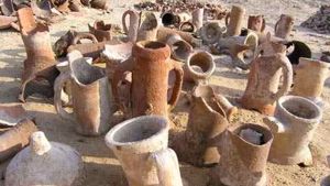
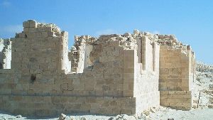
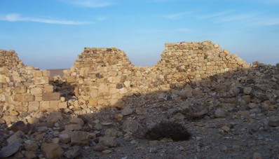
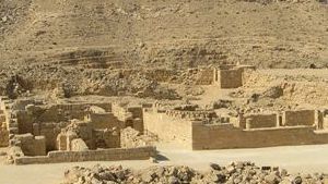
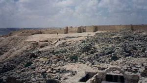
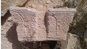
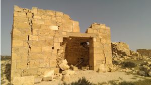
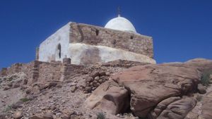
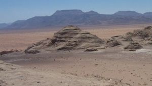
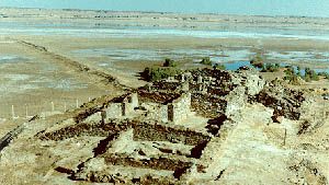
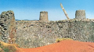
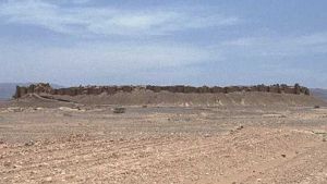
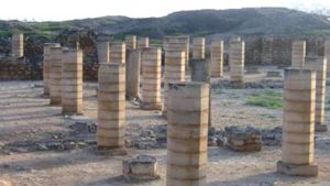
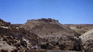
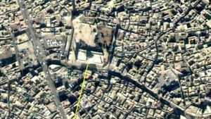
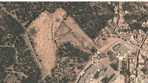
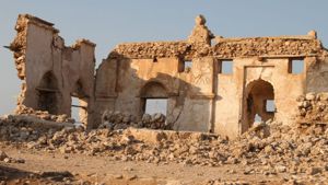
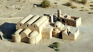
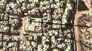
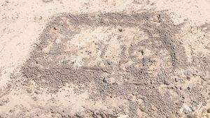
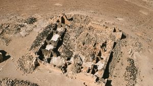
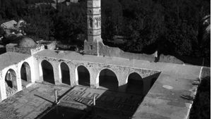
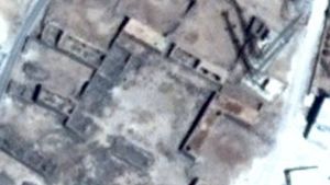
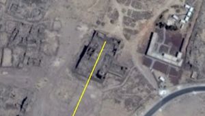
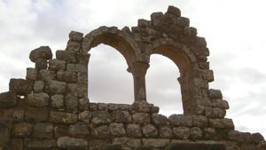
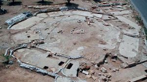
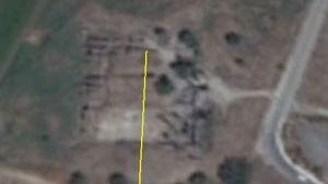
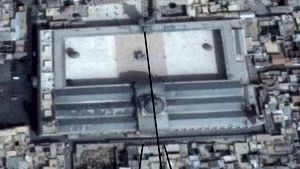
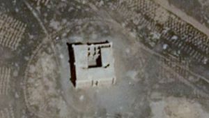
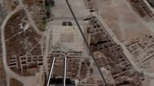
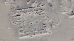
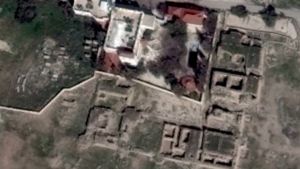
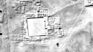
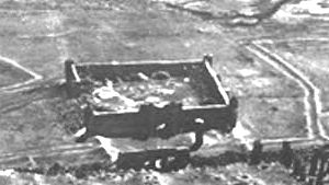
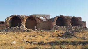
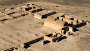
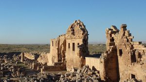
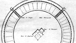
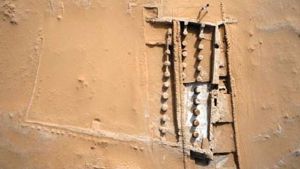
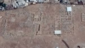
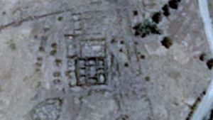
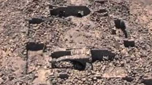
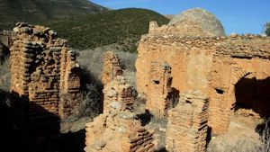
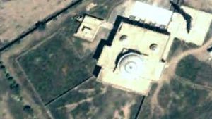
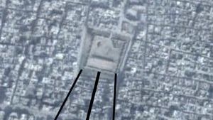
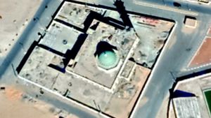
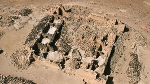
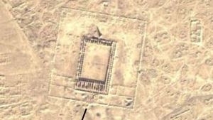
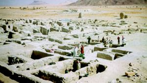
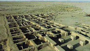
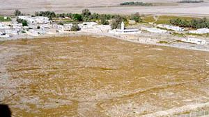
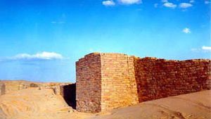
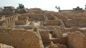
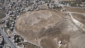
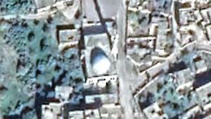
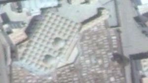
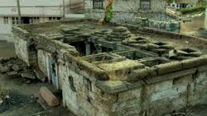
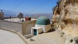
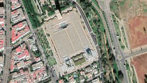
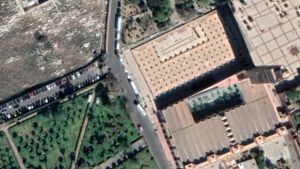
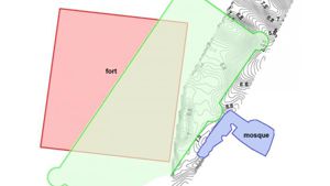
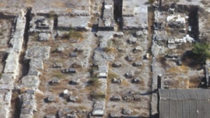
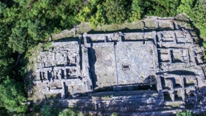
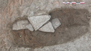
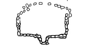
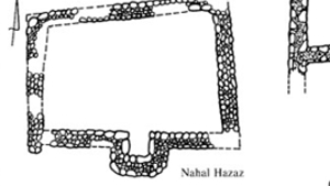
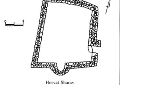
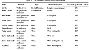
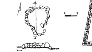
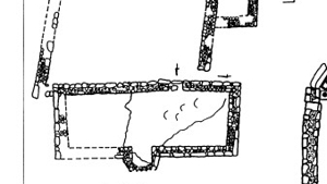
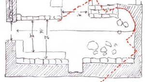
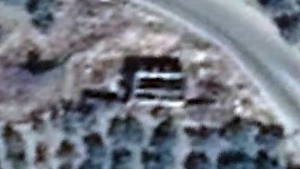
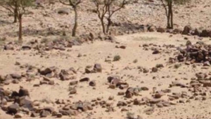
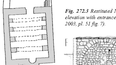
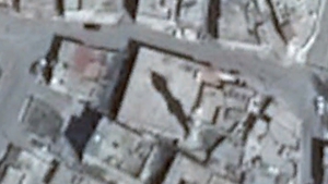
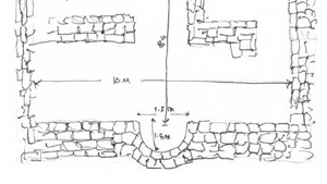
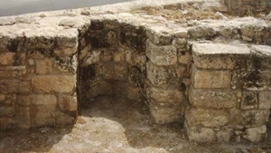
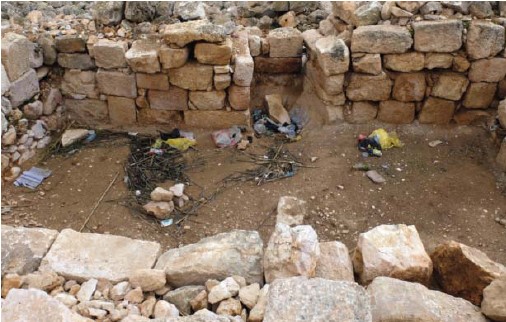
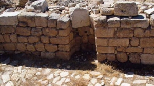
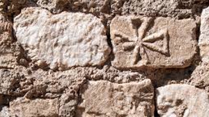
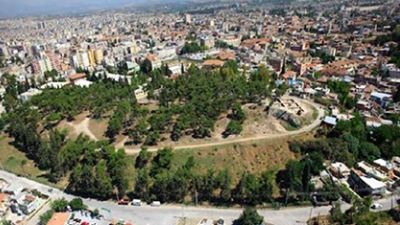
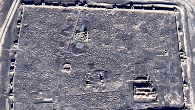
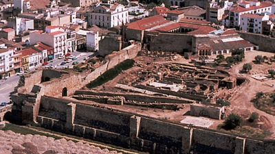
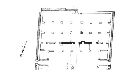
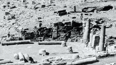
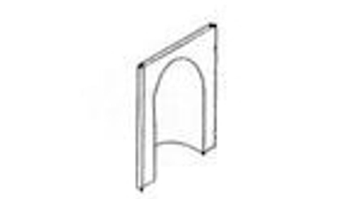
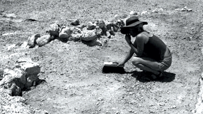
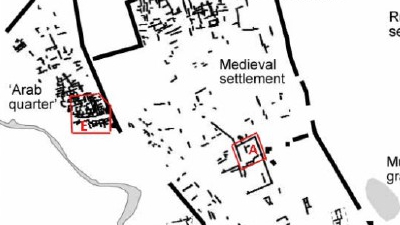
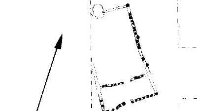
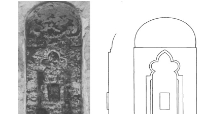
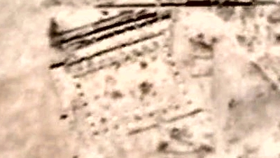
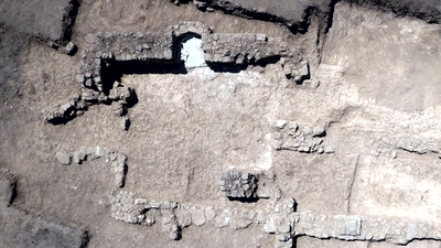
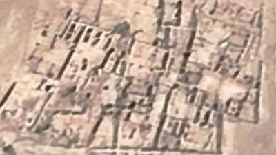
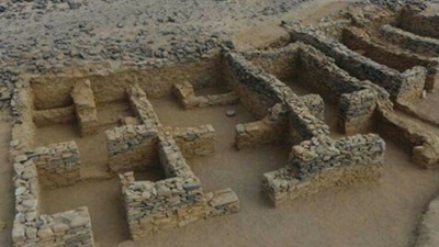
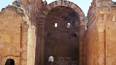
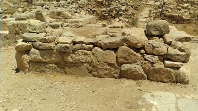
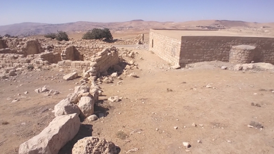
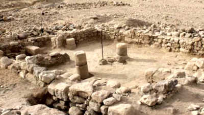
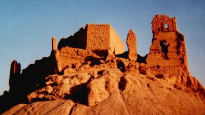
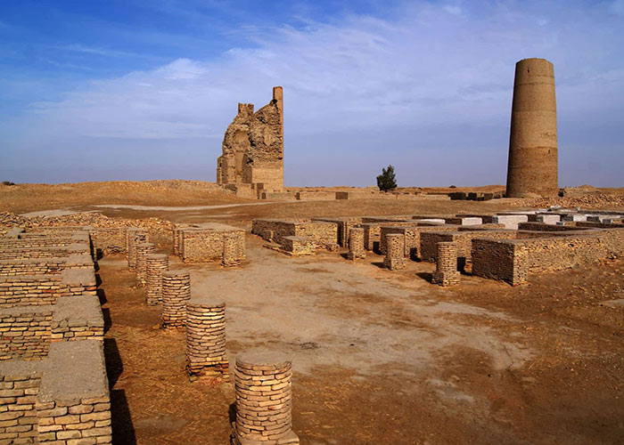
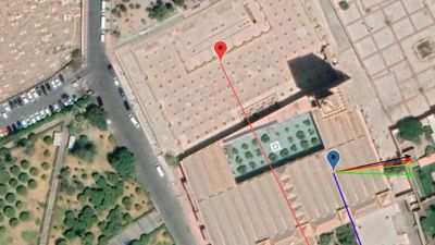
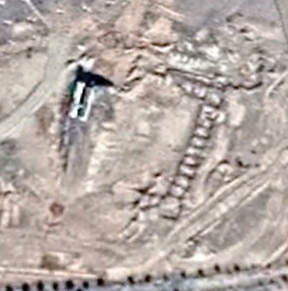
Sede Boker. During the archaeological surveys conducted in the Central Negev Highlands in the 1960s (Cohen 1981; 1985), an open-type mosque was discovered on a hilltop west of Sede Boker Cohen 1985: 65-67). The structure consists of a rectangular room (5 x 12 m) with a curved mihrab niche in the middle of its southern wall, and a small, square room leading into a courtyard (9 x 10 m). The walls, preserved to a height of 0.6 to 0.8 m, are built of two rows of dressed stones with a filling of gravel. From the minimal rubble, it seems that the original height of the walls was 0.8 to 1 m, and that the building lacked a roof. Several hundred Arabic inscriptions were unearthed in the vicinity of the mosque (Nevo 1985: 3-4; Sharon 1981; 1985); some predated its construction (Nevo 1985: 4; Sharon 1990: 9-10). A settlement discovered near the mosque contains the remnants of dozens of structures scattered over an area of 0.5 km2 (Cohen 1981: 50-52, 67- 70; 1985: 63-65).4 Systematic excavations carried out by Nevo during the past years have exposed several dozens of structures; according to Nevo’s interpretation all of them were cult sites. The mosque was built several decades later, obliterating some of the inscriptions. Nevo suggests that Sede Boker was a ritual center for the nomads who inhabited the area during the seventh and eighth centuries C.E. (Nevo and Koren 1990: 26), and that evidence is offered here of a transitional stage between pre-Islamic religion and the emergence of Islam (Nevo 1985: 12-21).
The site was dated by a coine fron 775-785, and an inscription 781, Byzantineware, etc. The concluded date for this mosque was 781.
For a Link to the Qibla Tool Click Here
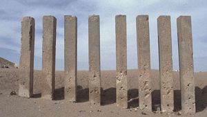
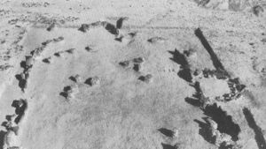
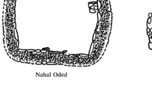
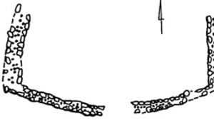
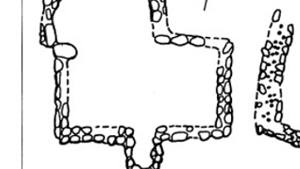
Five mosques, Negev Highlands
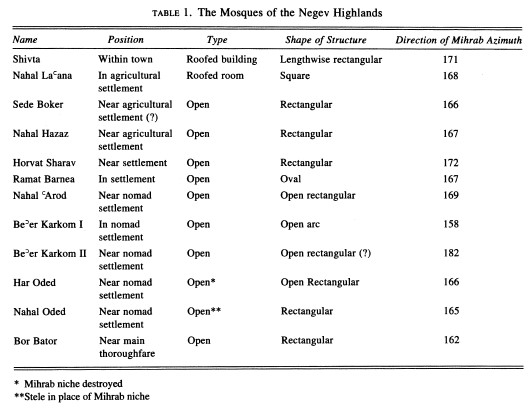
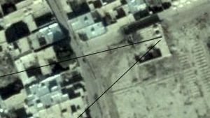
Chart showing mihrab directions in the Negev
References:
Cohen, Rudolf, 1985. Archaeological Survey of Israel, Map of Sde Boqer – West (167), Jerusalem: Department of Antiquities and Museums, 22*, 65-66. http://survey.antiquities.org.il/index.html#/MapSurvey/66/site/13324
Sharon, Moshe, 1985. “Appendix: Arabic Inscriptions from Sede-Boqer - Map 167”, in: Rudolph Cohen, Archaeological Survey of Israel, Map of Sde Boqer – West (167), Jerusalem: Department of Antiquities and Museums, 31-35, 94-106
Magness, Jodi, 2003. The Archaeology of the Early Islamic Settlement in Palestine, Winona Lake: Eisenbrauns, 138-139. https://archive.org/details/TheArchaeologyof_612
Avni, Gideon, 1994. “Early Mosques in the Negev Highlands: New Archaeological Evidence on Islamic Penetration of Southern Palestine”, Bulletin of the American Schools of Oriental Research 294: 83-100. https://www.journals.uchicago.edu/doi/10.2307⁄1357155


Page Discussion
Membership is required to comment. Membership is free of charge and available to everyone over the age of 16. Just click SignUp, or make a comment below. You will need a user name and a password. The system will automatically send a code to your email address. It should arrive in a few minutes. Enter the code, and you are finished.
Members who post adverts or use inappropriate language or make disrespectful comments will have their membership removed and be barred from the site. By becoming a member you agree to our Terms of Use and our Privacy, Cookies & Ad Policies. Remember that we will never, under any circumstances, sell or give your email address or private information to anyone unless required by law. Please keep your comments on topic. Thanks!