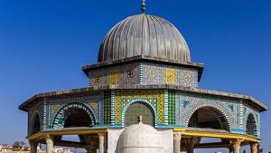
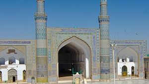
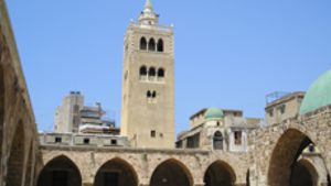
Mosque Name: Qusayr Amra and Bath-house
Country: Jordan
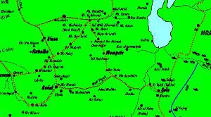
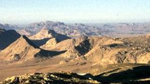
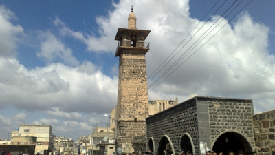
City: Desert Castle
Year of construction (AH): 126 AH
Year of construction (CE): 743 CE
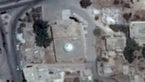
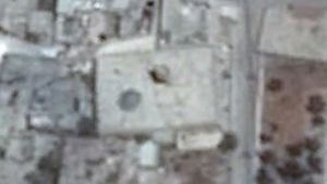
Bath House: GPS: 31°48’6.89”N 36°35’14.19”E
Qasr: GPS 31.804806 36.581528
Gibson Classification: unknown
Rebuilt facing Mecca: unknown
For a Link to the Qibla Tool Click Here
Description:
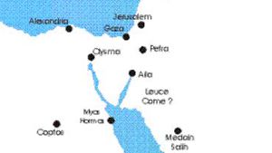
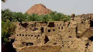
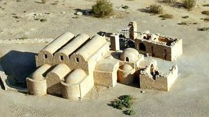
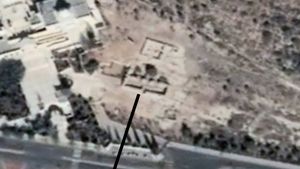
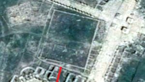
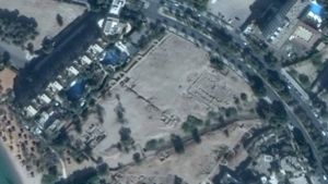
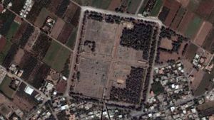
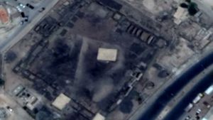
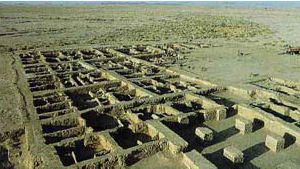
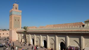
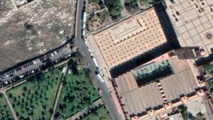
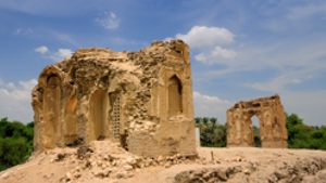
This Umayyad palace and bathhouse complex is approximately 85 kilometers east of Amman, and 16 km east of Qasr al Kharana. It is on the north side the highway, on the edge of a desert oasis and is attributed to al-Walid I (86⁄705-96⁄715) under whose rule Umayyad power reached its zenith. (al-Asad and Bisheh, 2000)
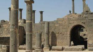
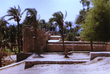
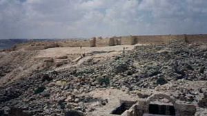
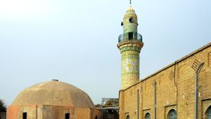
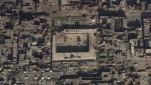
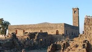
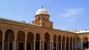
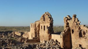
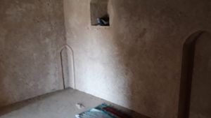
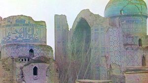
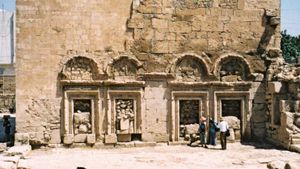
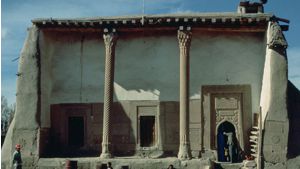
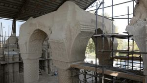
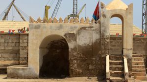
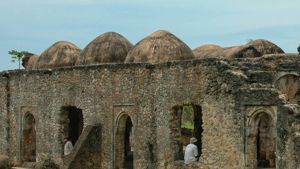
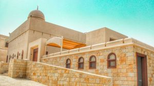
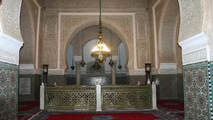
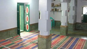
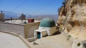
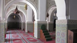
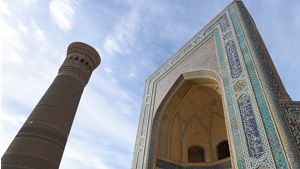
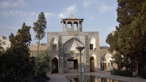
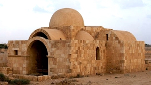
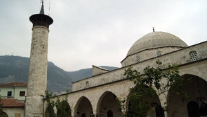
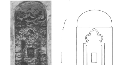
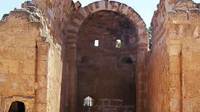
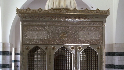
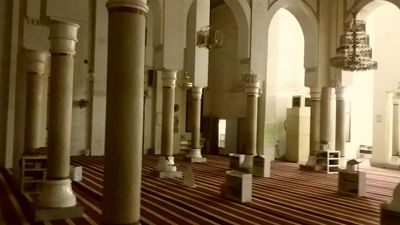
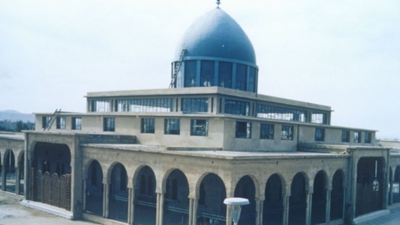
The most visited place at this site is a small bath complex which contains a small audience hall. The complex had a water wheel worked by animal power and a place to heat the water. The interior of the bathhouse contains richly painted frescoes, covering most surfaces, depicting a variety of subjects including hunting scenes, athletic activity, mythological images, and astronomical representations as well as hunting scenes with dogs, bathing scenes, dancing women, constellations and constelation signs depicted on the interior of the Caldarium dome There are a surprising number of nude or semi-nude women and marine scenes. The bath-house has two small rooms with concave niches in the south wall so perhaps they were prayer rooms. From measurements taken on the spot, the orientation of the bath house appears to be 186.7 degrees.
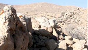
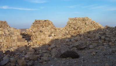
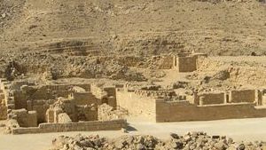
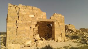
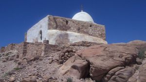
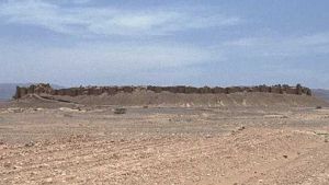
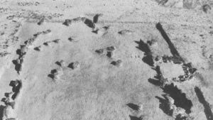
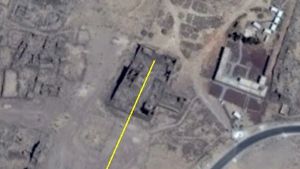
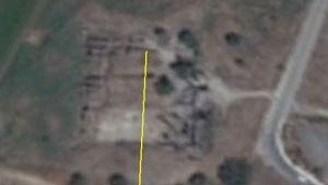
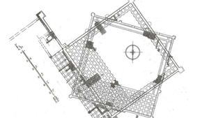
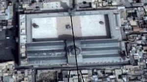
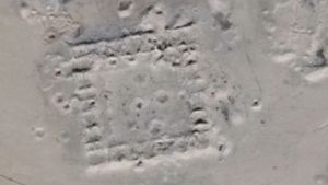
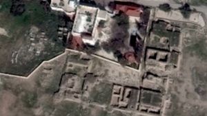
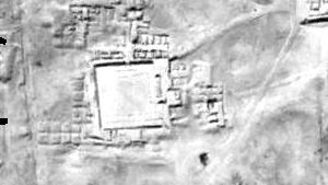
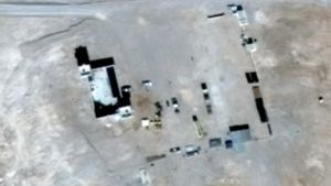
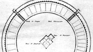
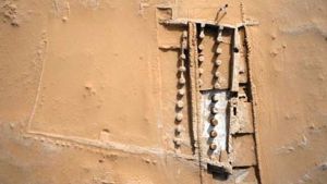
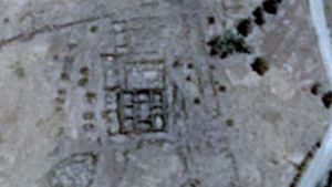
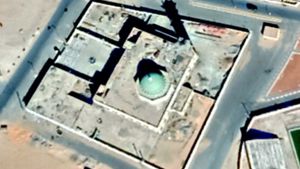
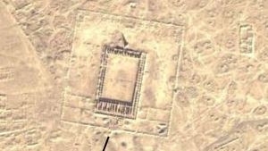
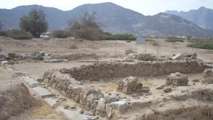
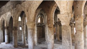
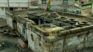
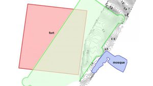
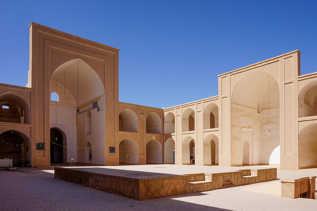
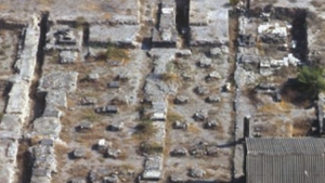
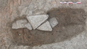
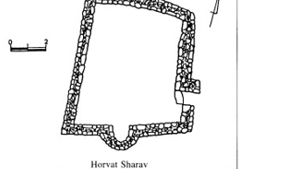
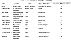
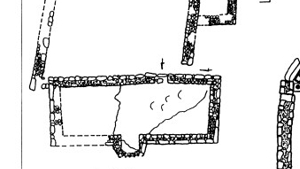
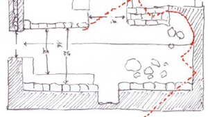
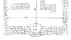
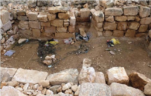
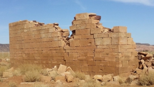
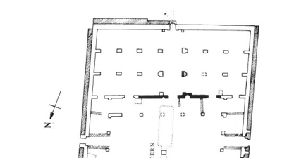
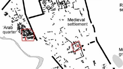
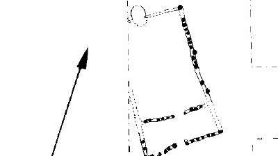
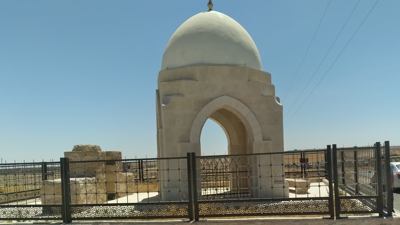
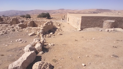
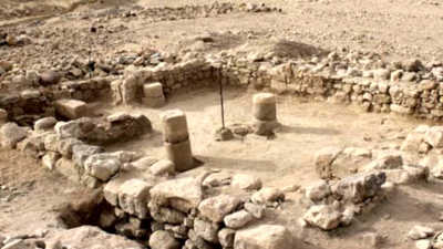
Recent excavations have brought to light an additional small Qasr to the west of the bathhouse with rooms oriented around a central courtyard, with a watchtower. The plan is rectangular, with miḥrāb in South wall projecting to the exterior. Similar constructions are attested in the environs of the residences of Qaṣr Kharāneh. This Qasr is in ruins and it is difficult to measure the orientation with any reasonable level of precision. On the ground measurements gave an orientation of about 171 degrees, which is the same as the orientation of the open air mosque.
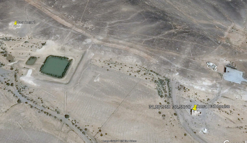
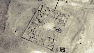
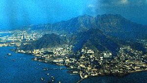
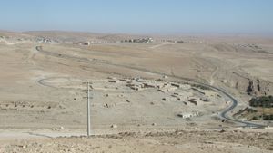
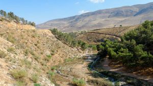
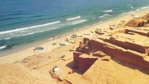
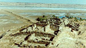
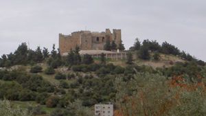
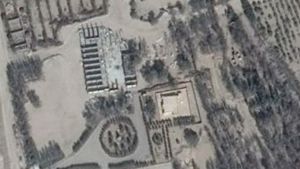
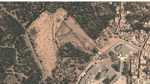
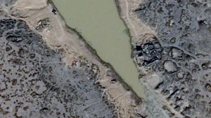
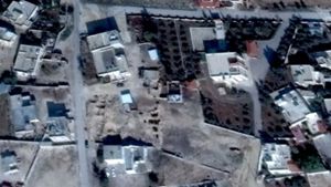
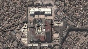
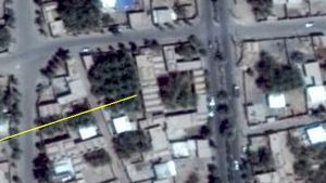
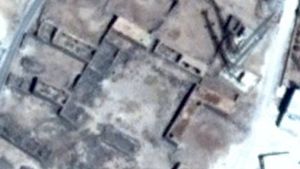
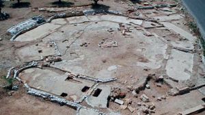
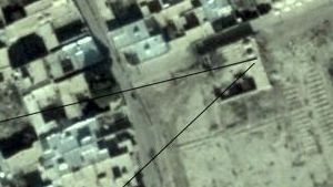
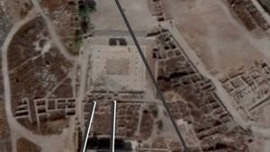
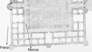
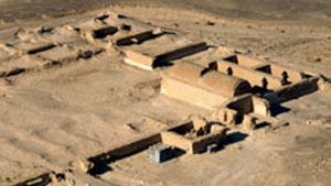
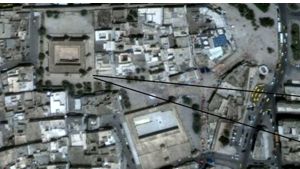
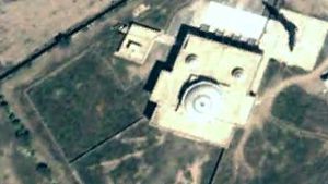
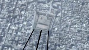
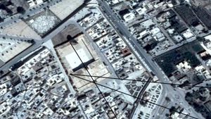
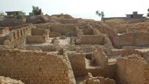
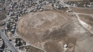
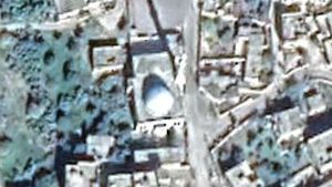
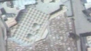
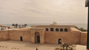
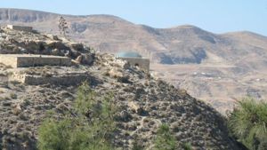
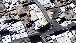
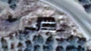
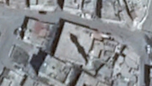
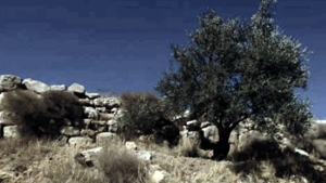
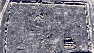
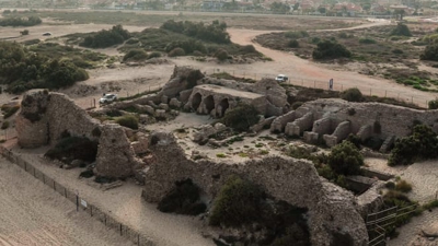
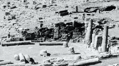
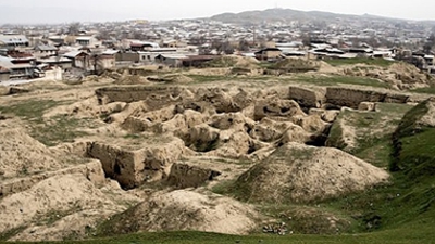
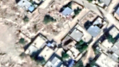
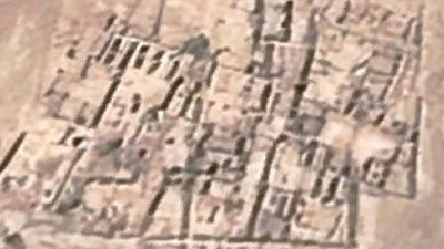
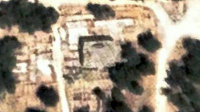
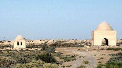
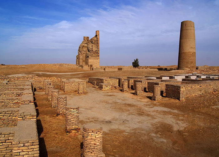
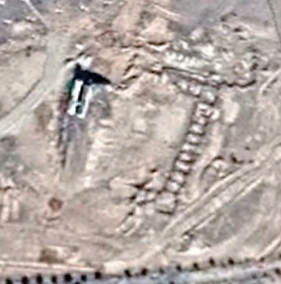
The Amra site with bathhouse (lower right), water storage, and Qasr (upper left)
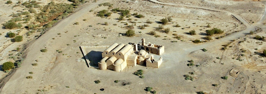
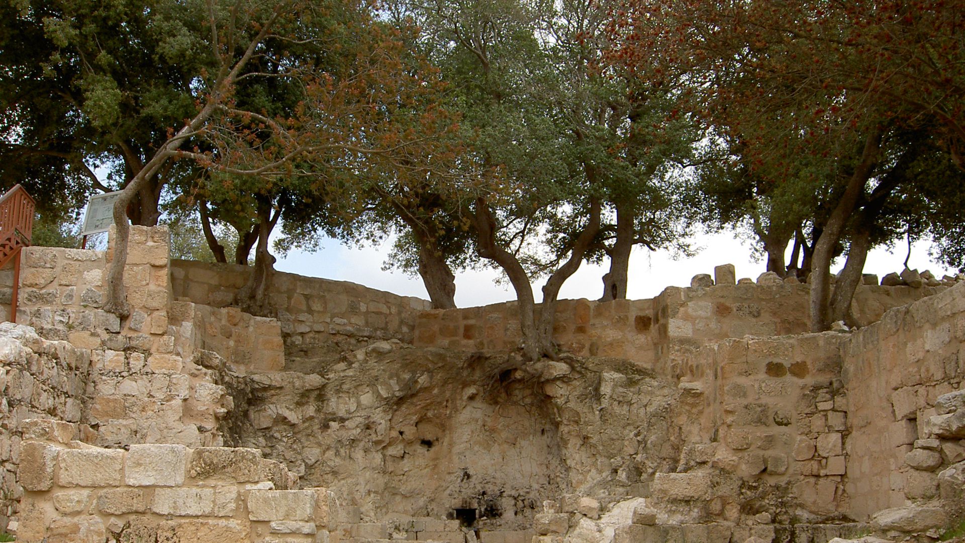
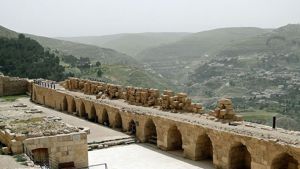
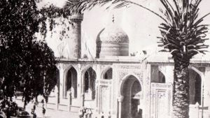
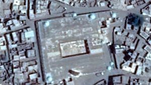
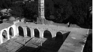
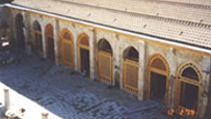
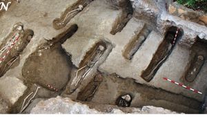
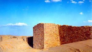
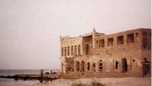
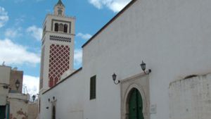
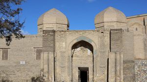
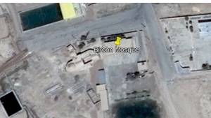
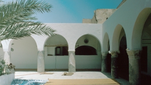
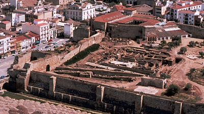
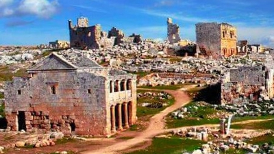
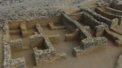
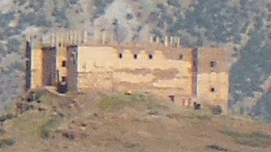
The Bathhouse Complex
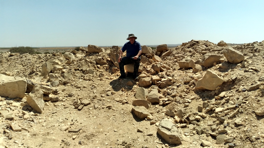
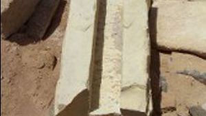
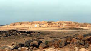
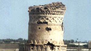
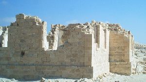
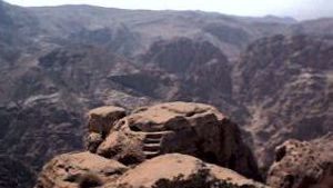
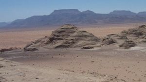
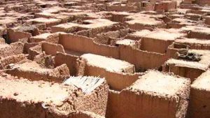
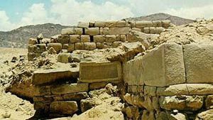
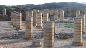
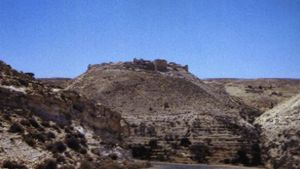
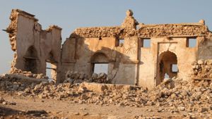
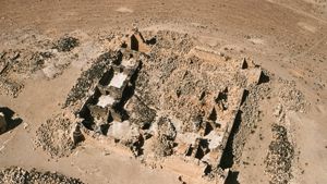
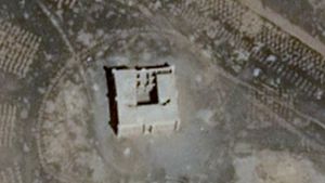
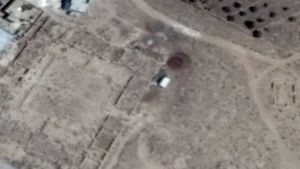
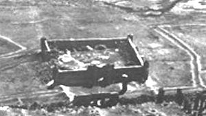
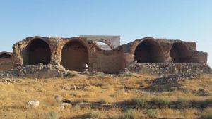
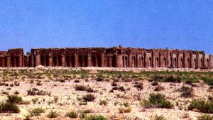
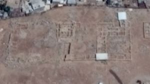
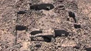
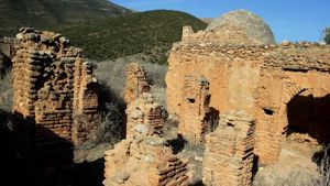
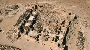
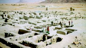
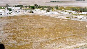
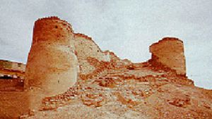
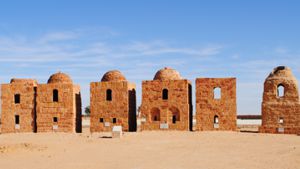
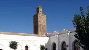
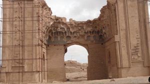
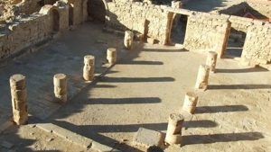
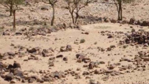
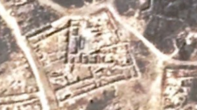
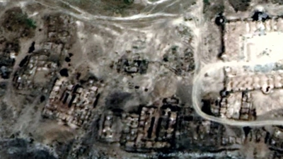
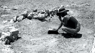
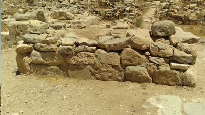
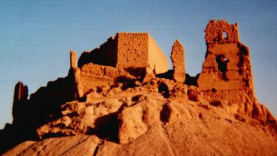
Amra Qasr has totally collapsed and disintegrated. Dan Gibson sits among the ruins.
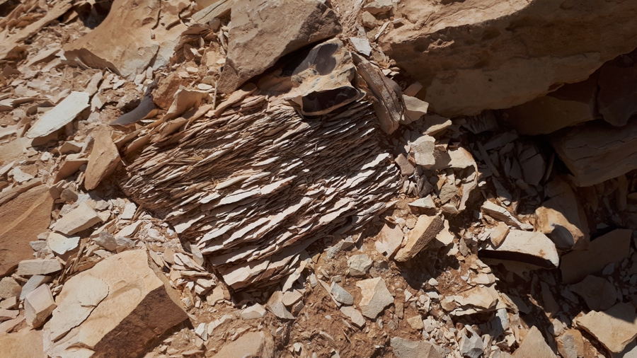
The rock used at Amra Qasr has disintegrated over time.
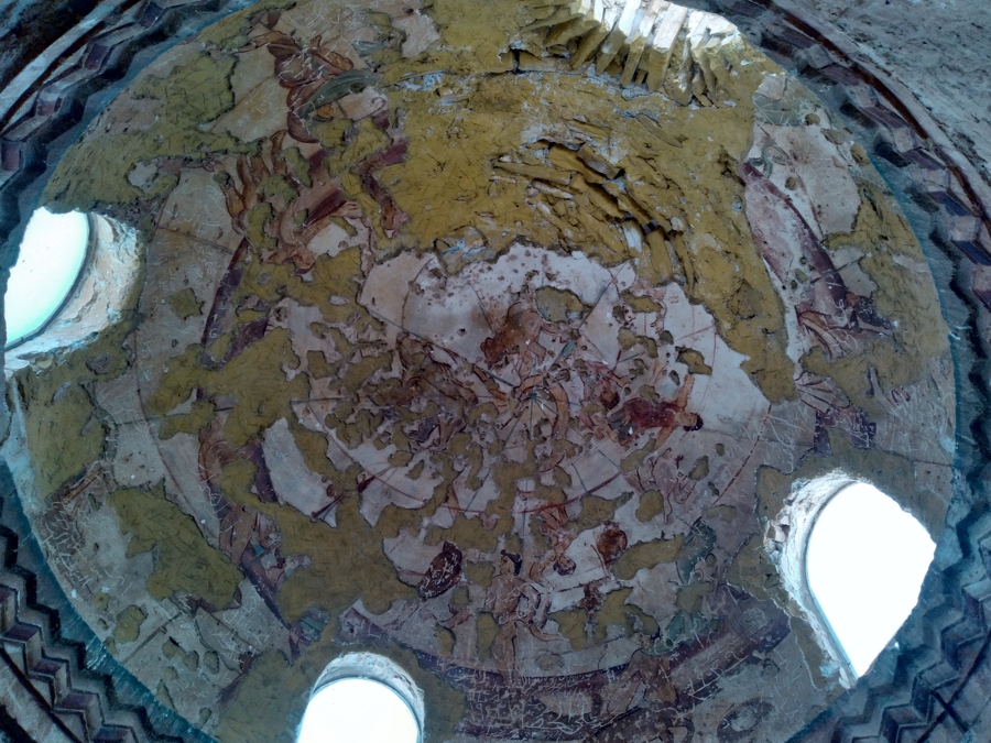
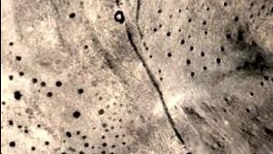
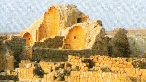
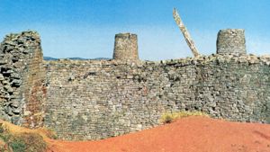
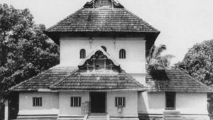
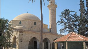
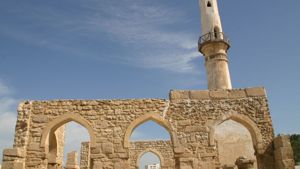
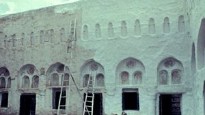
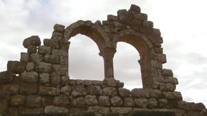
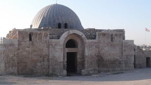
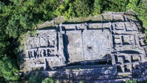
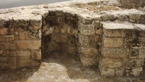
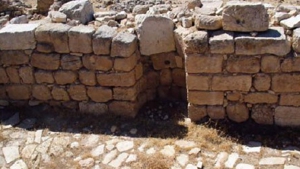
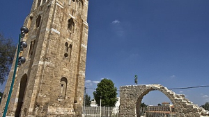
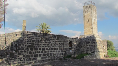
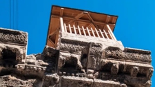
The Bathhouse is still standing and is in good shape. Of special interest is the drawing inside the dome. Even though it has been badly damaged archeologists have been able to reconstruct it.
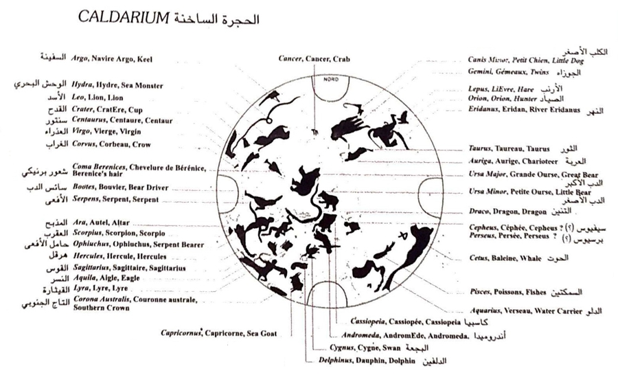
Here are the constellations in the Amra sky chart.
Drawing by Dan Gibson
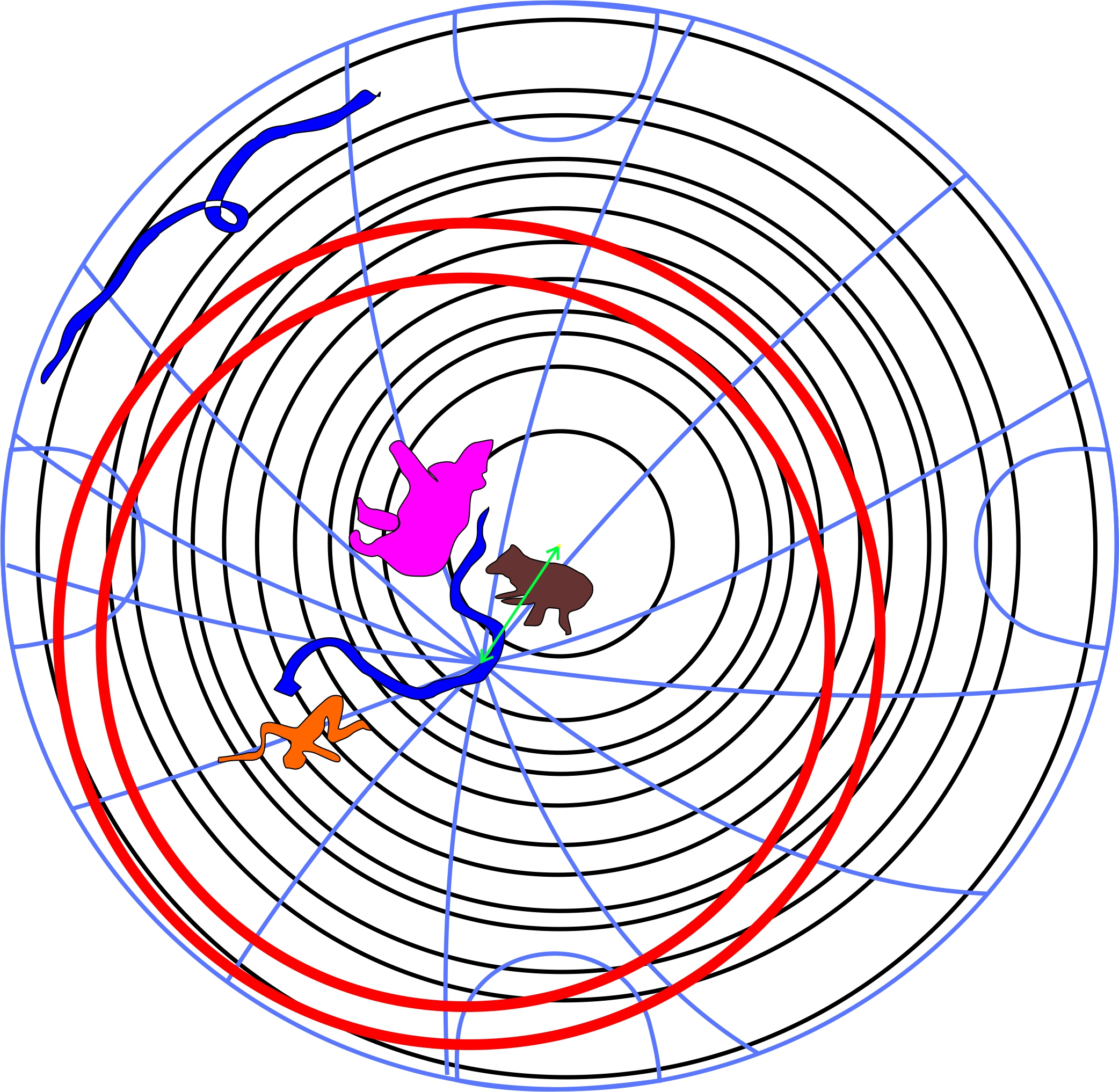
Thuban (ά)
Notice that the blue lines in the chart above are focused on the Dragon constellation at the star: Thuban (ά) The two red circles also center on Thuban. The traditional name Thuban is derived from the Arabic word ثعبان thuʿbān (‘large snake’ (e.g. a python or a legendary draconian serpent)). It is sometimes known as the Dragon’s Tail.
Due to the precession of Earth’s rotational axis, Thuban was the naked-eye star closest to the north pole from 3942 BC, when it superseded Tau Herculis as the pole star, until 1793 BC, when it was superseded by Kappa Draconis. It was closest to the pole in 2830 BC, when it was less than 10 arcminutes away from the pole. It remained within one degree of celestial north for nearly 200 years afterwards, and even 900 years after its closest approach, was just 5° off the pole. Thuban was considered the pole star until about 1800 BC, when the much brighter Beta Ursae Minoris (Kochab) began to approach the pole as well. Having shifted away from the pole over the last 4800 years, Thuban is now seen in the night sky at a declination of 64° 20′ 45.6″, RA 14h 04m 33.58s. The position of the constellations help us identify what exactly we are looking at in the chart.
Some Theories
Notice that the blue lines in the chart appear to be off centered towards the bottom left. This caused Gibson and his team considerable consternation. The two sets of circles seem to indicate that two types of measurements are displayed here.
- The black lines in the chart above are clearly circles around something. Is this the north pole, with the constellations revolving around the north pole at the center of the circles? Or is this the sky directly above the Amra bath-house in 743 CE?
- The most remarkable feature however, are the blue lines. What do they indicate? Why do they focus on Thuban in the Dragon constellation? What are they trying to tell us?
Gibson has drawn a green line from the center circle to the intersecting blue lines. This line angels at about 220 degrees. So what do the blue lines indicate? Several theories are possible:
Theory 1: The center of the black circles is the north-pole, and the blue lines indicate that a second center which was also used to calculated from. One suggestion is that the second center was the north star, rather than the actual north pole. However, why would the artists choose Thuban as the intersecting point, rather than Polaris, the current North Star? There are several theories about how Thuban moved from it’s original place to where it is today. One of those theories claim that Thuban moved very slowly over the past 4800 years from being the north star to where it is today. Thuban was the naked-eye star closest to the north pole from 3942 BC, when it superseded Tau Herculis as the pole star, until 1793 BC. At that time it was superseded by Kappa Draconis which was closest to the pole in 2830 BC, when it was less than 10 arcminutes away from the pole. It remained within one degree of celestial north for nearly 200 years afterwards, and even 900 years after its closest approach, was just 5° off the pole. Thuban was considered the pole star until about 1800 BCE, when the much brighter Beta Ursae Minoris (Kochab) began to approach the pole as well. In Arabic this was known as the North Star (Arabic: al-kawkab al-šamāliyy meaning “the north star”). Around 500 CE Polaris moved closer and became the North Star we use today. So through the entire Nabataean period from 500 BCE to 500 CE the star that indicted the North Pole was Kochab (kawkab). Today Kochab is 16 degrees away from Polaris. So why would the blue lines focus on Thuban, the North star from several millennia ago rather than on Kochab?
Another theory uses much the same data but claims the pregession from Thuban to Kochab to Polaris came about by radical shifts in the earth’s poles. The last shift was is 701 BC when a near bypass of a celestial object caused the earth to slow, and the poles to shift. It was in 701 BC that calendars around the world were changed from 300 days to 365 or 366 days. Thus previous shifts in the north pole were earlier than this, and were also the result of major outside influences on the earth, and were marked by catastrophic events recorded in history. The difference between this theory and the one above is mostly that the shift in the poles was not gradual but was caused by catastrophic events. So do the blue lines indicate a previous north pole? If so, this raises the question of how would this be in the memory of the painters of the star chart in the Qasr Amra Bath-house? Again why would the center of the blue grid be Thuban?
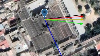
Another theory figures that the center of the black circles is not the north pole, but the sky directly above the Amra bath-house. If this is the case, the blue lines might indicate that the ‘center of the earth’ is located about 220 degrees away from the middle of the sky, or 220 degrees from Amra. The blue lines could be illustrating the concept that the Holy City was in the center of the earth. In other words, it would represent the Qibla direction. But is the sky chart flipped? Which is east or west? Gibson measured the angle of the various Qiblas from Amra and they are: a) Jerusalem 269°, b) Petra 214°, c) Between 184.5°, d) Mecca 163.6°. If this theory is correct, then the chart might be indicating that the center of the earth would be Petra.
A final and more likely theory is that the very center of the dome represents true north, and the grid lines are the ecliptic grid for the sun; basically the axis that the sun goes around, which is 23.5 degrees from true north, because of the tilt of the earth. Or it could be for the moon as well since it goes through a similar path. The fat red lines might be the region that the sun actually travels through. It’s fat because of the difference in where the sun moves according to the seasons. If this is the case, then the Amra dome has nothing to do with the Qibla, or where the center of the earth is. See the illustration below:
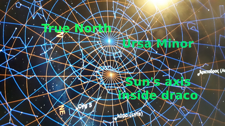
The sun/moon theory.
As you can see, this star chart created a lot of discussion.
The Center of the Earth
Muslims have long thought that their holy city was the center of the earth. While most people think this applies to Mecca in Saudi Arabia, this star chart seems to indicate that Petra may have been the original object of this idea.
Qur’an 2:143 tells us: “Thus We have made you a middle nation.” al-Baqarah 2:143
This verse in in context of the assigning a qibla towards Masjid al-Haram. Later Al-Qurtubi said in al-Jaami‘ li Ahkaam al-Qur’an (2⁄153): What is meant is that just as the Ka‘ba is the middle of the earth, so too We have made you a middle nation.” This idea is supported by Ibn Jareer at-Tabari in his Tafseer (3⁄141) and Tafseer al-Qur’an al-‘Azeem, 1⁄454; Mafaateeh al-Ghayb, 2⁄387; and ad-Durr al-Masoon, 2⁄134.
Early Muslims beleived that Qur’an 6.92 also indicated that the Holy City, known here as Um-Qura (Mother of Towns) was the center of the earth. (See The Names of Petra paper to learn how the this term was found in the Petra Scrolls and used as a name for Petra.) “*And this (the Quran) is a blessed Book which We have sent down, confirming (the revelations) which came before it, so that you may warn the Mother of Towns (i.e. Makkah) and all those around it*” al-An‘aam 6:92
Ibn ‘Abbaas said: “The first spot to be created on earth was the location of the House (the Ka‘bah), then the earth spread out from there. And the first mountain that Allah placed on the surface of the earth was Abu Qubays, then the mountains spread out from there.”
Al-Mannaawi said in Fayd al-Qadeer (3⁄108): “then the earth spread out from there” on all sides, so it is the centre of the earth and its pole.
Abu Yahya ibn Abi Masarrah told us: my father told me: Sa‘eed ibn Saalim al-Miqdaah told us, from Ibn Jurayj, from Mujaahid, who said: The first spot (to be created) of the earth was the site of the House (the Ka‘bah), from which the earth spread out. Abu Ja‘far said: This report is more likely to be correct.
It was narrated that ‘Abdullah ibn ‘Amr ibn al-‘Aas said: Allah created the House (the Ka‘bah) two thousand years before the earth … then the earth spread out from beneath it. Narrated by at-Tabari in his Tafseer, 6⁄20 with an isnaad of which the narrators are trustworthy (thiqaat). In ad-Durr al-Manthoor (2⁄265) it is attributed to Ibn al-Mundhir, at-Tabaraani and al-Bayhaqi in ash-Shu‘ab.
It was narrated that Ibn ‘Abbaas said: The House (the Ka‘bah) was placed over the water on four pillars, two thousand years before this world was created, then the earth spread out from beneath the House. Narrated by at-Tabari in his Tafseer, 3⁄61, with an acceptable isnaad.
It was narrated that Abu Hurayrah (may Allah be pleased with him) said: The Ka‘bah was created two thousand years before the earth. They said: How could it be created before it, when it is part of the earth? He said: There was an island on the water, on which there were two angels who glorified Allah by night and day for two thousand years. Then when Allah wanted to create the earth, He spread it out from there and made it in the middle of the earth.
Ka‘b al-Ahbaar also narrated tht ‘Abd ar-Razzaaq said in al-Musannaf (5⁄95): The House (the Ka‘bah) was floating on the water forty years before Allah, may He be exalted, created the earth, and from it the earth spread out.
However, it was also narrated from Qataadah – in Fadaa’il as-Sahaabah by Imam Ahmad (2⁄901) – the rock of Bayt al-Maqdis is the centre of the earth. Bayt al Maqadas usually refers to Jerusalem.
In conclusion, there is no manuscript evidence that we can turn to that clearly supports the claim that the Holy City of Islam was the center of the earth. But this teaching seems to stem from the early years of Islam.
Conclusion
So what can we learn from the star chart in Qasr Amra which was built 126 years after the founding of Islam? Is it charting the Qibla or the movement of the sun?
So what can we learn? If you have some idea, feel free to make a comment below.
References
Genequand, Denis, 2002. “Une mosque à Quṣayr ʿAmra”, Annual of the Department of Antiquities of Jordan 46: 583-589. http://publication.doa.gov.jo/Publications/ViewChapterPublic/1783
Genequand, Denis, 2012. Les établissements des élites omeyyades en Palmyrène et au Proche-Orient, Bibliothèque archéologique et historique 200, Beirut: IFPO. https://www.ifporient.org/978-2-35159-380-6/ Additional reference II https://www.flickr.com/photos/apaame/4322165472/in/album-72157623326221990/
Dissertation: Isqaat al-Kurrah al-Ardiyyah bi’n-Nisbah li Makkah al-Mukarramah by Dr Husayn Kamaal ad-Deen Ahmad, Majallat al-Buhooth al-Islamiyyah, Riyadh, 2⁄292
Dissertation: al-Isqaat al-Makki li’l-‘Aalam, Dr Husayn Kamaal ad-Deen Ahmad, Majallat al-Buhooth al-Islamiyyah, Riyadh, 6⁄225.


Page Discussion
Membership is required to comment. Membership is free of charge and available to everyone over the age of 16. Just click SignUp, or make a comment below. You will need a user name and a password. The system will automatically send a code to your email address. It should arrive in a few minutes. Enter the code, and you are finished.
Members who post adverts or use inappropriate language or make disrespectful comments will have their membership removed and be barred from the site. By becoming a member you agree to our Terms of Use and our Privacy, Cookies & Ad Policies. Remember that we will never, under any circumstances, sell or give your email address or private information to anyone unless required by law. Please keep your comments on topic. Thanks!