Copyright 2002 CanBooks
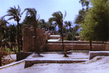
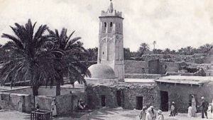
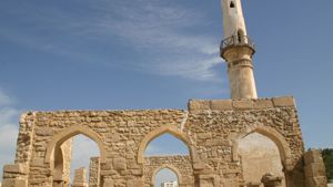
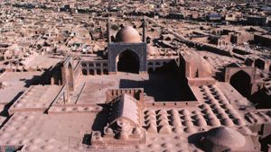
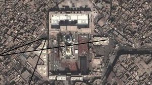
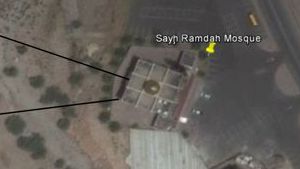
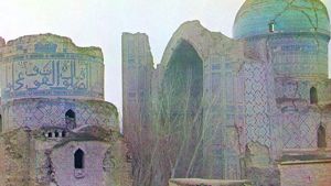
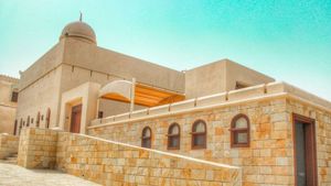
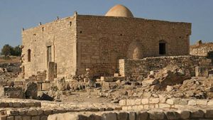
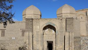
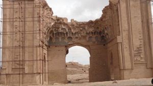
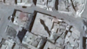
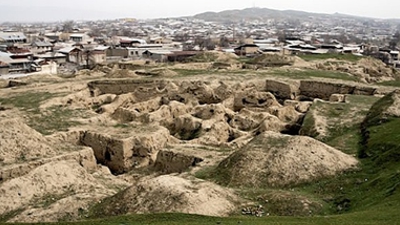
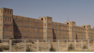
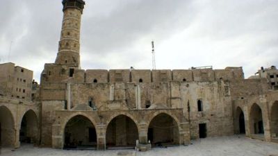
The Nabataean city of Humeima (ancient Hawara) an important historical site, as it is a city that was founded by the Nabataeans, and survived only into the Byzantine era. During the Muslim conquests, the Abbasid family maintained a large house and a mosque here, and from this site they launched their takeover of the Muslim Empire. The Muslim section of the city was on the south side, and probably much of the city was in ruins during their time, due to several devastating earthquakes. (19 May 363; 9 July 551)
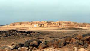
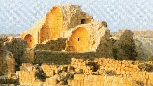
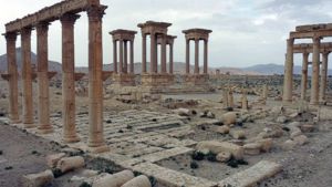
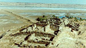
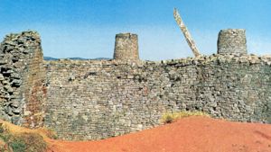
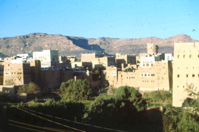
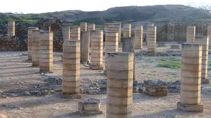
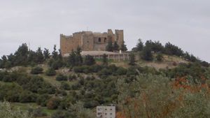
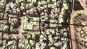
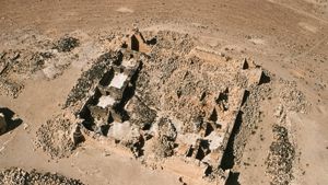
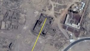
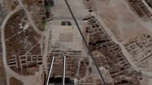
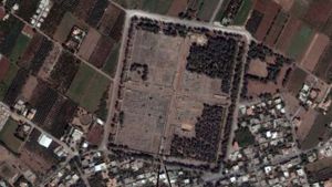
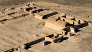
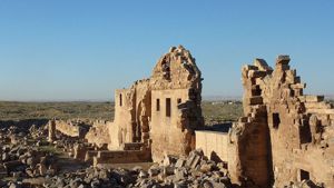
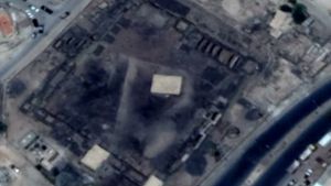
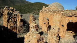
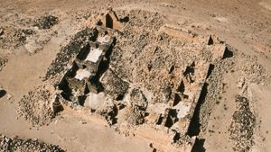
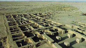
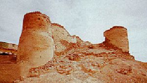
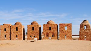
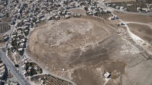
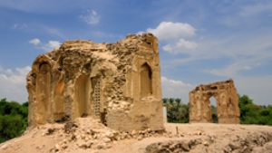
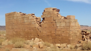
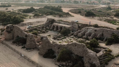
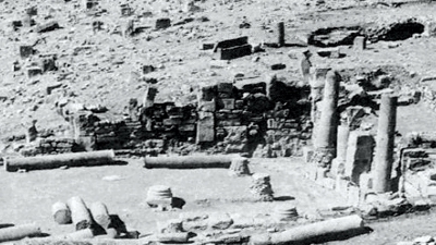
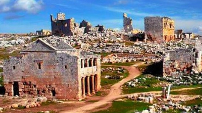
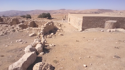
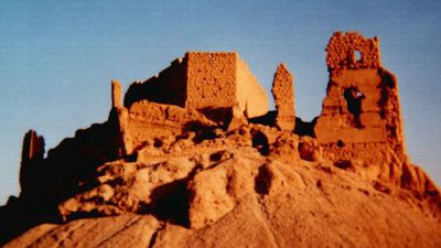
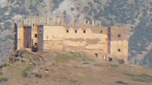
Taken from the mountain behind Humeima, this picture shows the extent of the rock ruins. The building on the right is the one used by Dr. John Oleson during his excavations. Just to the right, off this picture, is the remains of the old Abbasid mosque.

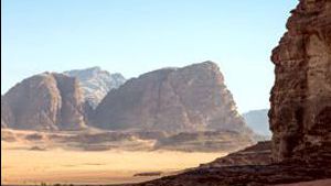
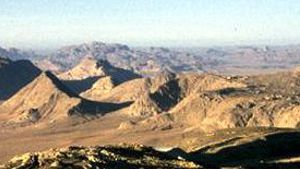
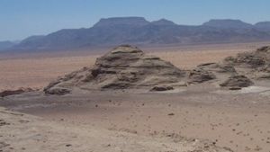
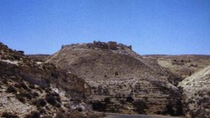
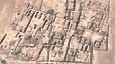
Humeima from a distance
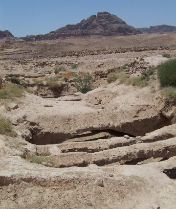
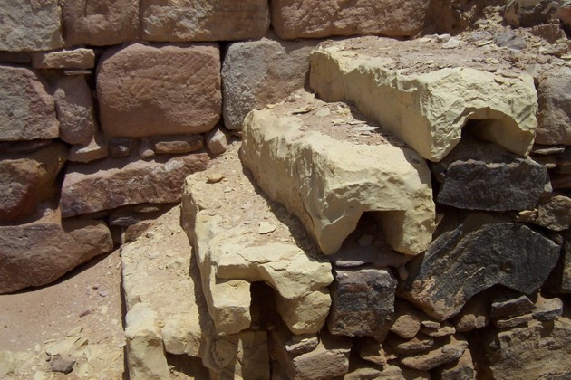
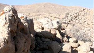
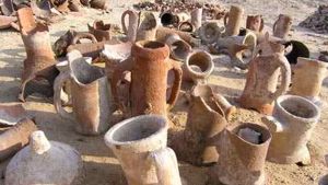
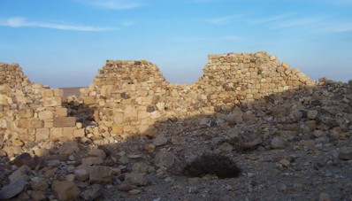
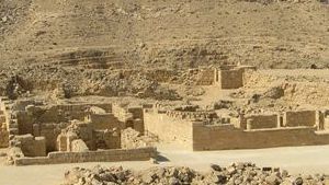
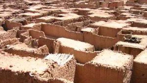
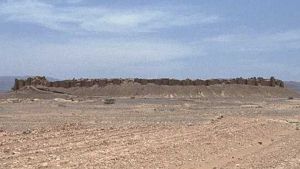
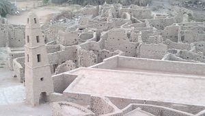
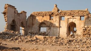
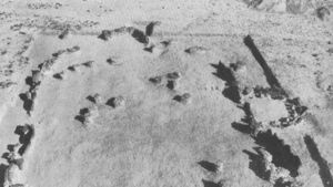
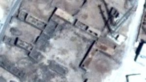
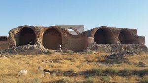
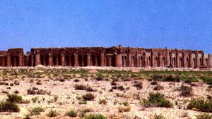
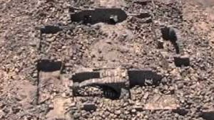
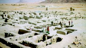
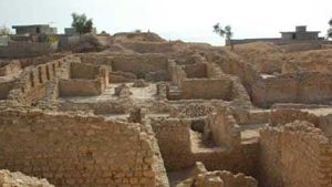
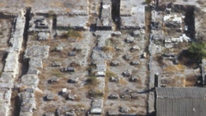
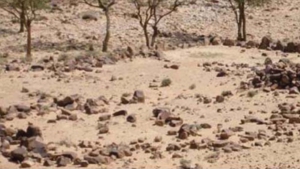
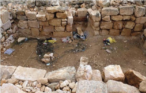
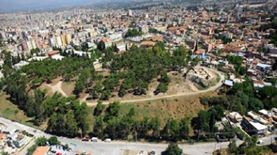
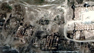
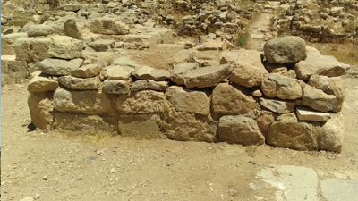
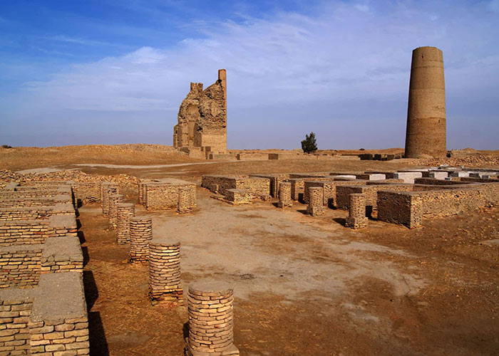
Most of the city is still a pile of stones. Despite years of excavating, archeologists are still just beginning to discover what all lies beneath these piles of rocks.
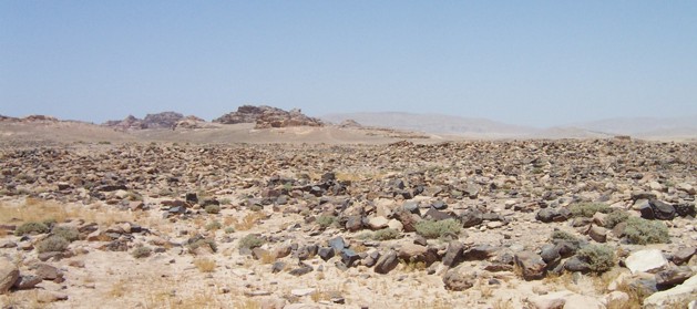
Rocks of Humeima
The city of Humeima was founded by the Nabataean king, Aretas. According to legend, … “Aretas set out to investigate the oracle, which was ‘to seek a place auara - that is ‘white’ in Arabic, or Syrian. When Aretas had arrived and was keeping watch there appeared to him an apparition, a man clothed in white riding a white camel, and when the apparition disappeared there appeared spontaneously a craggy hill firmly rooted in the earth. There he founded a town.” John Oleson, ‘Humeima Hydraulic Survey, 1989’ Echos du Monde Classique,/Classical Vies, 34, n,s, 9, 19900, 145-163. Dr. John Oleson is responsible for all excavations at the Humeima site.
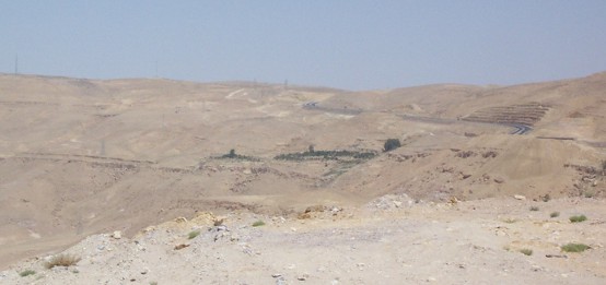
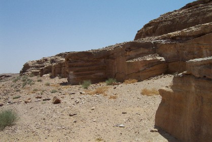
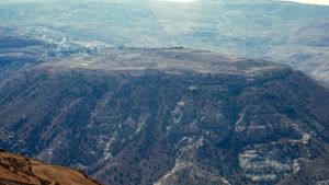
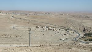
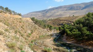
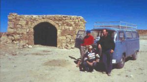
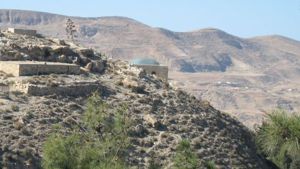
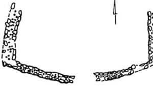
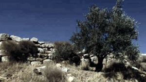
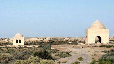
Springs in the distance
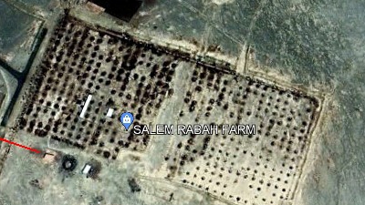
Because the city had no nearby water source, water was brought to the city in a covered aqueduct from two natural springs 27 kilometers to the north. The picture to the left shows where one of the water sources was located. In this picture you are looking at the Naqab escarpment from below. The new highway begins at the top of the hill right in the middle of the picture and swings to the right of the picture and then left. In the center is a patch of green. This is a modern farm built at the old artesian well site.
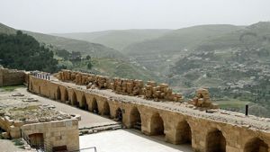
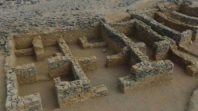
This water was then stored in a number of Nabataean cisterns scattered around the city.
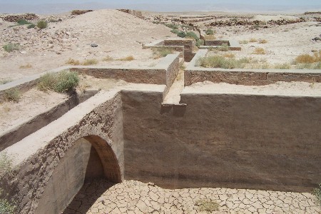
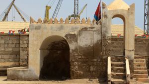
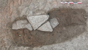
In the picture above you can see the aqueduct as it enters a cistern. The water first enters a smaller settling pool, and then the clean water would enter the main pool. The original cistern was covered. This cistern is still in use in the spring time, but the local Bedouin have removed the covering, except for this arch at one end.
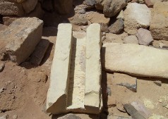
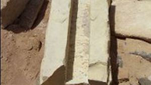
Above: One of the stones from the aqueduct. These pieces would then be covered with a stone lid.
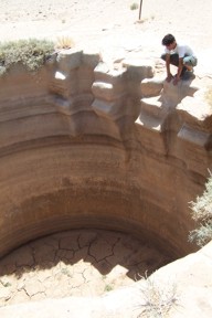
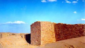
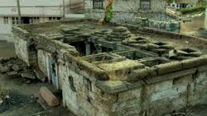
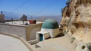
A covered cistern, with the roof caved in.
The cistern above was apparently cut from solid rock and then plastered with waterproof cement. Evidence of the arches that spanned the top can be seen on the right.
This water was then stored in a number of Nabataean cisterns scattered around the city.
As with all Nabataean cisterns these cisterns had a number of uniquely Nabataean features to them. (for a fuller description of Nabataean water cisterns, see “Nabataean Water Works,”) They were all dug deep in the ground, and covered with arches and a strong stone roof to combat evaporation. The Nabataeans were loath to waste even one drop of water, especially in a city with no nearby source of water. They were also waterproofed with Nabataean cement
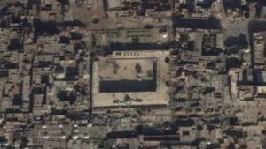
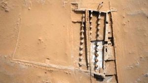
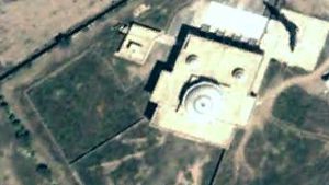
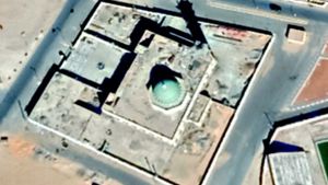
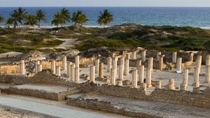
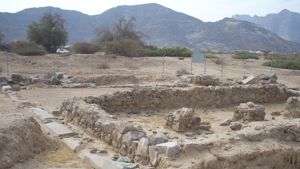
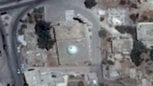
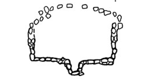
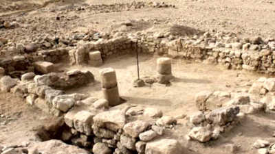
On the North east corner of the city however, there is a pool that does not fit this description. It is shallow, open, and wide, and has a step down into the water in all four corners. Rather than being dug deep into the ground, it has a stone walkway around the outer edge of the pool, and is open for the sun to beat down upon it. Can you guess what this pool was used for? Archeologists are not sure, but we would like to make a guess at its use here.
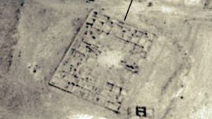
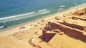
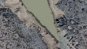
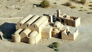
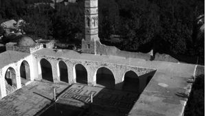
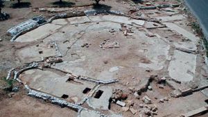
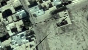
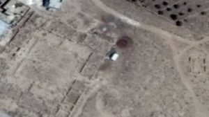
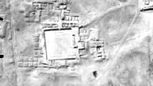
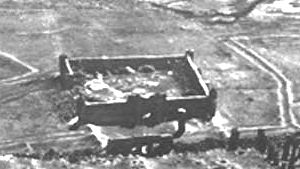
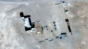
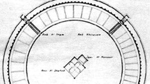
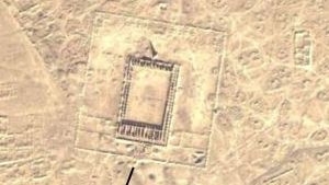
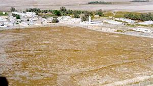
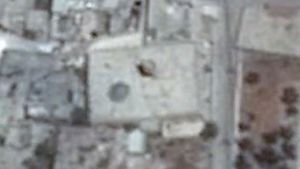
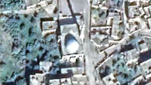
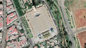
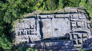
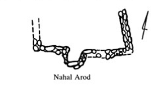
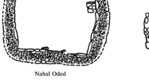
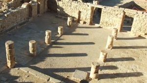
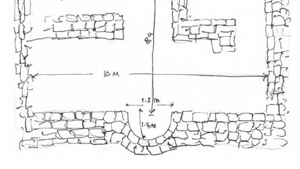
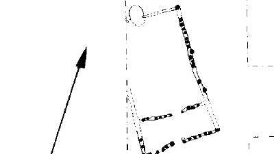
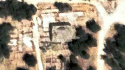
The Great Pool in Humeima
On the northern end of the ancient Nabataean city of Humeima is a very strange pool. All Nabataean water cisterns were deep, narrow, and covered. (See Nabataean Water Collection) To all intents and purposes the strange pool in Humeima appears to be a large swimming pool, approximately 17 meters by 27 meters in size, and 1.5 meters deep. (This would hold approximately 688.5 cubic meters of water).
The pool was fed by a small aqueduct on the north end (14 x 10 cm), and paralleled by two other small aqueducts. The main water source for the city (outside of local collection tanks for runoff) was several springs 27 km to the north of the city. As the water entered the city one of the aqueducts fed a large pool which appears to be a swimming pool. From this point the flowing water also made its way farther into the city to the main underground water storage systems.
This pool measures approximately 17 meters by 27 meters, and is only 1.5 meters deep. While it looks like a swimming pool, the factor that is most telling are the four large steps that are located in each of the four corners. These steps are located quite high on the side of the pool, making it difficult for the casual tourist to clamber out of the empty pool but they are perfectly located for a swimmer wanting to enter or leave the pool. On a recent Nabataea.net trip to Humeima, Dan Gibson, a Middle Eastern historian explained his reasons for believing this was an ancient swimming pool. Perhaps the oldest of it’s kind in the world. After having surveyed dozens of Nabataean cisterns and pools, Gibson explained that all Nabataean cisterns were deep, narrow and covered. This was to preserve water. This pool, on the hand, is shallow, wide and open, with steps. To all intents and purposes it does appear to be a swimming pool. Gibson is working on a paper that examines this pool and several others in Nabataea, to explain his theory of why the Nabataeans would be attracted to building swimming pools in the middle of the desert.
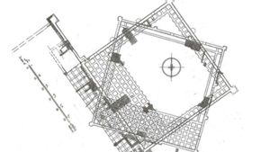
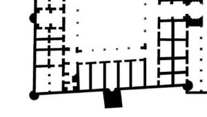
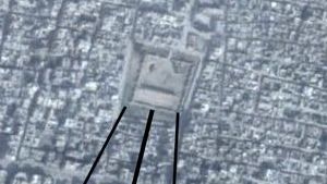
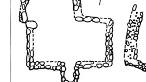
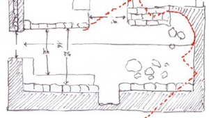
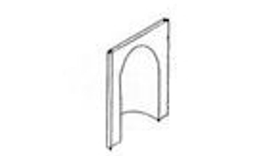
Below is a drawing illustrating the pool, the steps, and the tiled area around the pool. While Gibson does not presented conclusive evidence, it does seem that the pool in Humeima could have served little other purpose than that of a public swimming pool.
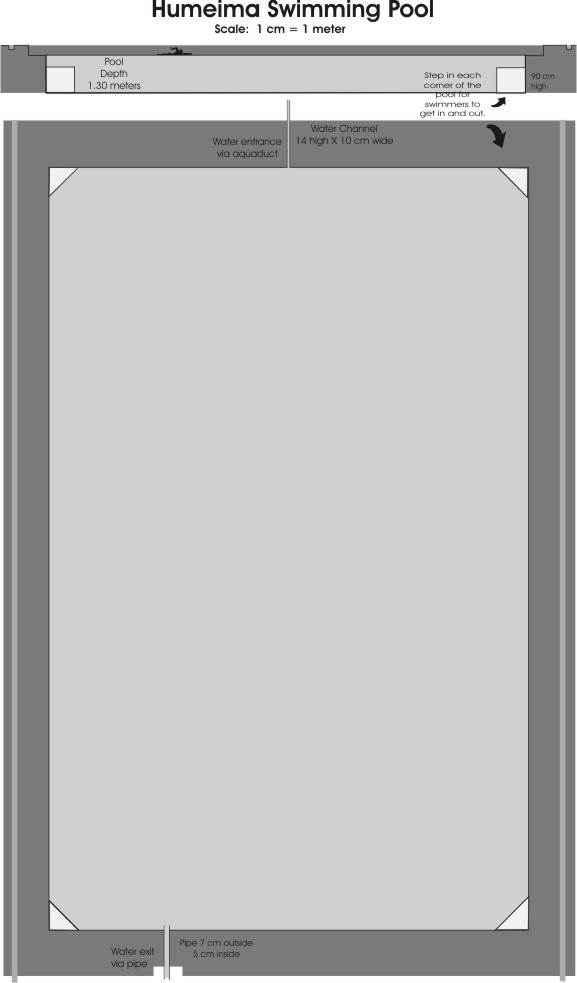
Swimming Pool Drawing to Scale
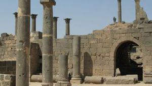
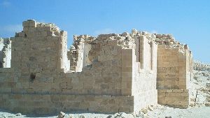
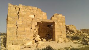
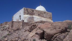
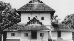
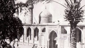
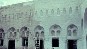
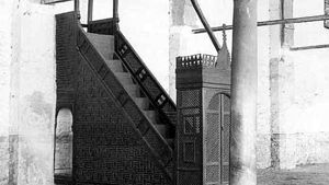
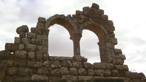
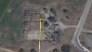
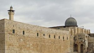
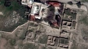
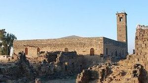
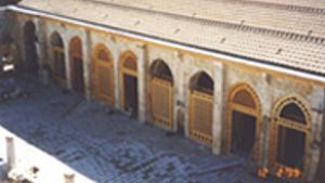
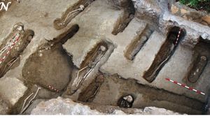
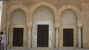
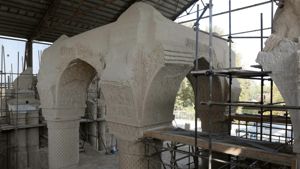
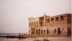
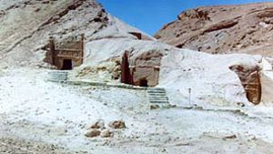
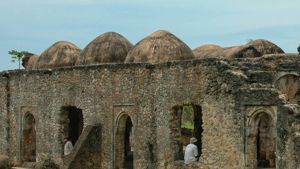
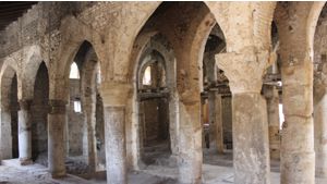
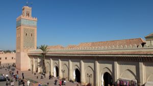
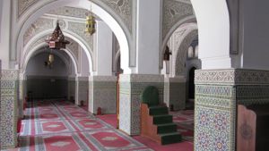
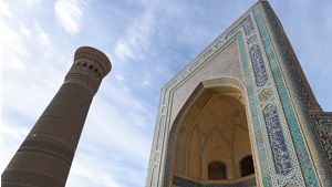
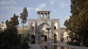
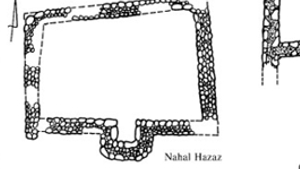
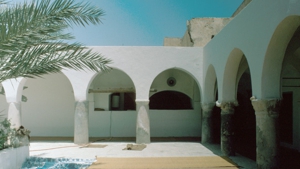
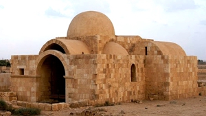
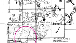
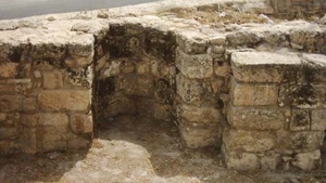
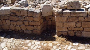
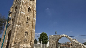
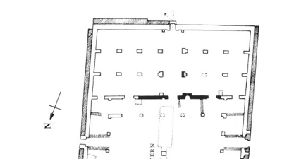
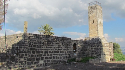
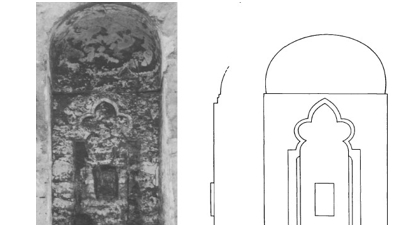
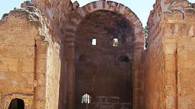
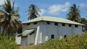
The Humeima Church
One of the sites that you should check out when you visit Humeima, is the south end church which has three asps, and an interesting stairway that led to a second story.
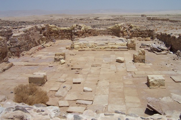
Above: The church, taken from the rear.
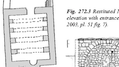
Above: The stairs in the church were made out of old pieces of aqueduct.
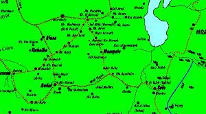
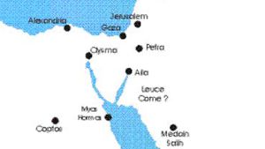
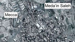
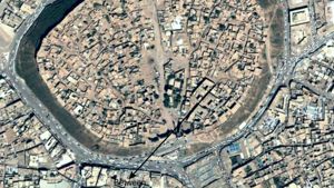
The modern town of Humeima is marked on most Jordanian road maps. It is located between Ma’an and Aqaba. To find the ancient ruins of Humeima, you need to look for the town called ‘Old Humeima.’ If you are driving south, down the escarpment, take note of the spot of green on your right. This area is now a farm, but in early times, it was a spring. There are a number of ruins here that you can visit. From this spring, the Nabataeans built an aqueduct 27 kilometers out into the desert to the town of Humeima.
As you travel down the escarpment, you will come to the first village known as Dabat al Hanut. Drive to the next small village, and notice some trees and a small store and a few buildings on your right. There is a small sign that says Al Humeima Cooperative Touristic Association, Ministry of Tourism. Immediately after the store, turn right onto a narrow hard surfaced road. (If you miss the corner, you will drive to the new town of Humeima).
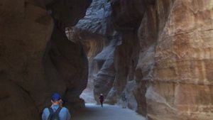
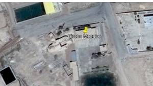
Travel down this road 8 kilometers until you come to a place where you can see a dirt track off to your right. In the wadi, just off the road, the municipality has paved the track through the bottom of the wadi. If you have a car with low clearance, park here, otherwise follow the dirt track through the wadi and on into the town. Park near the first building and explore from there.
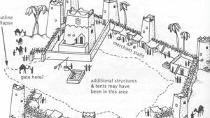
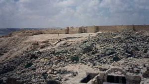
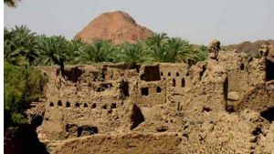
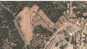
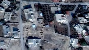
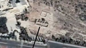
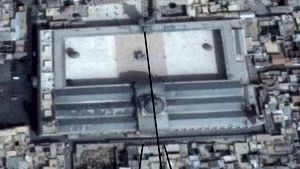
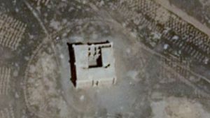
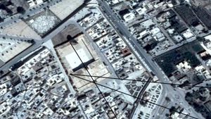
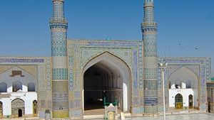
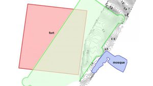
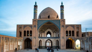
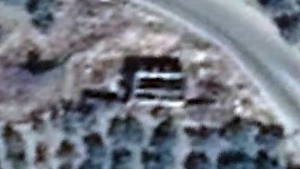
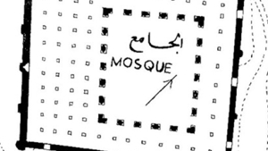
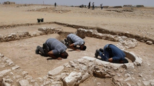
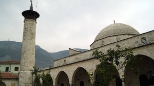
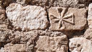
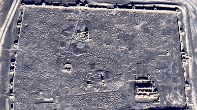
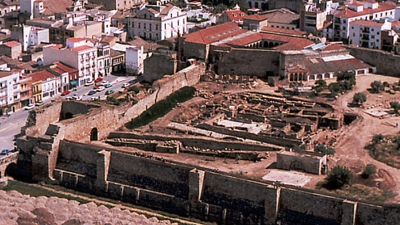
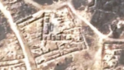
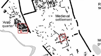
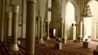
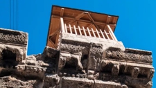
As you explore the ruins, look for signs of the aqueduct, the restored and currently used pool at the end of the aqueduct, ancient underground water cisterns, churches on the south end of town, (notice the clever use of old aqueduct stones on the stairs, and the crosses on the church floor where people where buried), and the Abbasid mosque where the Abbasid dynasty started. Notice the foundations of the old mosque underneath the newer one. On the south east corner of the city, near the newly excavated pool is the foundations of a very large Roman fort. Because of the ruinous state of the fort, it is impossible to show it here. Arial photographs have been taken, but we have not been able to obtain permission to use any of these. Below are some pictures taken around Humeima.
On the hills behind Humeima are many old rock quarries
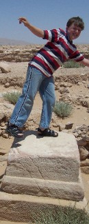
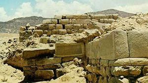
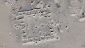
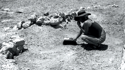
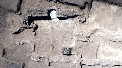
Located in the center of the Roman fort is this base. Josiah is illustrating where a statue might have stood. The base appears to have an inscription on it.

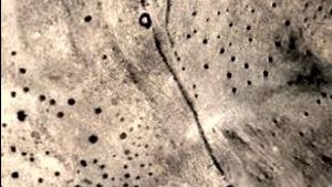
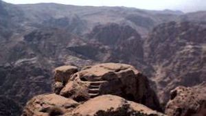
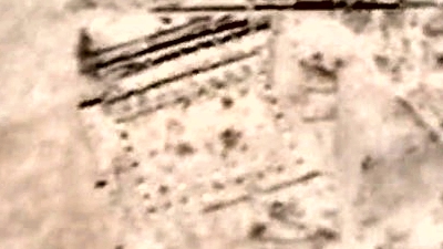
On the mountains behind Humeima, a set of stairs leads up to what may have been an exposure platform.
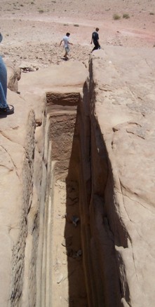
The top of the exposure platform has a very thin, deep trench, and marks where the grid may have been placed across the top.
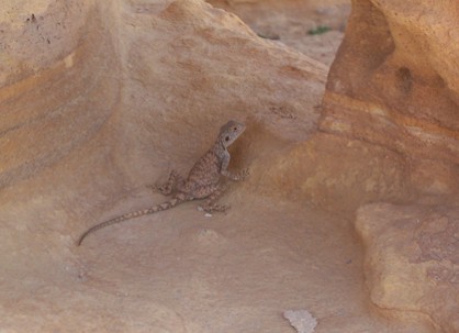
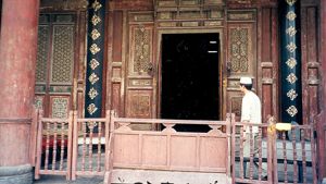
One of the modern inhabitants of Humeima.
You can read an archeological report on Humeima at this site: http://web.uvic.ca/~jpoleson/Humayma/HumaymaDesc.html


Page Discussion
Membership is required to comment. Membership is free of charge and available to everyone over the age of 16. Just click SignUp, or make a comment below. You will need a user name and a password. The system will automatically send a code to your email address. It should arrive in a few minutes. Enter the code, and you are finished.
Members who post adverts or use inappropriate language or make disrespectful comments will have their membership removed and be barred from the site. By becoming a member you agree to our Terms of Use and our Privacy, Cookies & Ad Policies. Remember that we will never, under any circumstances, sell or give your email address or private information to anyone unless required by law. Please keep your comments on topic. Thanks!