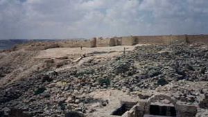
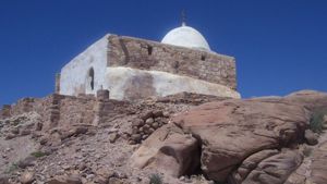
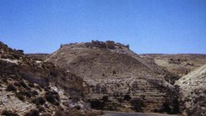
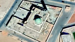
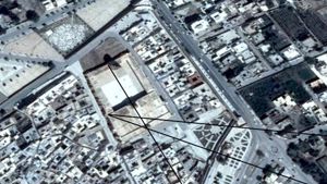
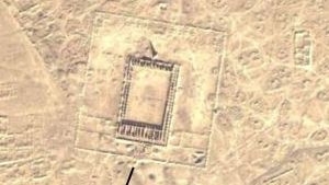
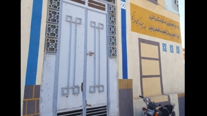
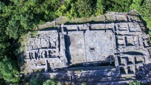
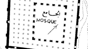
Mosque Name: Ba’ayith
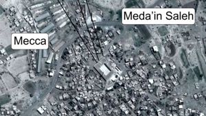
Country: Saudi Arabia
City: Ba’ayith
Year of construction (AD): 750-799
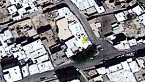
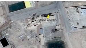
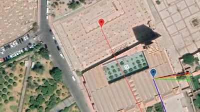
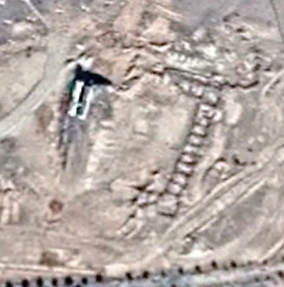
GPS: 26.049907 41.922744
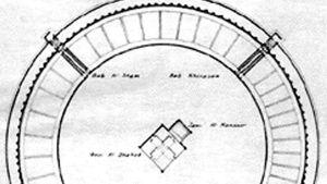
Gibson Classification: unknown
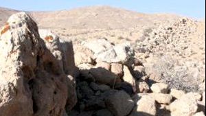
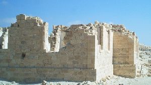
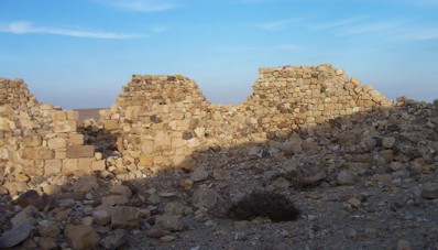
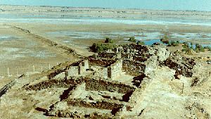
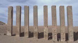
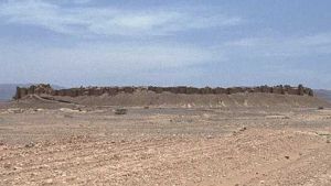
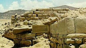
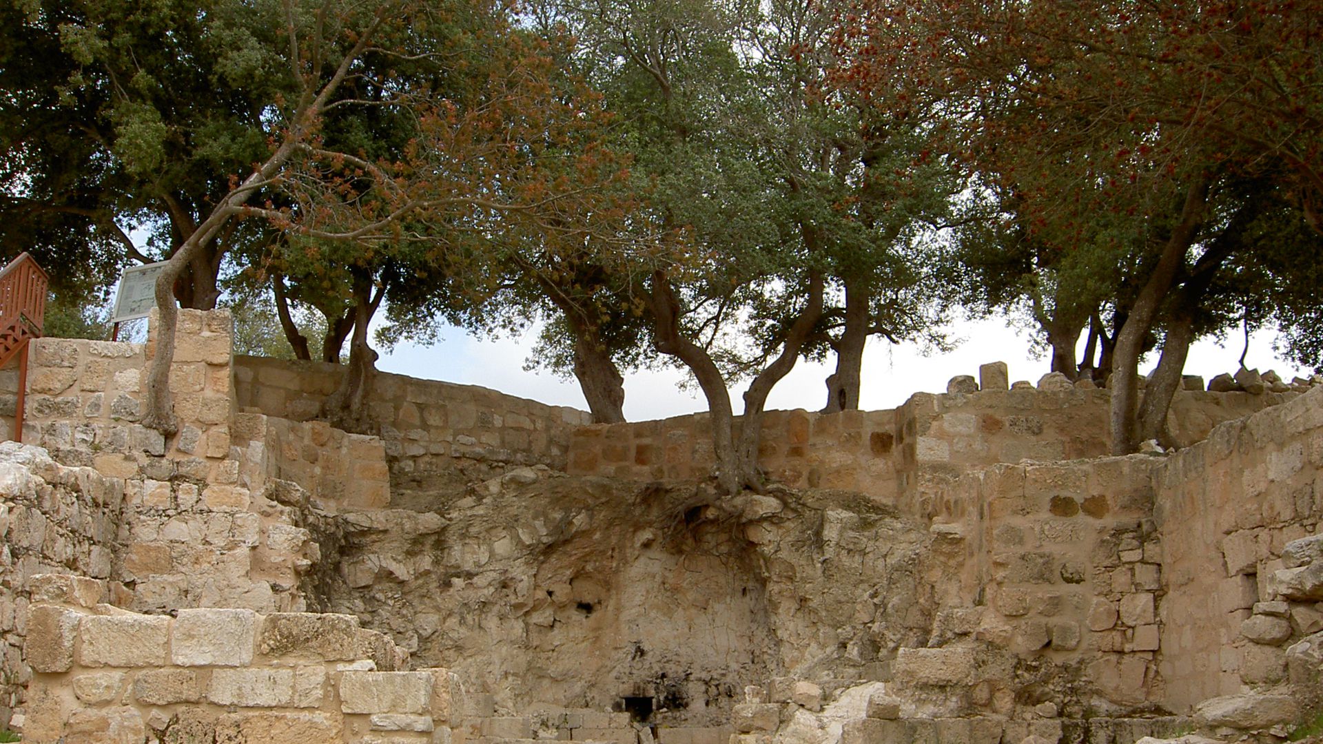
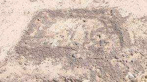
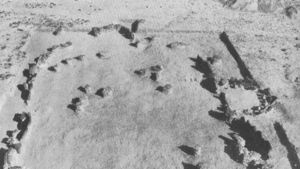
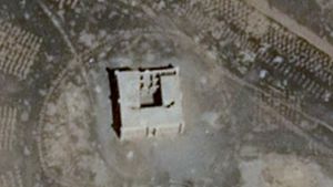
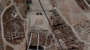
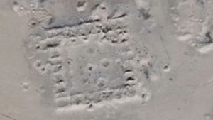
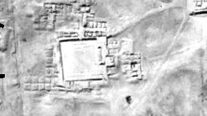
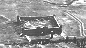
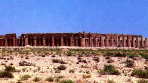
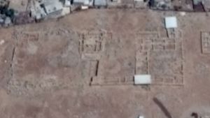
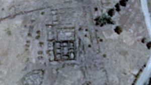
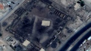
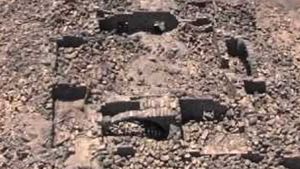
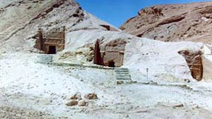
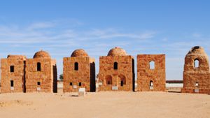
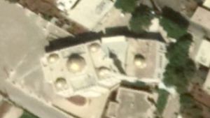
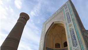
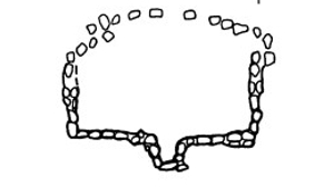
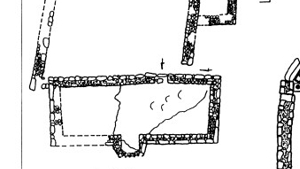
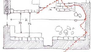
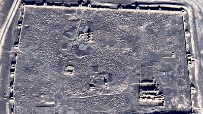
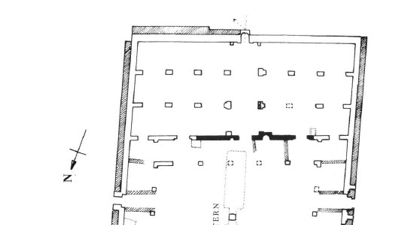
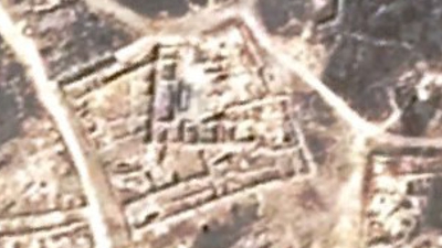
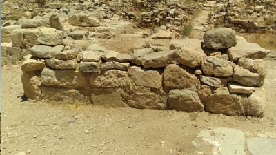
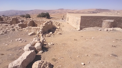
Description:
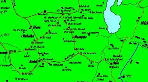
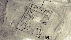
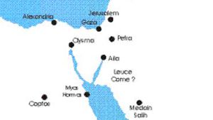
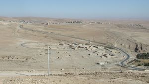
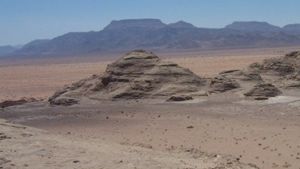
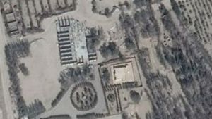
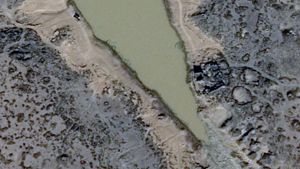
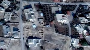
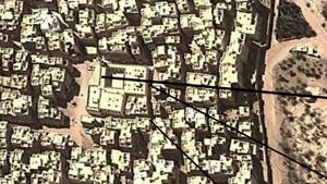
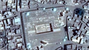
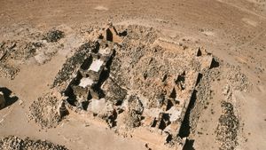
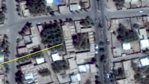
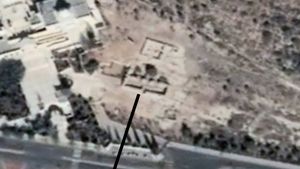
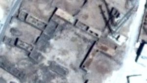
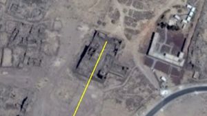
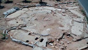
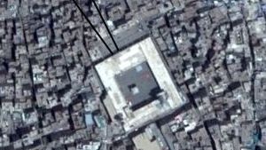
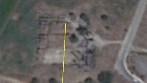
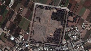
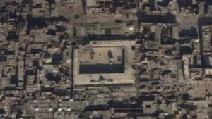
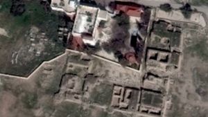
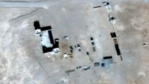
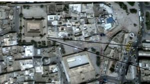
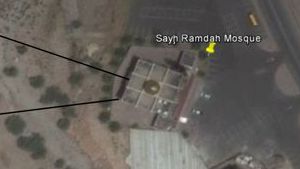
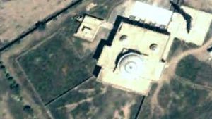
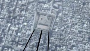
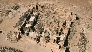
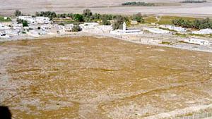
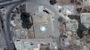
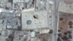
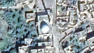
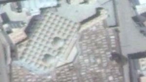
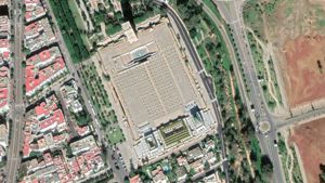
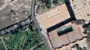
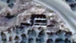
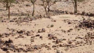
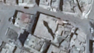
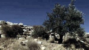
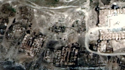
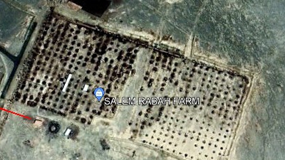
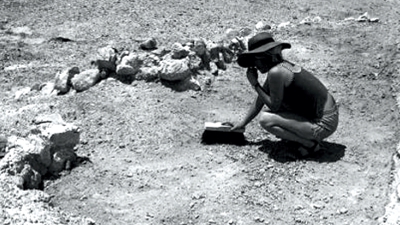
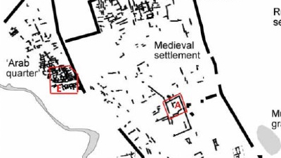
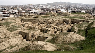
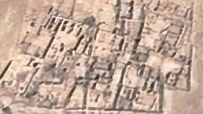
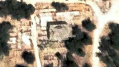
Identifying the Ba’ayith site mentioned by Saudi archaeologists has been difficult. If anyone has the exact GPS coordinates it would be helpful. The coordinates given here were taken from the Israeli Archeological database, but seem to be too far east. The town of Ba’ayth is at: 26.023070° 41.803988°. There seems to be ruins at the old farm at: 26.059581° 41.828001°
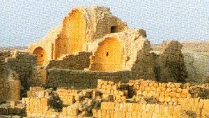
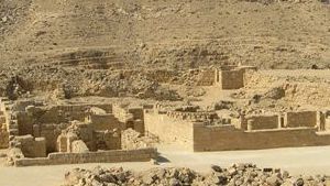
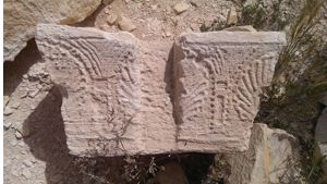
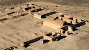
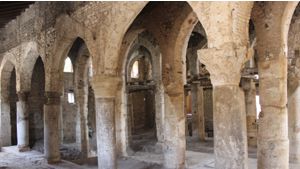
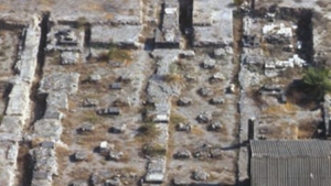
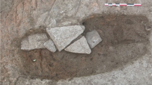
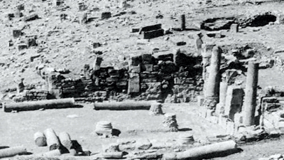
The mosque has been dated according to former research as: 750-900 CE. The date is based on historical texts, mosque parallels, inscriptions, datable objects, C14, stratigraphy, construction techniques, stratigraphy and pottery.
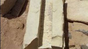
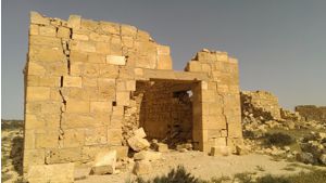
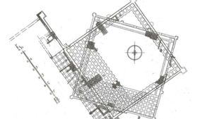
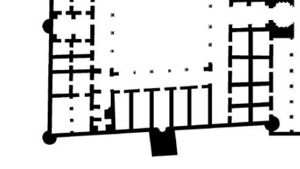
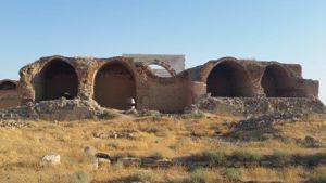
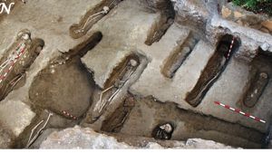
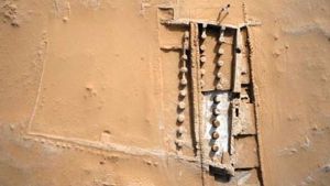
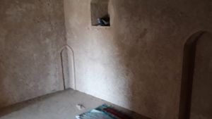
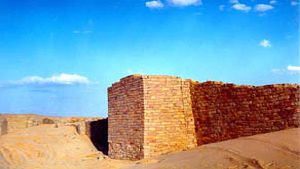
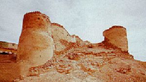
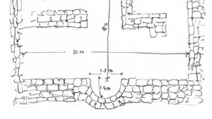
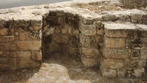
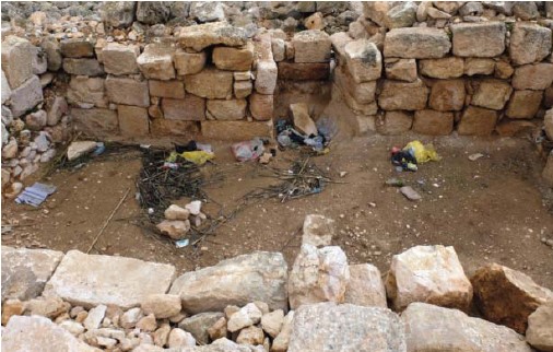
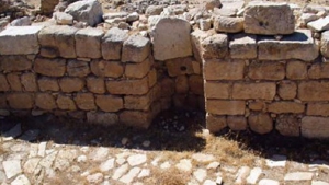
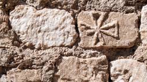
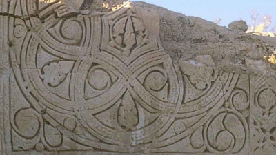
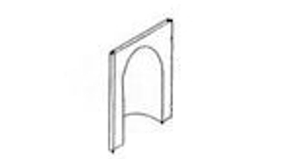
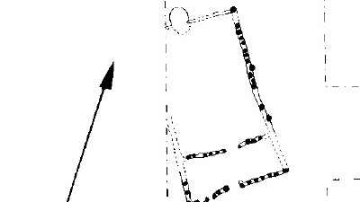
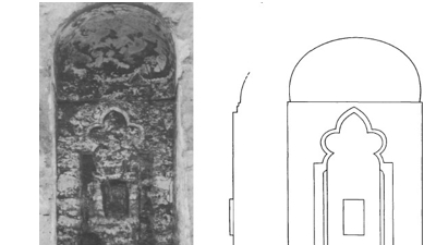
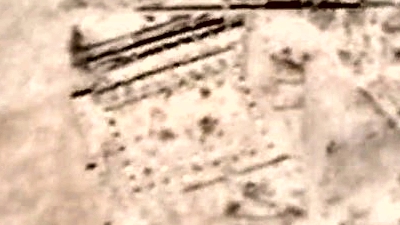
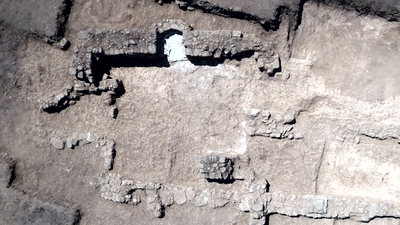
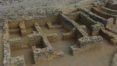
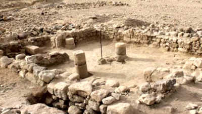
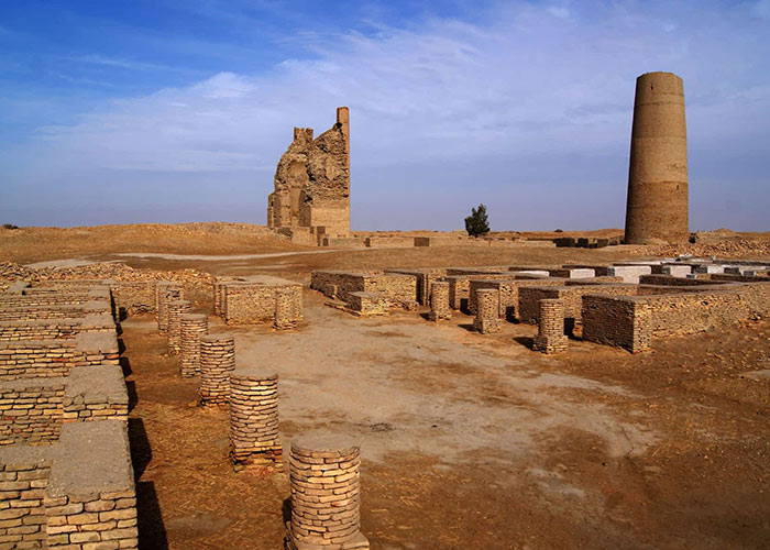
There were also blue-green glazed pottery, possibly from the 9th century, and some Chinese pottery, t.p.q. the 9th-10th century. The reports said there was a semicircular Mihrab, but no direction was given.
References:
Mackenzie, Neil D., and al-Ḥelwah, Salāh, 1980. “Darb Zubayda Architectural Documentation Program, a. Darb Zubayda-1979: A Preliminary Report”, Atlal 4: 37-65, pp. 39-40.


Page Discussion
Membership is required to comment. Membership is free of charge and available to everyone over the age of 16. Just click SignUp, or make a comment below. You will need a user name and a password. The system will automatically send a code to your email address. It should arrive in a few minutes. Enter the code, and you are finished.
Members who post adverts or use inappropriate language or make disrespectful comments will have their membership removed and be barred from the site. By becoming a member you agree to our Terms of Use and our Privacy, Cookies & Ad Policies. Remember that we will never, under any circumstances, sell or give your email address or private information to anyone unless required by law. Please keep your comments on topic. Thanks!