How Far did the Ancient Nabataean Merchants Travel?
Around 287 BC Ptolemy II of Alexandria in Egypt set in motion a plan that would change the ancient world. Abandoning the life of military conquests set by his father, he chose to pursue science and understanding. Upon founding the Great Library of Alexandria and its accompanying Museum Ptolemy II set about filling these buildings with the acquired knowledge of the world. In order to do this, Ptolemy II turned to the merchants of Alexandria for help. This had a profound impact on international trade. Suddenly small items like parchments, scrolls, maps, calendars, compasses, time-pieces, and other paraphernalia all had value. But how could they establish how much value these items had? The more distant the origin, its uniqueness and its scientific importance all affected its monetary value.
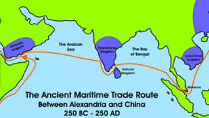
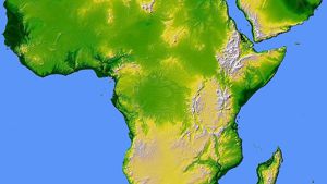
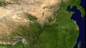
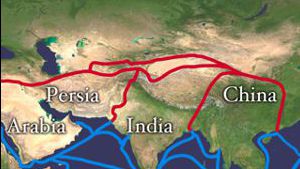
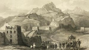
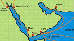
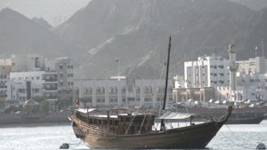
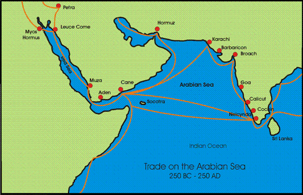
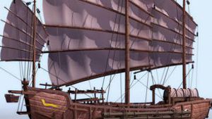
While many merchants scoured the ports and cities of Europe, the Nabataean merchants of Arabia turned to their distance sources where they traditionally traded for spices, incense and other valuable commodities. In the three centuries that followed, Nabataean merchants expanded their search to every corner of the globe that was accessible to their dhows: the African coast, India, China, and beyond.
Just how far did the Nabataean merchants travel? This is very hard to determine. There are several methods of doing this, although short of an inscription it is impossible to prove the extent of their travels. Below we will look at several indicators that demonstrate how Nabataean merchants traveled most of the known world. Is this fool-proof? Absolutely not! But it is interesting to consider.
Inscriptions
The ancient Nabataeans wrote in several scripts. Archeologists have named their official script “Monumental Nabataean.” This is the script that is found on official monuments and documents. The common people, however, wrote in two other scripts known as Safaitic and Thamudic. These were often accompanied with petroglypths. There are thousands upon thousands of these inscriptions, usually in the form of graffiti, written all over the Middle East. The Faculty of Oriental Studies in Oxford England established a database of the location of Safaitic writing that has more than 20,000 entries. Many archeologists now believe that Thamudic, Safaitic, and Monumental Nabataean were all writings of the same people: The Nabataeans. Interestingly enough, from the graffiti we learn that most Nabataeans could read and write. This is probably due to their being merchants, and their interest in navigation and mathematics.

Thamudic graffiti
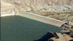
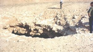
While Safaitic is the most common script in the Middle East, Thamudic writings have been found in many far flung areas of the world. These have been noted by interested amateur historians, but unfortunately we are not aware of any academic studies. If you know of any, please contact us. The theory we currently hold to is that Nabataean merchants scribbled their names or symbols onto rocks as they traveled to the far distant corners of the earth. These symbols are often found along side of, or combined with petroglypths.
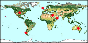
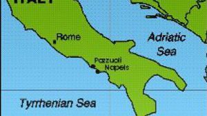
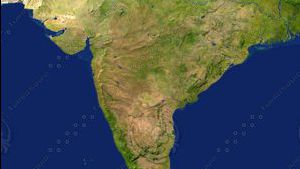
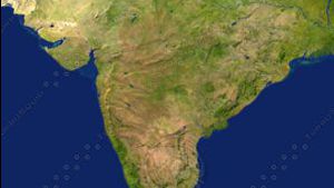
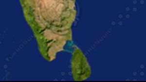
Enthusiasts have reported what looks like Thamudic and Safaitic graffit in many corners of the world.
Maps
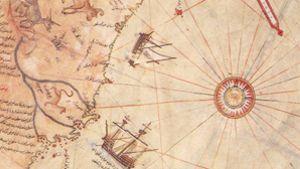
The Piri Re’is Map of the World was made by a man named Piri Ibn Haji Memmed, otherwise known as Piri Re’is around 1513 AD. This man was an Admiral in the Turkish navy, and he made his map from approximately 20 very ancient source maps, plus several maps captured from the Portuguese. He claimed the western portion of the map was obtained from a navigator who traveled with Christopher Columbus. He also claimed some of the source maps were dated from the time of Alexander and the Ptolemy’s, and that some of the others were based upon mathematics.
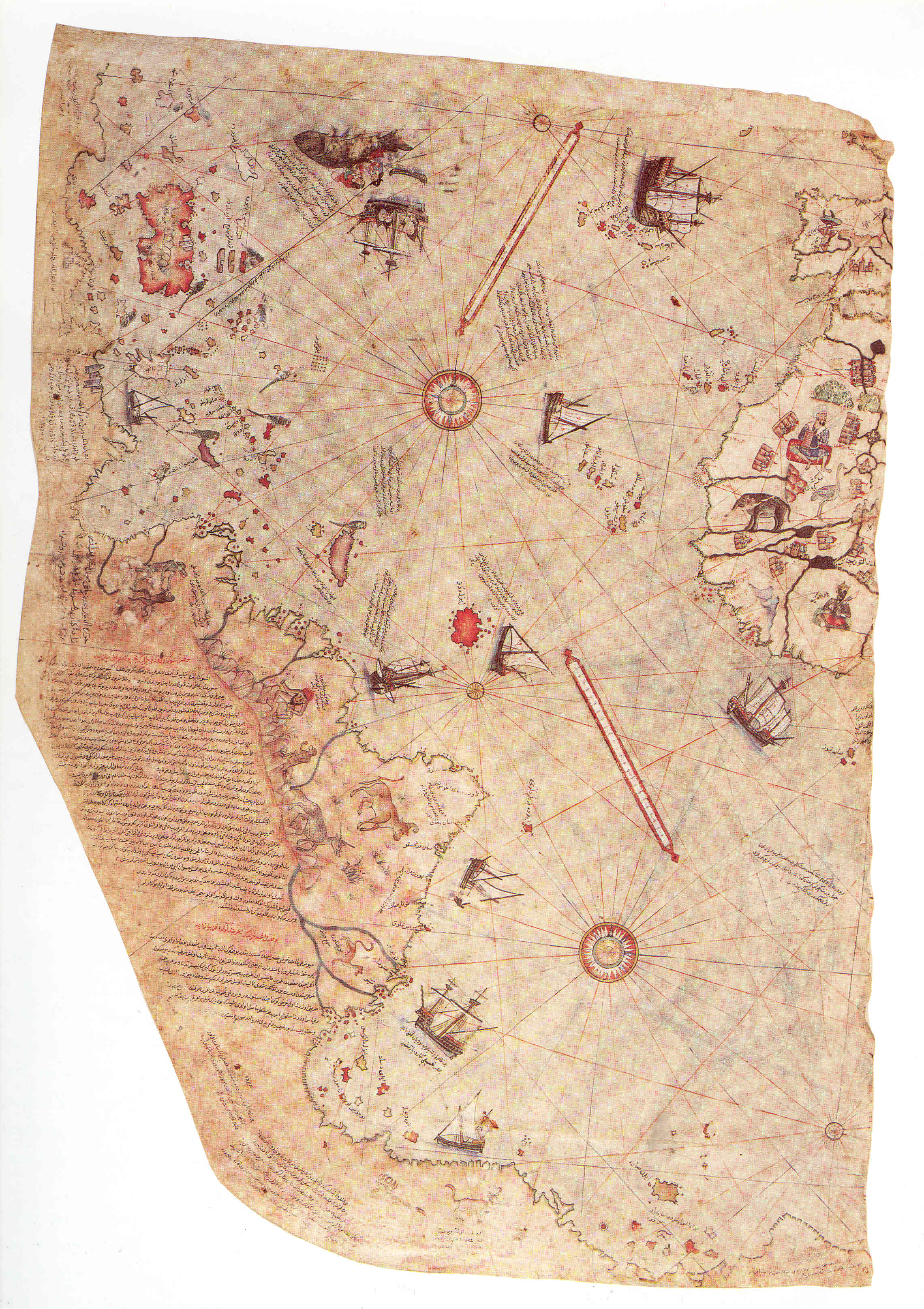
What remains of Piri Re'is Map
Only a fragment of his original map is in existence today. (right) Notice what appears to be Arab dhows sailing in the Atlantic, along the South American coast, and near Antarctica. An inscription near Antarctica describes night as “two hours” long," which certainly does suggest Antarctic latitudes. Also notice that the map clearly shows mountains in the interior of South America, something even the Portuguese had not discovered by 1513. Some have suggested that the animals portrayed in the mountains are llamas, even though they appear to have horns, and amazingly enough, a note says “The gold mines are endless.”
As you can see in the picture, the map contains many inscriptions. Most of the inscriptions tell us which maps that particular section was constructed from. The most interesting part of the map, however, is the part that shows Antarctica and South America. Near this section of the map, an inscription (near the bottom left hand side) reads:
“This section shows in what way this map was drawn. In this century there is no map like this map in anyone’s possession. The hand of this poor man has drawn it and now it is constructed. From about twenty charts and Mappae Mundi: these are charts drawn in the days of Alexander, Lord of the Two Horns, which show the inhabited quarter of the world; the Arabs name these charts Jaferiye-from eight Jaferiyes of that kind and one Arabic map of Hind, (India) and from the maps just drawn by four Portuguese … and also from a map drawn by Colombo in the western region I have extracted it. By reducing all these maps to one scale this final form was arrived at. So that the present map is as correct and reliable for the Seven Seas as the map of these our countries is considered correct and reliable by seamen.”
From this we can assume that Piri Re’is constructed the portion of the map showing Antarctica and South America from ancient Arab maps dating from the time of the Ptolemy rulers of Egypt.
Now it could be argued that the Nabataean sailed to Antarctica and South America and produced maps and records that were stored in the Great Library of Alexandria. These would have been lost to the world in the fire of 48 BC. However, it seems that in the Middle East, at least one Nabataean map survived until 1513, when it was incorporated into Piri Re’is Map.
Opponents to this idea argue that the scientific knowledge it would take to produce this kind of map (such as plane geometry and trigonometry) were not available in Arabia. However, those that support the Nabataean theory quote Abu Bakr Ahmad ibn Ali ibn Qais ibn Wahsiyah an-Nabati, who was a physician and botanist around 900 AD. He was a great scholar in his day and interestingly enough he attributed nine-tenths of all scientific knowledge known in his day to the ancient Nabataeans. His books are known as Al-Filiaheh an-Nabatiyah (904 AD) and As-Sumum wat-Tiyaqat (900 AD). Ibn Wahsiyah claimed that the Nabataeans, who were held in low regard by the Arabs of his day, where in fact the ones who brought to the Arabs the knowledge of mathematics, astronomy, navigation, geography, animal husbandry and much more.
Based on this, it is possible that Nabataean merchants not only traded in knowledge and understanding, but that they began collecting and assimilating this knowledge for themselves, especially in the years after the destruction of the Great Library of Alexandria.


Page Discussion
Membership is required to comment. Membership is free of charge and available to everyone over the age of 16. Just click SignUp, or make a comment below. You will need a user name and a password. The system will automatically send a code to your email address. It should arrive in a few minutes. Enter the code, and you are finished.
Members who post adverts or use inappropriate language or make disrespectful comments will have their membership removed and be barred from the site. By becoming a member you agree to our Terms of Use and our Privacy, Cookies & Ad Policies. Remember that we will never, under any circumstances, sell or give your email address or private information to anyone unless required by law. Please keep your comments on topic. Thanks!