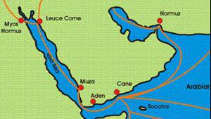
The Marib Dam
As the Sabaean kingdom developed, they built a huge earth filled dam in the second half of the 6th century BC to hold back some of the water that came down the wadi. From the lake that developed behind the dam, they developed a splendid irrigation system that watered about 25, 0000 acres.
During the years that I lived in Yemen, I had the opportunity to visit the ruins of the quarter-mile-long Marib Dam. I also viewed the new modern dam as it was built and the huge water reservoir that filled up behind the dam. When the ancient reservoir re-filled with water, hundreds of old dry wells and water canals scattered through the desert below the dam suddenly filled with water again. The ancient farmlands, that for centuries had lain deserted, were suddenly usable again.

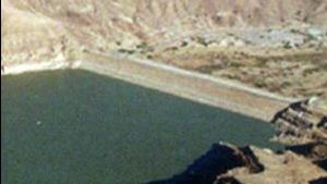
The modern dam is on the right.
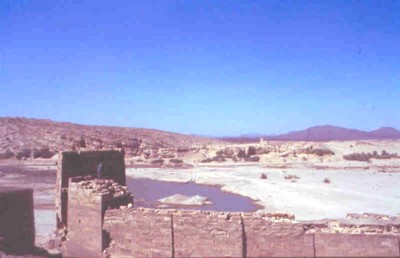
You can see people walking on the road across the top of the dam. Further to the right of this is the new lake created by the dam. Behind the dam is the wadi where water would have rushed out into the desert. The ancient dam is farther down this wadi, near the beginning of the wadi. Its location is marked by a rectangle.
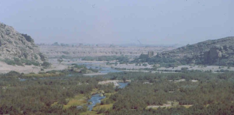
With a telephoto lens we can make out the sluice gates of the old dam. The are clearly visible on the right hand side of the wadi.

The road across the top of the new dam

The lake created by the new dam
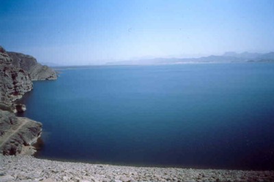
The new lake is very large.
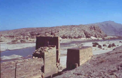
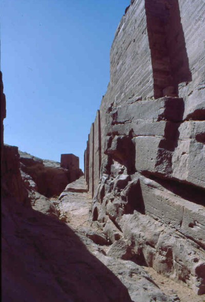
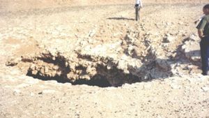
The sluice gates of the ancient dam from up close

Sluice gate towers
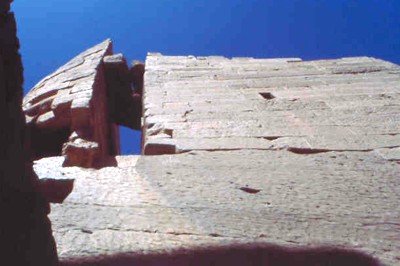
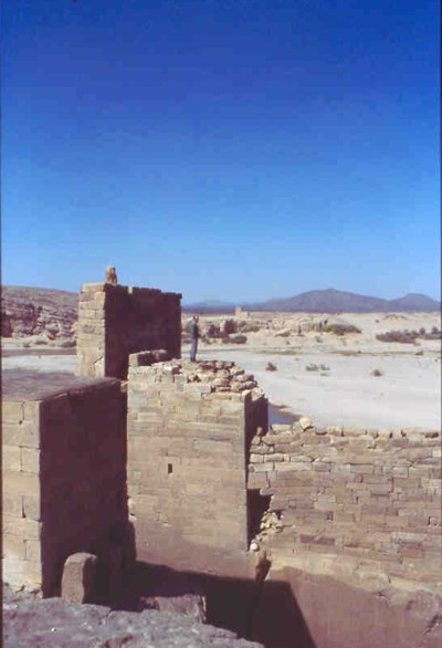
Standing on top of the Sluice Gate
The ancient dam was located between the sluice gates at the forefront of the picture and the sluice gates on the other side of the wadi. Years of erosion have removed the earthen dam, but the stone sluice gates remain to this day.

Inscription on the sluice gates of the Marib Dam
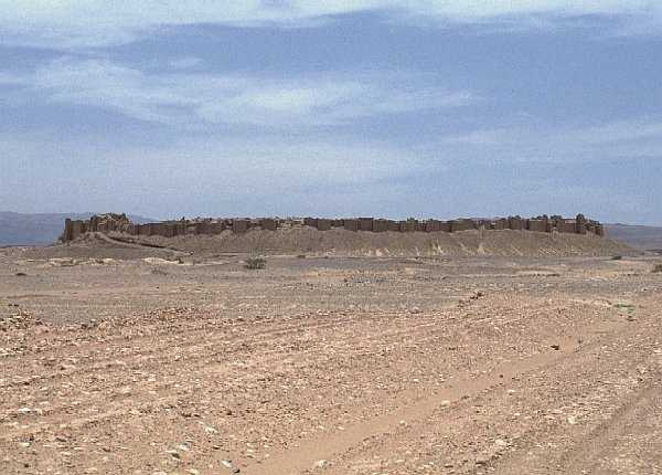
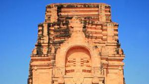
The city of Baraqish known as Yathul in ancient times.
This city was the capital of the Minaean Kingdom around 400 BC. It is located about 30 km north from the dam and must be accessed by 4 wheel drive. (Picture used with permission. Copyright Ryo YAMANA. Please visit his site Fiddler’s Photo Album to view more pictures from Yemen)


Page Discussion
Membership is required to comment. Membership is free of charge and available to everyone over the age of 16. Just click SignUp, or make a comment below. You will need a user name and a password. The system will automatically send a code to your email address. It should arrive in a few minutes. Enter the code, and you are finished.
Members who post adverts or use inappropriate language or make disrespectful comments will have their membership removed and be barred from the site. By becoming a member you agree to our Terms of Use and our Privacy, Cookies & Ad Policies. Remember that we will never, under any circumstances, sell or give your email address or private information to anyone unless required by law. Please keep your comments on topic. Thanks!